5710 Wildcat Rd Unit Bldg-Unit Clyde, MI 48049
Clyde Township NeighborhoodEstimated Value: $347,000 - $360,000
3
Beds
2
Baths
2,220
Sq Ft
$159/Sq Ft
Est. Value
About This Home
This home is located at 5710 Wildcat Rd Unit Bldg-Unit, Clyde, MI 48049 and is currently estimated at $353,942, approximately $159 per square foot. 5710 Wildcat Rd Unit Bldg-Unit is a home located in St. Clair County with nearby schools including Edison Elementary School, Fort Gratiot Middle School, and Port Huron Northern High School.
Ownership History
Date
Name
Owned For
Owner Type
Purchase Details
Closed on
Mar 21, 2025
Sold by
Jaworski Ernest P
Bought by
Watson James and Watson Chelsea
Current Estimated Value
Purchase Details
Closed on
Mar 19, 2018
Sold by
Plant Patricia J and Egan Michael J
Bought by
Jaworski Ernest P
Home Financials for this Owner
Home Financials are based on the most recent Mortgage that was taken out on this home.
Original Mortgage
$213,655
Interest Rate
4.44%
Mortgage Type
New Conventional
Purchase Details
Closed on
May 10, 2016
Sold by
Egan Phyllis Theresa
Bought by
Plant Patricia J and Egan Michael J
Create a Home Valuation Report for This Property
The Home Valuation Report is an in-depth analysis detailing your home's value as well as a comparison with similar homes in the area
Home Values in the Area
Average Home Value in this Area
Purchase History
| Date | Buyer | Sale Price | Title Company |
|---|---|---|---|
| Watson James | $342,500 | Liberty Title | |
| Watson James | $342,500 | Liberty Title | |
| Jaworski Ernest P | $224,900 | None Available | |
| Plant Patricia J | -- | None Available |
Source: Public Records
Mortgage History
| Date | Status | Borrower | Loan Amount |
|---|---|---|---|
| Previous Owner | Jaworski Ernest P | $213,655 |
Source: Public Records
Tax History Compared to Growth
Tax History
| Year | Tax Paid | Tax Assessment Tax Assessment Total Assessment is a certain percentage of the fair market value that is determined by local assessors to be the total taxable value of land and additions on the property. | Land | Improvement |
|---|---|---|---|---|
| 2025 | $3,071 | $145,800 | $0 | $0 |
| 2024 | $2,190 | $138,700 | $0 | $0 |
| 2023 | $2,021 | $129,200 | $0 | $0 |
| 2022 | $2,741 | $115,200 | $0 | $0 |
| 2021 | $3,758 | $110,300 | $0 | $0 |
| 2020 | $2,653 | $105,900 | $23,400 | $82,500 |
| 2019 | $2,558 | $100,400 | $0 | $0 |
| 2018 | $1,768 | $86,300 | $0 | $0 |
| 2017 | $1,680 | $80,600 | $0 | $0 |
| 2016 | $1,163 | $80,600 | $0 | $0 |
| 2015 | -- | $70,700 | $18,500 | $52,200 |
| 2014 | -- | $74,000 | $25,000 | $49,000 |
| 2013 | -- | $70,200 | $0 | $0 |
Source: Public Records
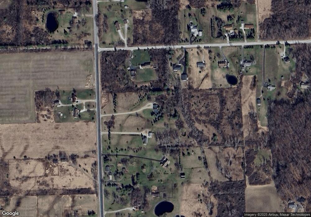
Map
Nearby Homes
- 000 Metcalf Rd
- 00 Metcalf Rd
- 5278 Metcalf Rd
- 0 Mcintyre Unit 50191499
- 0 Metcalf Rd Unit 20250029560
- 0000 Phillips Rd
- 7227 Avoca Rd
- 6761 Mels Dr
- 4452 Cole Rd
- 7171 Hewitt Rd
- 7187 Phillips Rd
- 0000 Cribbins Rd
- VL North Rd
- 0000 Norman Rd
- 7471 Imlay City Rd
- 7677 Hewitt Rd
- 000 Kilburn Rd
- 6112 State Rd
- 7604 Imlay City Rd
- 6041 Delaware Dr
- 5680 Wildcat Rd
- 5955 Mcintyre Rd
- 5955 Mcintyre Rd
- 5911 Mcintyre Rd
- 5664 Wildcat Rd
- 5889 Mcintyre Rd
- 5650 Wildcat Rd
- 5865 Mcintyre Rd
- 5705 Wildcat Rd
- 5715 Wildcat Rd
- 5894 Mcintyre Rd
- 5894 Mcintyre Rd
- 5760 Wildcat Rd
- 5590 Wildcat Rd
- 5831 Mcintyre Rd
- 5829 Mcintyre Rd
- 5847 Mcintyre Rd
- 00 Mcintyre Rd
- 5778 Wildcat Rd
- 0 Wildcat Unit 28133285