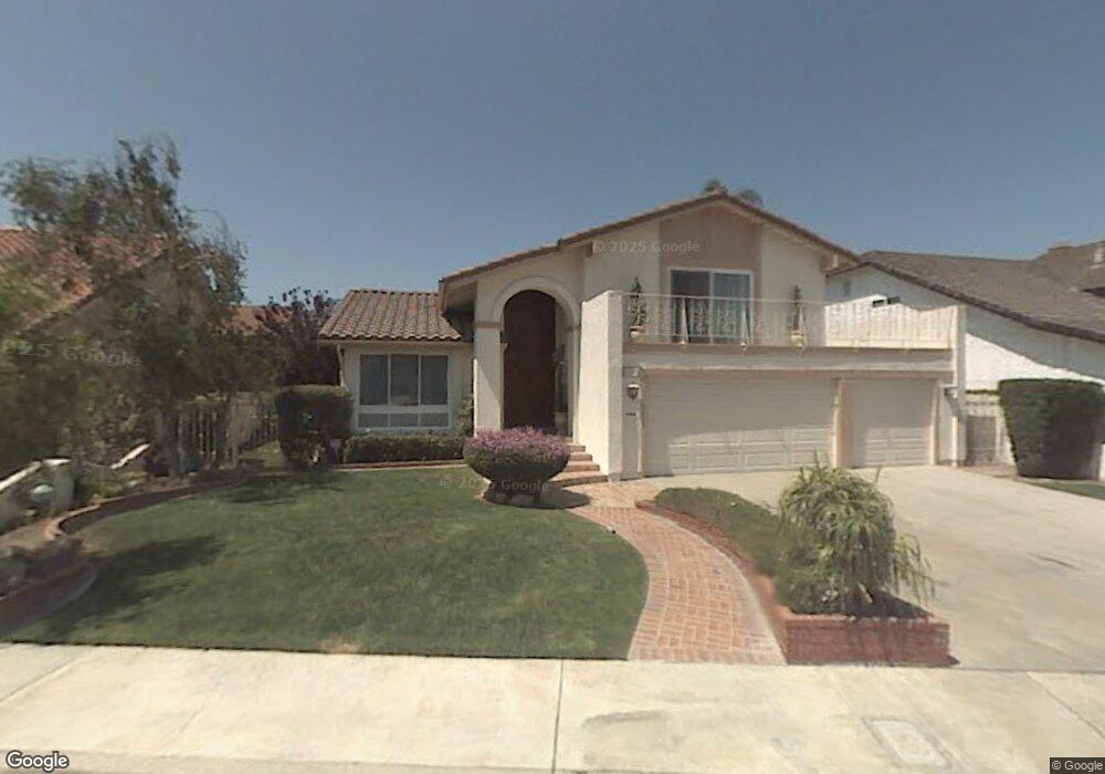
5711 Anthony Ave Garden Grove, CA 92845
West Garden Grove NeighborhoodEstimated Value: $1,305,000 - $1,485,297
About This Home
This home is located at 5711 Anthony Ave, Garden Grove, CA 92845 and is currently estimated at $1,401,074, approximately $600 per square foot. 5711 Anthony Ave is a home located in Orange County with nearby schools including Loyal Barker Elementary School, Hilton D. Bell Intermediate School, and Pacifica High School.
Ownership History
We collect this data history from publicly available records. To have your information removed, we recommend requesting removal directly through your county’s website.
Purchase Details
Purchase Details
Home Financials for this Owner
Home Financials are based on the most recent Mortgage that was taken out on this home.Purchase Details
Home Financials for this Owner
Home Financials are based on the most recent Mortgage that was taken out on this home.Home Values in the Area
Average Home Value in this Area
Purchase History
We collect this data history from publicly available records. To have your information removed, we recommend requesting removal directly through your county’s website.
| Date | Buyer | Sale Price | Title Company |
|---|---|---|---|
| -- | None Available | ||
| $858,000 | Ticor Title Co Fullerton | ||
| -- | Lawyers Title Company |
Mortgage History
We collect this data history from publicly available records. To have your information removed, we recommend requesting removal directly through your county’s website.
| Date | Status | Borrower | Loan Amount |
|---|---|---|---|
| Previous Owner | $510,000 | ||
| Previous Owner | $240,000 |
Tax History
We collect this data history from publicly available records. To have your information removed, we recommend requesting removal directly through your county’s website.
| Year | Tax Paid | Tax Assessment Tax Assessment Total Assessment is a certain percentage of the fair market value that is determined by local assessors to be the total taxable value of land and additions on the property. | Land | Improvement |
|---|---|---|---|---|
| 2025 | $14,221 | $1,172,519 | $858,734 | $313,785 |
| 2024 | $14,221 | $1,149,529 | $841,896 | $307,633 |
| 2023 | $11,778 | $942,352 | $693,805 | $248,547 |
| 2022 | $11,519 | $923,875 | $680,201 | $243,674 |
| 2021 | $11,393 | $905,760 | $666,863 | $238,897 |
| 2020 | $11,351 | $905,760 | $666,863 | $238,897 |
| 2019 | $11,089 | $888,000 | $653,787 | $234,213 |
| 2018 | $11,066 | $888,000 | $653,787 | $234,213 |
| 2017 | $9,485 | $751,000 | $516,787 | $234,213 |
| 2016 | $9,178 | $751,000 | $516,787 | $234,213 |
| 2015 | $8,463 | $689,000 | $454,787 | $234,213 |
| 2014 | $8,416 | $689,000 | $454,787 | $234,213 |
Map
- 12832 Adams St
- 5541 Tiffany Ave
- 5772 Garden Grove Blvd Unit 519
- 12751 Owen St
- 5372 Christal Ave
- 5362 Acacia Ave
- 5291 Auburn Cir
- 5681 Norma Dr
- 5221 Franklin Cir
- 5642 Meinhardt Rd
- 3790 Violet St
- 13036 Springarden Ln
- 12472 Topaz St
- 3580 Teaberry Cir
- 12311 Vera Cir
- 3621 Teaberry Cir
- 5881 Belgrave Ave
- 12122 Bailey St
- 5021 Vallecito Ave
- 6532 Killarney Ave
- 5721 Anthony Ave
- 5701 Anthony Ave
- 5712 Edward Ware Cir
- 5702 Edward Ware Cir
- 5731 Anthony Ave
- 5732 Edward Ware Cir
- 5712 Anthony Ave
- 5702 Anthony Ave
- 5722 Anthony Ave
- 5711 Edward Ware Cir
- 5721 Edward Ware Cir
- 5701 Edward Ware Cir
- 5752 Anthony Ave
- 12882 Alonzo Cook St
- 12892 Alonzo Cook St
- 12872 Alonzo Cook St
- 5731 Edward Ware Cir
- 12862 Alonzo Cook St
- 5762 Anthony Ave
- 12852 Alonzo Cook St
Ask me questions while you tour the home.