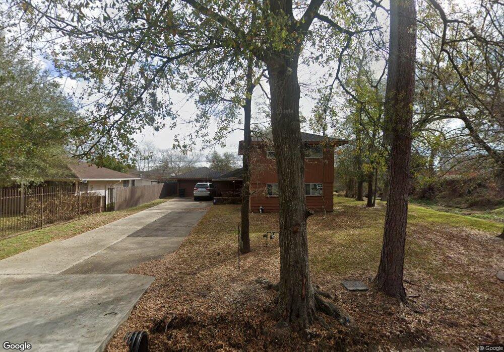
5711 Milart St Houston, TX 77021
OST-South Union NeighborhoodEstimated Value: $280,539 - $336,000
3
Beds
2
Baths
1,960
Sq Ft
$155/Sq Ft
Est. Value
About This Home
This home is located at 5711 Milart St, Houston, TX 77021 and is currently estimated at $302,885, approximately $154 per square foot. 5711 Milart St is a home located in Harris County with nearby schools including Peck Elementary School, Cullen Middle School, and Yates High School.
Ownership History
Date
Name
Owned For
Owner Type
Purchase Details
Closed on
Jul 31, 1996
Sold by
Woodham Robert Lee and Carlisle Kathryn
Bought by
Butler Jefferrey T
Current Estimated Value
Home Financials for this Owner
Home Financials are based on the most recent Mortgage that was taken out on this home.
Original Mortgage
$64,668
Outstanding Balance
$5,162
Interest Rate
8.32%
Estimated Equity
$297,723
Create a Home Valuation Report for This Property
The Home Valuation Report is an in-depth analysis detailing your home's value as well as a comparison with similar homes in the area
Home Values in the Area
Average Home Value in this Area
Purchase History
| Date | Buyer | Sale Price | Title Company |
|---|---|---|---|
| Butler Jefferrey T | -- | Fidelity National Title |
Source: Public Records
Mortgage History
| Date | Status | Borrower | Loan Amount |
|---|---|---|---|
| Open | Butler Jefferrey T | $64,668 |
Source: Public Records
Tax History Compared to Growth
Tax History
| Year | Tax Paid | Tax Assessment Tax Assessment Total Assessment is a certain percentage of the fair market value that is determined by local assessors to be the total taxable value of land and additions on the property. | Land | Improvement |
|---|---|---|---|---|
| 2025 | $8 | $224,620 | $142,650 | $81,970 |
| 2024 | $8 | $224,620 | $142,650 | $81,970 |
| 2023 | $8 | $273,342 | $142,650 | $130,692 |
| 2022 | $2,774 | $241,498 | $126,800 | $114,698 |
| 2021 | $2,537 | $184,332 | $110,950 | $73,382 |
| 2020 | $2,510 | $147,587 | $79,250 | $68,337 |
| 2019 | $2,380 | $137,495 | $71,325 | $66,170 |
| 2018 | $1,362 | $128,321 | $61,419 | $66,902 |
| 2017 | $1,965 | $115,995 | $47,550 | $68,445 |
| 2016 | $1,787 | $100,145 | $31,700 | $68,445 |
| 2015 | $975 | $82,791 | $31,700 | $51,091 |
| 2014 | $975 | $84,006 | $31,700 | $52,306 |
Source: Public Records
Map
Nearby Homes
- 5706 Milart St
- 5610 Milart St
- 5151 Martin Luther King Blvd
- 5102 Cortelyou Ln
- 4914 Gammage St
- 4930 Culmore Dr
- 5142 Oasis Park
- 5314 Dezirae Ln
- 5002 Elizabeth City St
- 5004 Elizabeth City St
- 4910 Eppes St
- 4918 Culmore Dr
- 5166 Oasis Park
- 4826 Ventura Ln
- 5003 Yesenia Palm St
- 4838 Marietta Ln
- 4850 Marietta Ln
- 4902 Marietta Ln
- 5831 Grace Ln
- 5201 Martin Luther King Blvd
- 5707 Milart St
- 5633 Milart St
- 5702 Milart St
- 5753 Milart St
- 5623 Tallow Ln
- 5634 Milart St
- 5750 Milart St
- 5619 Tallow Ln
- 5625 Milart St
- 5630 Milart St
- 5767 Belvedere St
- 5611 Tallow Ln
- 5754 Milart St
- 5763 Belvedere St
- 5626 Milart St
- 5755 Belvedere St
- 4950 Eppes St
- 5621 Milart St
- 5606 Tallow Ln
- 5620 Milart St