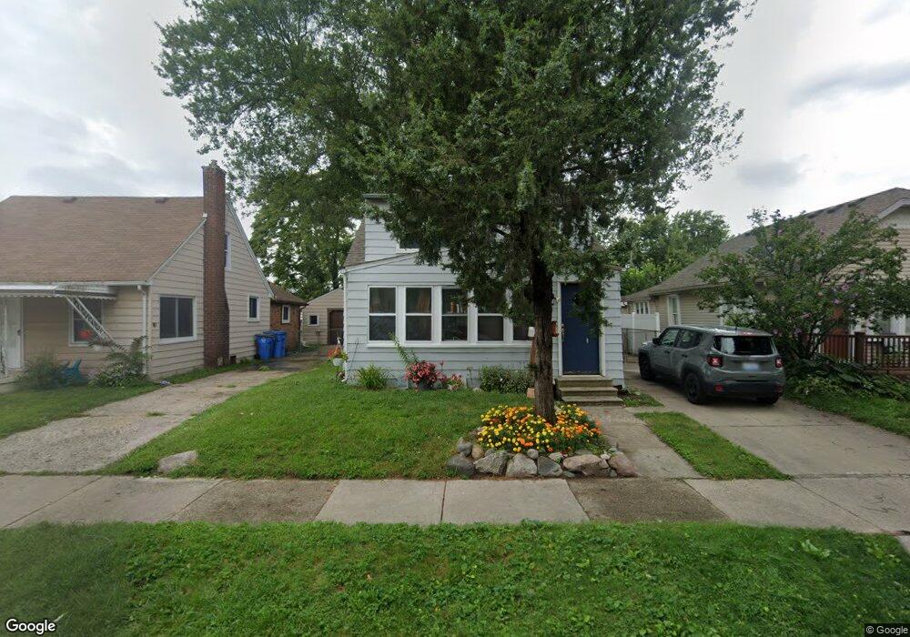
5712 Cornell St Dearborn Heights, MI 48125
Estimated Value: $167,110 - $179,000
--
Bed
1
Bath
1,032
Sq Ft
$170/Sq Ft
Est. Value
About This Home
This home is located at 5712 Cornell St, Dearborn Heights, MI 48125 and is currently estimated at $175,528, approximately $170 per square foot. 5712 Cornell St is a home located in Wayne County with nearby schools including Polk Elementary School, Bedford School, and Pardee School.
Ownership History
Date
Name
Owned For
Owner Type
Purchase Details
Closed on
Nov 2, 2006
Sold by
Nations Finance Corp
Bought by
Horton Stacy L
Current Estimated Value
Purchase Details
Closed on
May 20, 2003
Sold by
Compton Paul
Bought by
Nations Finance Corp
Purchase Details
Closed on
May 16, 2001
Sold by
Compton Sheila M
Bought by
Mccowin Sheila M
Purchase Details
Closed on
May 7, 2001
Sold by
Delucia Nicole D
Bought by
Mccowin Sheila
Create a Home Valuation Report for This Property
The Home Valuation Report is an in-depth analysis detailing your home's value as well as a comparison with similar homes in the area
Home Values in the Area
Average Home Value in this Area
Purchase History
| Date | Buyer | Sale Price | Title Company |
|---|---|---|---|
| Horton Stacy L | $115,000 | Metro Title Corp | |
| Nations Finance Corp | $48,000 | -- | |
| Mccowin Sheila M | -- | -- | |
| Mccowin Sheila | -- | -- |
Source: Public Records
Mortgage History
| Date | Status | Borrower | Loan Amount |
|---|---|---|---|
| Closed | Mccowin Sheila M | -- |
Source: Public Records
Tax History Compared to Growth
Tax History
| Year | Tax Paid | Tax Assessment Tax Assessment Total Assessment is a certain percentage of the fair market value that is determined by local assessors to be the total taxable value of land and additions on the property. | Land | Improvement |
|---|---|---|---|---|
| 2025 | $2,319 | $71,300 | $0 | $0 |
| 2024 | $2,319 | $64,900 | $0 | $0 |
| 2023 | $2,459 | $56,100 | $0 | $0 |
| 2022 | $1,487 | $48,700 | $0 | $0 |
| 2021 | $2,548 | $43,700 | $0 | $0 |
| 2019 | $2,490 | $35,800 | $0 | $0 |
| 2018 | $2,299 | $30,700 | $0 | $0 |
| 2017 | $873 | $28,100 | $0 | $0 |
| 2016 | $1,375 | $26,500 | $0 | $0 |
| 2015 | $2,459 | $24,700 | $0 | $0 |
| 2013 | $2,520 | $26,200 | $0 | $0 |
| 2010 | -- | $32,100 | $0 | $0 |
Source: Public Records
Map
Nearby Homes
- 5689 Cornell St
- 5671 Syracuse St
- 24035 Currier St
- 5908 Pine St
- 4901 Cornell St
- 5954 Pine St
- 24117 Eton Ave
- 4665 Syracuse St
- 24360 Pennie St
- 24339 Eton Ave
- 23214 S Brookside Dr
- 24443 Powers Ave
- 4506 Syracuse St
- 4489 Westpoint St
- 4474 Syracuse St
- 4449 Academy St
- 4193 Cornell St
- 000 Hanover St
- 22453 Pardee Ct
- 6430 Banner St
- 5704 Cornell St
- 5720 Cornell St
- 5690 Cornell St
- 5728 Cornell St
- 5674 Cornell St
- 5667 Westpoint St
- 5677 Westpoint St Unit Bldg-Unit
- 5677 Westpoint St
- 5659 Westpoint St
- 5711 Cornell St Unit Bldg-Unit
- 5711 Cornell St
- 5703 Cornell St
- 5658 Cornell St
- 5719 Cornell St
- 5685 Westpoint St
- 5727 Cornell St
- 5643 Westpoint St
- 5673 Cornell St
- 23804 van Born Rd
- 5635 Westpoint St