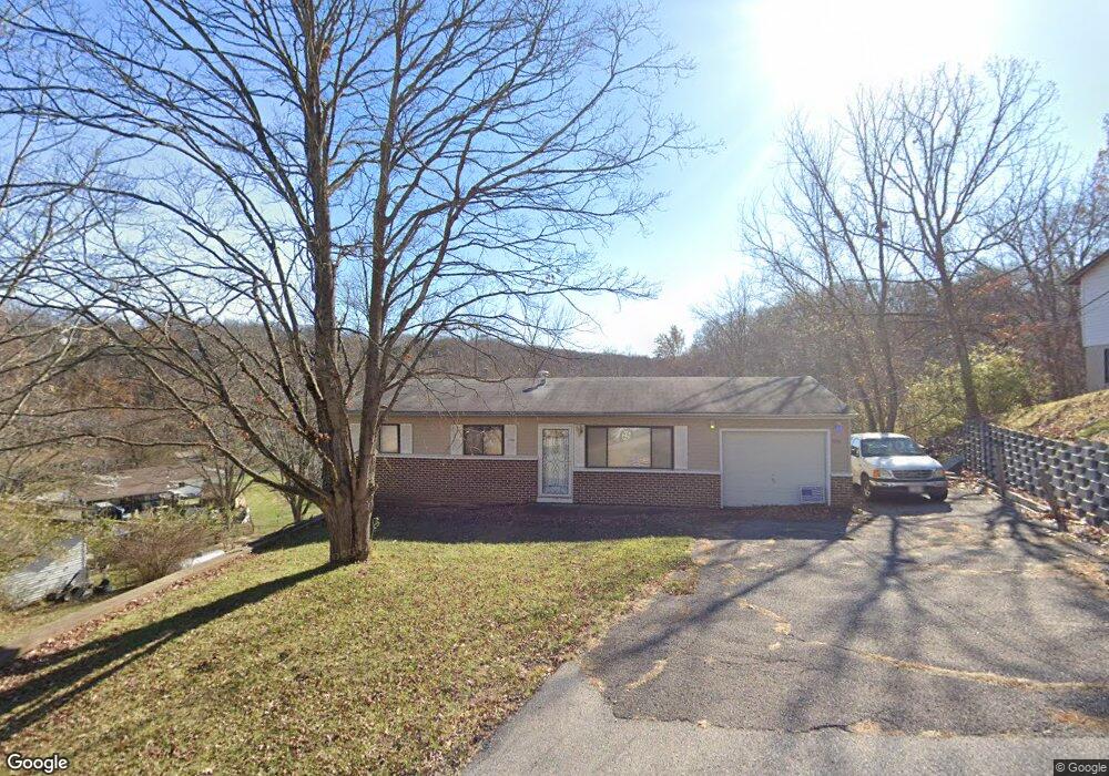
5712 Keith Dr High Ridge, MO 63049
Estimated Value: $172,000 - $205,179
3
Beds
1
Bath
864
Sq Ft
$222/Sq Ft
Est. Value
About This Home
This home is located at 5712 Keith Dr, High Ridge, MO 63049 and is currently estimated at $191,545, approximately $221 per square foot. 5712 Keith Dr is a home located in Jefferson County with nearby schools including Northwest High School and St. Anthony School.
Ownership History
Date
Name
Owned For
Owner Type
Purchase Details
Closed on
Dec 2, 2011
Sold by
Federal Home Loan Mortgage Corporation
Bought by
Crowley Patrick
Current Estimated Value
Purchase Details
Closed on
Oct 13, 2011
Sold by
Bono Eddie and Bono Angela
Bought by
Federal Home Loan Mortgage Corporation
Purchase Details
Closed on
Jul 26, 2002
Sold by
Lunsford Martha L
Bought by
Bono Eddie and Braasch Angela
Home Financials for this Owner
Home Financials are based on the most recent Mortgage that was taken out on this home.
Original Mortgage
$97,975
Interest Rate
6.62%
Mortgage Type
FHA
Create a Home Valuation Report for This Property
The Home Valuation Report is an in-depth analysis detailing your home's value as well as a comparison with similar homes in the area
Home Values in the Area
Average Home Value in this Area
Purchase History
| Date | Buyer | Sale Price | Title Company |
|---|---|---|---|
| Crowley Patrick | -- | Continental Title Company | |
| Federal Home Loan Mortgage Corporation | $44,000 | None Available | |
| Bono Eddie | -- | First American Title |
Source: Public Records
Mortgage History
| Date | Status | Borrower | Loan Amount |
|---|---|---|---|
| Previous Owner | Bono Eddie | $97,975 |
Source: Public Records
Tax History
| Year | Tax Paid | Tax Assessment Tax Assessment Total Assessment is a certain percentage of the fair market value that is determined by local assessors to be the total taxable value of land and additions on the property. | Land | Improvement |
|---|---|---|---|---|
| 2025 | $1,011 | $15,200 | $1,500 | $13,700 |
| 2024 | $1,011 | $14,000 | $1,500 | $12,500 |
| 2023 | $1,011 | $14,000 | $1,500 | $12,500 |
| 2022 | $1,006 | $14,000 | $1,500 | $12,500 |
| 2021 | $1,000 | $14,000 | $1,500 | $12,500 |
| 2020 | $915 | $12,500 | $1,200 | $11,300 |
| 2019 | $914 | $12,500 | $1,200 | $11,300 |
| 2018 | $926 | $12,500 | $1,200 | $11,300 |
| 2017 | $846 | $12,500 | $1,200 | $11,300 |
| 2016 | $785 | $11,500 | $1,300 | $10,200 |
Source: Public Records
Map
Nearby Homes
- 2135 Linnus Dr
- 2149 Linnus Dr
- 2233 Appaloosa Trail
- 2200 Dillon Rd
- 0 3 Lot Blk 2 High Ridge Manor Unit MAR24044893
- 2408 Williams Creek Rd
- 2060 Hillsboro Valley Park Rd
- 147 Brandy Mill Cir Unit B
- 151 Brandy Mill Cir Unit F
- 104 Brandy Mill Cir Unit A
- 2108 Hillsboro Valley Park Rd
- 2549 Plymouth Dr
- 2540 Plymouth Dr
- 2628 Hillsboro Valley Park Rd
- 0 Mikel Ln
- 2714 Royal Oak Dr
- 1616 Creightonwood Ct
- 1599 Paradise Valley Dr
- TBD State Route 30
- 1635 Rockfern Dr
Your Personal Tour Guide
Ask me questions while you tour the home.