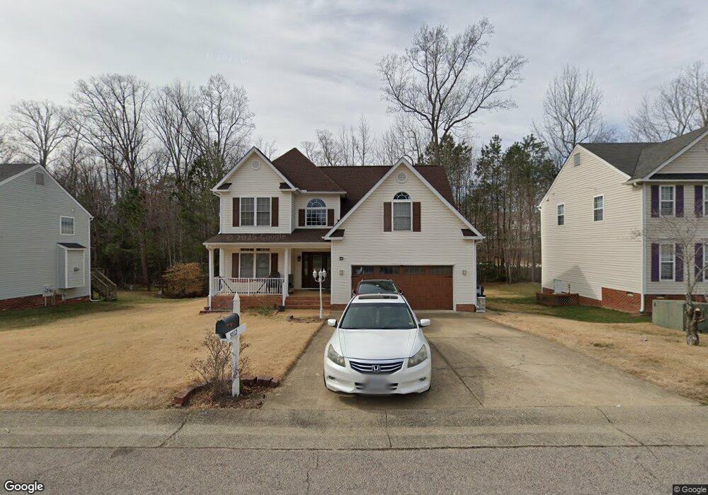
5712 Stockport Place Chesterfield, VA 23832
Estimated Value: $435,000 - $461,000
5
Beds
3
Baths
2,584
Sq Ft
$172/Sq Ft
Est. Value
About This Home
This home is located at 5712 Stockport Place, Chesterfield, VA 23832 and is currently estimated at $445,123, approximately $172 per square foot. 5712 Stockport Place is a home located in Chesterfield County with nearby schools including Thelma Crenshaw Elementary School, Bailey Bridge Middle School, and Manchester High.
Ownership History
Date
Name
Owned For
Owner Type
Purchase Details
Closed on
Oct 4, 2004
Sold by
Berger Construction Co
Bought by
Kong Chhing and Kong Phung,Sopheap
Current Estimated Value
Home Financials for this Owner
Home Financials are based on the most recent Mortgage that was taken out on this home.
Original Mortgage
$140,000
Outstanding Balance
$69,660
Interest Rate
5.84%
Mortgage Type
New Conventional
Estimated Equity
$375,463
Create a Home Valuation Report for This Property
The Home Valuation Report is an in-depth analysis detailing your home's value as well as a comparison with similar homes in the area
Home Values in the Area
Average Home Value in this Area
Purchase History
| Date | Buyer | Sale Price | Title Company |
|---|---|---|---|
| Kong Chhing | $220,850 | -- |
Source: Public Records
Mortgage History
| Date | Status | Borrower | Loan Amount |
|---|---|---|---|
| Open | Kong Chhing | $140,000 |
Source: Public Records
Tax History Compared to Growth
Tax History
| Year | Tax Paid | Tax Assessment Tax Assessment Total Assessment is a certain percentage of the fair market value that is determined by local assessors to be the total taxable value of land and additions on the property. | Land | Improvement |
|---|---|---|---|---|
| 2025 | $3,833 | $427,900 | $72,000 | $355,900 |
| 2024 | $3,833 | $420,000 | $70,000 | $350,000 |
| 2023 | $3,506 | $385,300 | $65,000 | $320,300 |
| 2022 | $3,260 | $354,300 | $63,000 | $291,300 |
| 2021 | $3,095 | $318,800 | $61,000 | $257,800 |
| 2020 | $2,890 | $304,200 | $61,000 | $243,200 |
| 2019 | $2,759 | $290,400 | $61,000 | $229,400 |
| 2018 | $2,673 | $281,400 | $61,000 | $220,400 |
| 2017 | $2,526 | $263,100 | $60,000 | $203,100 |
| 2016 | $2,473 | $257,600 | $60,000 | $197,600 |
| 2015 | $2,360 | $243,200 | $60,000 | $183,200 |
| 2014 | $2,312 | $238,200 | $60,000 | $178,200 |
Source: Public Records
Map
Nearby Homes
- 5618 Burnage Ct
- 5731 Hereld Green Dr
- 10524 Sunne Ct
- 5430 Solaris Dr
- 5412 Qualla Trace Ln
- 5406 Qualla Trace Ln
- 5402 Qualla Trace Terrace
- 5400 Qualla Trace Ln
- 10709 Solaris Ct
- 5407 Qualla Trace Ln
- Maxwell Plan at Qualla Trace - Smart Living
- Newton Plan at Qualla Trace - Smart Living
- Edison Plan at Qualla Trace - Smart Living
- King Plan at Qualla Trace - Smart Living
- Curie Plan at Qualla Trace - Smart Living
- 10508 Rollingway Ct
- 5213 Oakforest Dr
- 5124 Rollingway Rd
- 10718 Genlou Rd
- 5211 Alberta Rd
- 5718 Stockport Place
- 5700 Stockport Place
- 5724 Stockport Place
- 5713 Stockport Place
- 5719 Stockport Place
- 5707 Stockport Place
- 5725 Stockport Place
- 5642 Charter Oak Dr
- 5730 Stockport Place
- 9707 Qualla Farms Terrace
- 5701 Stockport Place
- 9600 Qualla Farms Terrace
- 5731 Stockport Place
- 5854 Hereld Green Dr
- 9713 Qualla Farms Terrace
- 5848 Hereld Green Dr
- 5708 Stockport Ct
- 5860 Hereld Green Dr
- 9701 Qualla Farms Terrace
- 5714 Stockport Ct