5712 W Ardea Ln Spokane, WA 99208
Dartford NeighborhoodEstimated Value: $1,555,000 - $1,631,489
5
Beds
5
Baths
6,206
Sq Ft
$257/Sq Ft
Est. Value
About This Home
This home is located at 5712 W Ardea Ln, Spokane, WA 99208 and is currently estimated at $1,594,163, approximately $256 per square foot. 5712 W Ardea Ln is a home located in Spokane County with nearby schools including Evergreen Elementary School, Northwood Middle School, and Mead Senior High School.
Ownership History
Date
Name
Owned For
Owner Type
Purchase Details
Closed on
Mar 10, 2011
Sold by
Kadel Susan J
Bought by
Virk Navdeep S and Virk Babli K
Current Estimated Value
Home Financials for this Owner
Home Financials are based on the most recent Mortgage that was taken out on this home.
Original Mortgage
$417,000
Outstanding Balance
$285,980
Interest Rate
4.75%
Mortgage Type
New Conventional
Estimated Equity
$1,308,183
Create a Home Valuation Report for This Property
The Home Valuation Report is an in-depth analysis detailing your home's value as well as a comparison with similar homes in the area
Home Values in the Area
Average Home Value in this Area
Purchase History
| Date | Buyer | Sale Price | Title Company |
|---|---|---|---|
| Virk Navdeep S | $655,280 | Spokane County Title Co |
Source: Public Records
Mortgage History
| Date | Status | Borrower | Loan Amount |
|---|---|---|---|
| Open | Virk Navdeep S | $417,000 |
Source: Public Records
Tax History Compared to Growth
Tax History
| Year | Tax Paid | Tax Assessment Tax Assessment Total Assessment is a certain percentage of the fair market value that is determined by local assessors to be the total taxable value of land and additions on the property. | Land | Improvement |
|---|---|---|---|---|
| 2025 | $14,631 | $1,417,000 | $228,700 | $1,188,300 |
| 2024 | $14,631 | $1,438,750 | $213,050 | $1,225,700 |
| 2023 | $13,513 | $1,465,220 | $232,420 | $1,232,800 |
| 2022 | $12,241 | $1,465,220 | $232,420 | $1,232,800 |
| 2021 | $9,637 | $840,540 | $151,840 | $688,700 |
| 2020 | $8,875 | $737,640 | $145,840 | $591,800 |
| 2019 | $8,232 | $691,840 | $139,840 | $552,000 |
| 2018 | $9,438 | $676,640 | $130,240 | $546,400 |
| 2017 | $9,009 | $649,040 | $130,240 | $518,800 |
| 2016 | $8,782 | $615,240 | $130,240 | $485,000 |
| 2015 | $8,125 | $582,300 | $127,300 | $455,000 |
| 2014 | -- | $610,300 | $127,300 | $483,000 |
| 2013 | -- | $0 | $0 | $0 |
Source: Public Records
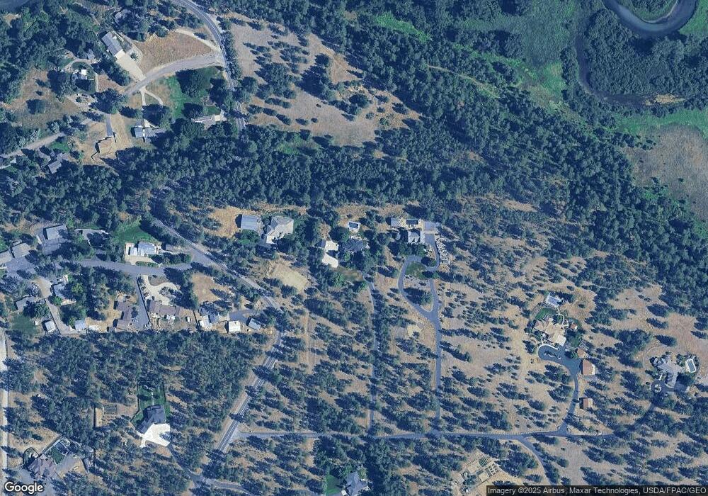
Map
Nearby Homes
- 13903 N Riverbluff Ln
- 4311 W Center Ln
- 13601 N Riverbluff Ln
- 13604 N Riverbluff Ln
- 14107 N Boulder Park Ln
- XX Regina Ln
- Ln
- 14924 N Cliff Ln Unit Site 128
- 13606 N Riverbluff Ln
- NKA N Cliff Ln Unit 27345.9137
- NKA N Cliff Ln Unit 27344.9136
- 10706 N Mystic Ct
- 14812 Cliff Ln Unit Site 130
- 4574 W Brookfield Ave
- 4550 W Brookfield Ave
- 4562 W Brookfield Ave
- 10710 N Clallam Ct
- 10840 N Paiute St
- 10514 N Arrowhead Dr
- 10820 N Paiute St
- 5704 W Ardea Ln
- 5905 W Rutter Pkwy
- 5902 W Rutter Pkwy
- 5905 W Vale Ln
- 50XX W Rutter Pkwy
- 0000 W Rutter Pkwy
- 91XX W Rutter Pkwy
- 00 W Rutter Pkwy
- 00 W Rutter Parkway Rd
- 0000 Rutter Pkwy
- 6104 W Rutter Pkwy
- 6100 W Rutter Pkwy
- 6102 W Rutter Pkwy
- 9000 W Rutter Pkwy
- - W Rutter Pkwy
- 0 W Rutter Pkwy
- 0 W Rutter Pkwy
- O W Rutter Pkwy
- CLA W Rutter Pkwy
- NHN W Rutter Pkwy