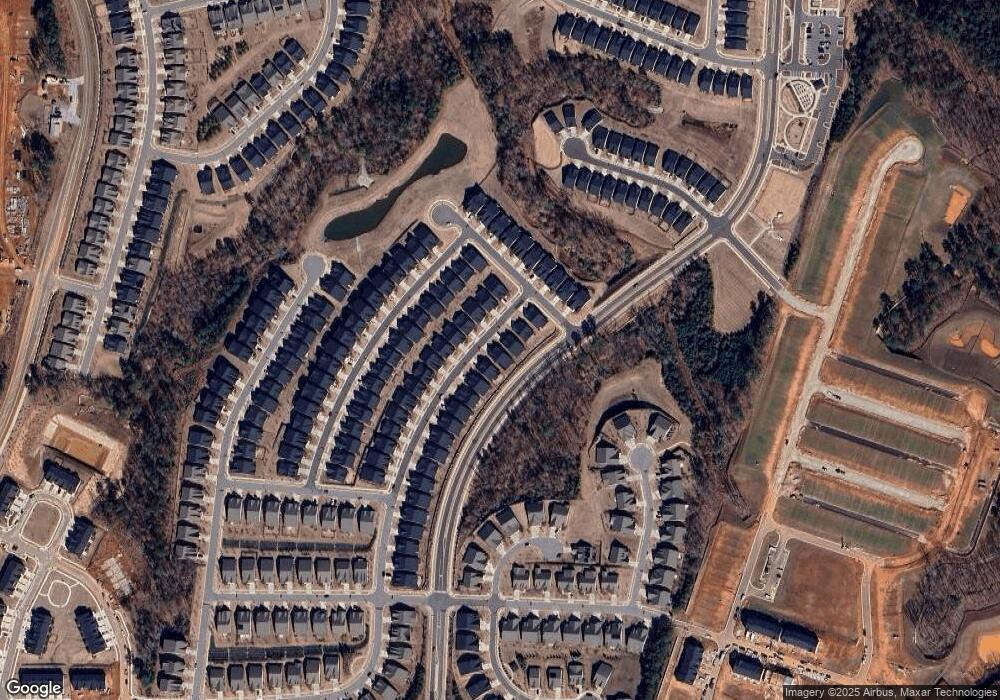
5713 Leesville Rd Durham, NC 27703
Eastern Durham NeighborhoodEstimated Value: $421,000 - $774,000
3
Beds
3
Baths
1,517
Sq Ft
$342/Sq Ft
Est. Value
About This Home
This home is located at 5713 Leesville Rd, Durham, NC 27703 and is currently estimated at $519,296, approximately $342 per square foot. 5713 Leesville Rd is a home located in Durham County with nearby schools including Spring Valley Elementary School, John W Neal Middle School, and Southern School of Energy & Sustainability.
Ownership History
Date
Name
Owned For
Owner Type
Purchase Details
Closed on
Sep 6, 2017
Sold by
Ricks Richard C and Ricks Janice
Bought by
Mills Beverly Kaye
Current Estimated Value
Home Financials for this Owner
Home Financials are based on the most recent Mortgage that was taken out on this home.
Original Mortgage
$129,144
Outstanding Balance
$111,010
Interest Rate
3.9%
Mortgage Type
USDA
Estimated Equity
$408,286
Purchase Details
Closed on
Jan 12, 2017
Sold by
Ross Alice W
Bought by
Mills Beverly K
Purchase Details
Closed on
Jan 11, 2017
Sold by
Mills Beverly Kaye
Bought by
Ricks Richard C
Purchase Details
Closed on
May 19, 2016
Sold by
Ross Samuel B
Bought by
Ross Alice W
Purchase Details
Closed on
Oct 22, 2009
Sold by
Ross Susan A
Bought by
Ross Samuel B and Ross Alice W
Create a Home Valuation Report for This Property
The Home Valuation Report is an in-depth analysis detailing your home's value as well as a comparison with similar homes in the area
Home Values in the Area
Average Home Value in this Area
Purchase History
| Date | Buyer | Sale Price | Title Company |
|---|---|---|---|
| Mills Beverly Kaye | $50,000 | None Available | |
| Mills Beverly K | -- | -- | |
| Ricks Richard C | -- | -- | |
| Ross Alice W | -- | -- | |
| Ross Samuel B | -- | None Available |
Source: Public Records
Mortgage History
| Date | Status | Borrower | Loan Amount |
|---|---|---|---|
| Open | Mills Beverly Kaye | $129,144 |
Source: Public Records
Tax History Compared to Growth
Tax History
| Year | Tax Paid | Tax Assessment Tax Assessment Total Assessment is a certain percentage of the fair market value that is determined by local assessors to be the total taxable value of land and additions on the property. | Land | Improvement |
|---|---|---|---|---|
| 2025 | $1,648 | $476,013 | $173,250 | $302,763 |
| 2024 | $1,333 | $242,002 | $98,725 | $143,277 |
| 2023 | $1,287 | $242,002 | $98,725 | $143,277 |
| 2022 | $1,250 | $242,002 | $98,725 | $143,277 |
| 2021 | $821 | $187,124 | $43,847 | $143,277 |
| 2020 | $802 | $187,124 | $43,847 | $143,277 |
| 2019 | $371 | $43,847 | $43,847 | $0 |
| 2018 | $643 | $69,673 | $59,490 | $10,183 |
| 2017 | $622 | $69,673 | $59,490 | $10,183 |
| 2016 | $603 | $69,673 | $59,490 | $10,183 |
| 2015 | $486 | $37,627 | $33,361 | $4,266 |
| 2014 | $488 | $37,627 | $33,361 | $4,266 |
Source: Public Records
Map
Nearby Homes
- 920 Montague Ave
- 914 Montague Ave
- 912 Montague Ave
- 503 Brittany Ct
- 1132 Salford Ct
- 1132 Salford Ct Unit *Lot 146
- 110 Sailfish Ct
- 2000 Grimsby Ct Unit Lot 41
- 2000 Grimsby Ct
- 501 Brittany Ct
- Eno Plan at Tredenham
- Shepard Plan at Tredenham
- Bartlett Plan at Tredenham
- 1136 Salford Ct Unit *Lot 147
- 1136 Salford Ct
- 702 Blackpool Dr
- 704 Blackpool Dr
- 710 Blackpool Dr
- 712 Blackpool Dr
- 1116 Salford Ct Unit *Lot 142
- 107 Kalmia Dr
- 1012 Montague Ave
- 109 Kalmia Dr Unit CA LOT 898
- 111 Kalmia Dr Unit CA LOT 897
- 201 Kalmia Dr Unit CA LOT 896
- 1100 Montague Ave
- 1003 Ballerina Ln
- 203 Kalmia Dr
- 1102 Montague Ave
- 906 Montague Ave
- 205 Kalmia Dr
- 207 Kalmia Dr
- 1005 Ballerina Ln
- 209 Kalmia Dr
- 106 Kalmia Dr Unit CA LOT 901
- 1104 Montague Ave
- 110 Kalmia Dr
- 108 Kalmia Dr
- 1007 Ballerina Ln
- 104 Kalmia Dr
