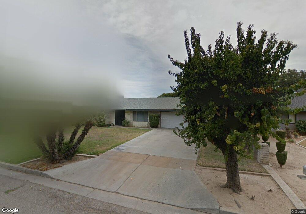
5718 E Byrd Ave Fresno, CA 93727
Sunnyside NeighborhoodEstimated Value: $472,000 - $516,000
4
Beds
2
Baths
2,313
Sq Ft
$213/Sq Ft
Est. Value
About This Home
This home is located at 5718 E Byrd Ave, Fresno, CA 93727 and is currently estimated at $491,559, approximately $212 per square foot. 5718 E Byrd Ave is a home located in Fresno County with nearby schools including Lone Star Elementary School, Washington Academic Middle School, and Sanger High School.
Ownership History
Date
Name
Owned For
Owner Type
Purchase Details
Closed on
Jun 14, 1996
Sold by
Perez Homer L and Chapa Belinda
Bought by
Perez Homer L and Perez Belinda C
Current Estimated Value
Purchase Details
Closed on
Aug 1, 1994
Sold by
Green Harold Dale and Green Jacquelyn E
Bought by
Perez Homer L and Chapa Belinda
Home Financials for this Owner
Home Financials are based on the most recent Mortgage that was taken out on this home.
Original Mortgage
$114,900
Interest Rate
8.37%
Create a Home Valuation Report for This Property
The Home Valuation Report is an in-depth analysis detailing your home's value as well as a comparison with similar homes in the area
Home Values in the Area
Average Home Value in this Area
Purchase History
| Date | Buyer | Sale Price | Title Company |
|---|---|---|---|
| Perez Homer L | -- | -- | |
| Perez Homer L | $121,000 | Central Title Company |
Source: Public Records
Mortgage History
| Date | Status | Borrower | Loan Amount |
|---|---|---|---|
| Closed | Perez Homer L | $114,900 |
Source: Public Records
Tax History
| Year | Tax Paid | Tax Assessment Tax Assessment Total Assessment is a certain percentage of the fair market value that is determined by local assessors to be the total taxable value of land and additions on the property. | Land | Improvement |
|---|---|---|---|---|
| 2025 | $2,577 | $203,203 | $58,765 | $144,438 |
| 2023 | $2,413 | $195,314 | $56,484 | $138,830 |
| 2022 | $2,376 | $191,485 | $55,377 | $136,108 |
| 2021 | $2,357 | $187,732 | $54,292 | $133,440 |
| 2020 | $2,288 | $185,808 | $53,736 | $132,072 |
| 2019 | $2,242 | $182,166 | $52,683 | $129,483 |
| 2018 | $2,148 | $178,595 | $51,650 | $126,945 |
| 2017 | $2,112 | $175,094 | $50,638 | $124,456 |
| 2016 | $1,984 | $171,662 | $49,646 | $122,016 |
| 2015 | $2,001 | $169,085 | $48,901 | $120,184 |
| 2014 | $1,974 | $165,774 | $47,944 | $117,830 |
Source: Public Records
Map
Nearby Homes
- 5718 E Burns Ave
- 2446 S Claremont Ave
- 2423 S Sabre Ave
- 5588 E Pitt Ave
- 2409 S Bundy Dr
- 2360 S Playa Ave
- 5875 E Pitt Ave
- 5823 E Pitt Ave
- 5447 E Burns Ave
- 5952 E Truman Ave
- 5586 E Atchison St
- 5260 E Tower Ave
- 5256 E Tower Ave
- 5986 E Pitt Ave
- 5391 E Burns Ave
- 6136 E Church Ave
- 2555 S Lind Ave
- 5368 E Tower Ave
- 5890 E Dwight Way
- 2004 S Renn Ave
- 5712 E Byrd Ave
- 5719 E Kaviland Ave
- 5727 E Kaviland Ave
- 5713 E Kaviland Ave
- 2533 S Phillip Ave
- 5717 E Byrd Ave
- 2543 S Phillip Ave
- 5709 E Byrd Ave
- 5739 E Kaviland Ave
- 5720 E Kaviland Ave
- 5730 E Kaviland Ave
- 5714 E Kaviland Ave
- 5692 E Byrd Ave
- 5691 E Kaviland Ave
- 2551 S Phillip Ave
- 2521 S Larkin Ave
- 2517 S Larkin Ave
- 2536 S Argyle Ave
- 2530 S Argyle Ave
- 2542 S Argyle Ave
Your Personal Tour Guide
Ask me questions while you tour the home.