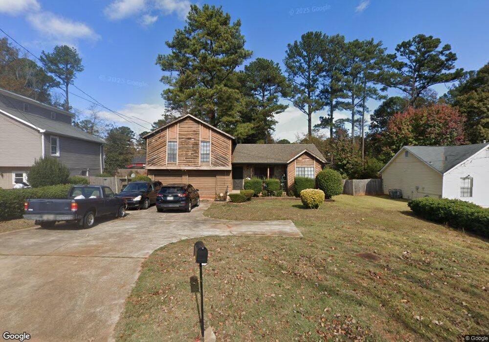
5718 Phillips Dr Unit 1 Morrow, GA 30260
Estimated Value: $194,008 - $231,000
3
Beds
2
Baths
1,244
Sq Ft
$171/Sq Ft
Est. Value
About This Home
This home is located at 5718 Phillips Dr Unit 1, Morrow, GA 30260 and is currently estimated at $213,252, approximately $171 per square foot. 5718 Phillips Dr Unit 1 is a home located in Clayton County with nearby schools including Lake City Elementary School, Babb Middle School, and Forest Park High School.
Ownership History
Date
Name
Owned For
Owner Type
Purchase Details
Closed on
Sep 26, 1997
Sold by
Elliott Marie L
Bought by
Howell Deltora S
Current Estimated Value
Home Financials for this Owner
Home Financials are based on the most recent Mortgage that was taken out on this home.
Original Mortgage
$74,949
Outstanding Balance
$10,836
Interest Rate
7.6%
Mortgage Type
FHA
Estimated Equity
$202,416
Create a Home Valuation Report for This Property
The Home Valuation Report is an in-depth analysis detailing your home's value as well as a comparison with similar homes in the area
Home Values in the Area
Average Home Value in this Area
Purchase History
| Date | Buyer | Sale Price | Title Company |
|---|---|---|---|
| Howell Deltora S | $74,900 | -- |
Source: Public Records
Mortgage History
| Date | Status | Borrower | Loan Amount |
|---|---|---|---|
| Open | Howell Deltora S | $74,949 |
Source: Public Records
Tax History
| Year | Tax Paid | Tax Assessment Tax Assessment Total Assessment is a certain percentage of the fair market value that is determined by local assessors to be the total taxable value of land and additions on the property. | Land | Improvement |
|---|---|---|---|---|
| 2025 | $1,435 | $86,720 | $7,200 | $79,520 |
| 2024 | $1,380 | $81,080 | $7,200 | $73,880 |
| 2023 | $2,627 | $72,760 | $7,200 | $65,560 |
| 2022 | $802 | $51,680 | $7,200 | $44,480 |
| 2021 | $621 | $41,840 | $7,200 | $34,640 |
| 2020 | $318 | $25,920 | $4,800 | $21,120 |
| 2019 | $328 | $25,920 | $4,800 | $21,120 |
| 2018 | $328 | $25,920 | $4,800 | $21,120 |
| 2017 | $279 | $22,917 | $4,800 | $18,117 |
| 2016 | $276 | $22,780 | $4,800 | $17,980 |
| 2015 | $238 | $0 | $0 | $0 |
| 2014 | $294 | $17,367 | $5,600 | $11,767 |
Source: Public Records
Map
Nearby Homes
- 1058 Phillips Cir
- 5647 Highland St
- 965 Cone Rd
- 1124 Ponderosa Park Dr
- 5489 Ahyoka Dr
- 1241 Tsali Trail
- 1140 Foxcroft Dr
- 5535 Cypress Dr
- 913 Longleaf Dr
- 5570 Ash St
- 6052 Pinecreek Rd
- 927 Slash Pine Rd
- 6057 Pinecreek Rd
- 740 Patricia Dr
- 0 Ash St Unit 10563129
- 5729 Jefferson Ave
- 6112 Lynwood Dr
- 655 Shellnut Dr Unit 2
- 1077 Helen St
- 5316 Ash St
- 5722 Phillips Dr
- 5728 Phillips Dr
- 5708 Phillips Dr
- 5679 Pine Meadows Ct
- 5675 Pine Meadows Ct Unit III
- 5671 Pine Meadows Ct
- 5752 Pearson Place
- 5732 Phillips Dr
- 5753 Pearson Place
- 5725 Phillips Dr
- 5704 Phillips Dr
- 5667 Pine Meadows Ct Unit III
- 5683 Pine Meadows Ct Unit III
- 1174 Pine Mountain Dr
- 5760 Pearson Place
- 5761 Pearson Place Unit 1
- 5761 Pearson Place
- 5687 Pine Meadows Ct
- 5694 Phillips Dr
- 5661 Pine Meadows Ct Unit 3
Your Personal Tour Guide
Ask me questions while you tour the home.