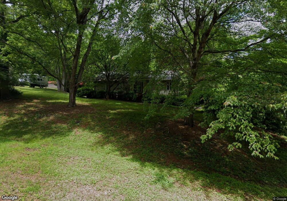
5718 Polaris Ct Pfafftown, NC 27040
Estimated Value: $281,000 - $313,370
3
Beds
2
Baths
1,630
Sq Ft
$184/Sq Ft
Est. Value
About This Home
This home is located at 5718 Polaris Ct, Pfafftown, NC 27040 and is currently estimated at $300,343, approximately $184 per square foot. 5718 Polaris Ct is a home located in Forsyth County with nearby schools including Old Richmond Elementary School, Northwest Middle, and North Forsyth High.
Ownership History
Date
Name
Owned For
Owner Type
Purchase Details
Closed on
Jan 2, 2008
Sold by
Mitchell Marvin D and Mitchell Barbara J
Bought by
Mitchell Marvin D and Mitchell Barbara J
Current Estimated Value
Purchase Details
Closed on
Jul 12, 2005
Sold by
Spedden Kevin Grant and Torella Spedden Bonnie M
Bought by
Mitchell Marvin D and Mitchell Barbara J
Home Financials for this Owner
Home Financials are based on the most recent Mortgage that was taken out on this home.
Original Mortgage
$145,255
Outstanding Balance
$86,939
Interest Rate
8.12%
Mortgage Type
Fannie Mae Freddie Mac
Estimated Equity
$213,404
Create a Home Valuation Report for This Property
The Home Valuation Report is an in-depth analysis detailing your home's value as well as a comparison with similar homes in the area
Home Values in the Area
Average Home Value in this Area
Purchase History
| Date | Buyer | Sale Price | Title Company |
|---|---|---|---|
| Mitchell Marvin D | -- | None Available | |
| Mitchell Marvin D | $153,000 | -- |
Source: Public Records
Mortgage History
| Date | Status | Borrower | Loan Amount |
|---|---|---|---|
| Open | Mitchell Marvin D | $145,255 |
Source: Public Records
Tax History Compared to Growth
Tax History
| Year | Tax Paid | Tax Assessment Tax Assessment Total Assessment is a certain percentage of the fair market value that is determined by local assessors to be the total taxable value of land and additions on the property. | Land | Improvement |
|---|---|---|---|---|
| 2025 | $2,396 | $298,600 | $55,000 | $243,600 |
| 2024 | $2,287 | $170,800 | $33,700 | $137,100 |
| 2023 | $2,287 | $170,800 | $33,700 | $137,100 |
| 2022 | $2,244 | $170,800 | $33,700 | $137,100 |
| 2021 | $2,204 | $170,800 | $33,700 | $137,100 |
| 2020 | $2,103 | $152,300 | $24,200 | $128,100 |
| 2019 | $2,118 | $152,300 | $24,200 | $128,100 |
| 2018 | $2,012 | $152,300 | $24,200 | $128,100 |
| 2016 | $1,994 | $151,530 | $21,708 | $129,822 |
| 2015 | $1,963 | $151,530 | $21,708 | $129,822 |
| 2014 | $1,904 | $151,530 | $21,708 | $129,822 |
Source: Public Records
Map
Nearby Homes
- 178 Bethania Oaks Cir
- 1841 Turfwood Dr
- 110 Town Lot Dr
- 1808 Turfwood Dr
- 1920 Echo Trail
- 5620 Main St
- 1625 Eagle Crest Dr
- 5811 Meadow Ln
- 6436 Beaver Pond Ct
- Portion of 1790 Mallard Lakes Dr
- 1820 Bethania-Rural Hall Rd
- 1818 Bethania-Rural Hall Rd
- 5515 Bethania Rd
- 1542 Finwick Dr
- 5762 Beaver Pond Trail
- 1534 Finwick Dr
- 5887 Odenton Ln
- 5755 Reynolda Rd
- 1466 Crestlawn Trail
- 4832 Old Towne Village Cir
- 5712 Polaris Ct
- 5724 Polaris Ct
- 11 Polaris Ct
- 5726 Polaris Ct
- 5716 Polaris Rd
- 5720 Polaris Rd
- 5708 Polaris Rd
- 5732 Polaris Ct
- 5700 Polaris Rd
- 5737 Polaris Ct
- 3060 Loren Ln
- 3030 High Cliffs Rd
- 5715 Polaris Rd
- 5695 Sweetbriar Rd
- 5685 Sweetbriar Rd
- 5715 Sweetbriar Rd
- 5701 Polaris Rd
- 3055 Loren Ln
- 5675 Sweetbriar Rd
- 3056 High Cliffs Rd