57196 Douglas Way Scappoose, OR 97056
Estimated Value: $570,436 - $718,000
3
Beds
2
Baths
2,264
Sq Ft
$285/Sq Ft
Est. Value
About This Home
This home is located at 57196 Douglas Way, Scappoose, OR 97056 and is currently estimated at $644,218, approximately $284 per square foot. 57196 Douglas Way is a home located in Columbia County with nearby schools including Scappoose High School.
Ownership History
Date
Name
Owned For
Owner Type
Purchase Details
Closed on
Mar 29, 2022
Sold by
Connie R Speros-Literal Revocable Trust
Bought by
Bruce F Literal And Trust
Current Estimated Value
Purchase Details
Closed on
Nov 18, 2010
Sold by
Literal Bruce F and Literal Connie Speros
Bought by
Literal Bruce F and Literal Connie Speros
Home Financials for this Owner
Home Financials are based on the most recent Mortgage that was taken out on this home.
Original Mortgage
$115,000
Interest Rate
4.16%
Mortgage Type
New Conventional
Create a Home Valuation Report for This Property
The Home Valuation Report is an in-depth analysis detailing your home's value as well as a comparison with similar homes in the area
Home Values in the Area
Average Home Value in this Area
Purchase History
| Date | Buyer | Sale Price | Title Company |
|---|---|---|---|
| Bruce F Literal And Trust | $96,000 | Ticor Title | |
| Connie R Speros-Literal Revocable Trust | $96,000 | Ticor Title | |
| Literal Bruce F | -- | Accommodation | |
| Literal Bruce F | -- | First Amer Title Ins Co Or |
Source: Public Records
Mortgage History
| Date | Status | Borrower | Loan Amount |
|---|---|---|---|
| Previous Owner | Literal Bruce F | $115,000 |
Source: Public Records
Tax History Compared to Growth
Tax History
| Year | Tax Paid | Tax Assessment Tax Assessment Total Assessment is a certain percentage of the fair market value that is determined by local assessors to be the total taxable value of land and additions on the property. | Land | Improvement |
|---|---|---|---|---|
| 2025 | $4,687 | $348,169 | $99,939 | $248,230 |
| 2024 | $4,427 | $328,795 | $95,155 | $233,640 |
| 2023 | $4,407 | $319,223 | $83,103 | $236,120 |
| 2022 | $4,211 | $309,931 | $80,011 | $229,920 |
| 2021 | $4,093 | $300,910 | $72,700 | $228,210 |
| 2020 | $3,758 | $292,151 | $67,621 | $224,530 |
| 2019 | $3,665 | $283,642 | $64,882 | $218,760 |
| 2018 | $3,567 | $275,384 | $99,414 | $175,970 |
| 2017 | $3,515 | $267,367 | $96,517 | $170,850 |
| 2016 | $3,384 | $259,580 | $93,700 | $165,880 |
| 2015 | $3,194 | $251,955 | $87,915 | $164,040 |
| 2014 | $2,955 | $231,390 | $83,900 | $147,490 |
Source: Public Records
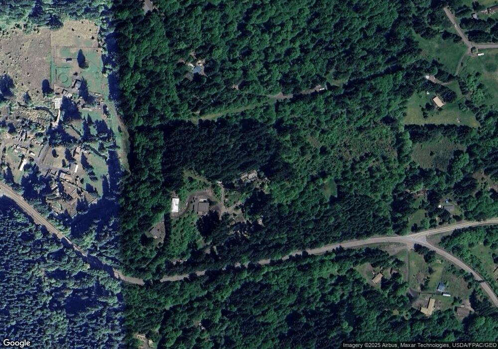
Map
Nearby Homes
- 30004 Scappoose Vernonia Hwy
- 28995 Scappoose Vernonia Hwy
- 57647 Cedar Springs Dr
- 57232 Cedar Creek Rd
- 55496 Pioneer Rd
- 31287 New Kirk Rd
- 31917 Brooks Rd
- 31444 New Kirk Rd
- 0 Viewcrest Dr Unit 24577481
- 32084 Brooks Rd
- 0 Armstrong Rd Unit 101 23014009
- 0 Parcel 1 Peter St St Unit 174014860
- 0 Peter St Unit 1S 480042051
- 32991 Rodney St
- 0 Reid Rd
- 32650 Oester Rd
- 32005 Scappoose Vernonia Hwy
- 0 Cater (East) Rd Unit 798882
- 00 Cater (East) Rd
- 0 Oester Rd
- 57124 Douglas Way
- 29900 Bolin Dr
- 29900 Bolin Dr
- 29900 Bolin Dr
- 29900 Bolin Dr
- 29661 Scappoose Vernonia Hwy
- 29776 Crown Zellerbach Rd
- 29996 Scappoose Vernonia Hwy
- 30001 Scappoose Vernonia Hwy
- 57218 Old Mill Rd
- 27250 Old Mill Rd
- 57387 Alder Creek Rd
- 30021 Cater Rd
- 57250 Old Mill Rd
- 57210 Old Mill Rd
- 57210 Old Mill Rd Unit 1
- 57210 Old Mill Rd Unit COMM
- 0 Old Mill Rd
- 29736 Crown Zellerbach Rd
- 29930 Bolin Dr