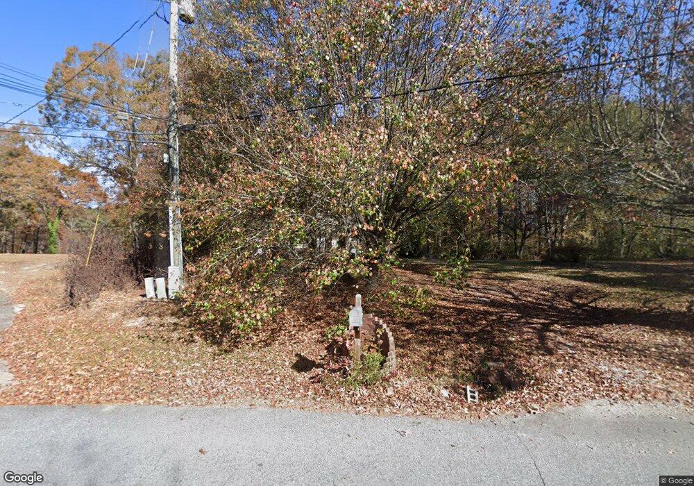
572 Allen Dr Lawrenceville, GA 30043
Estimated Value: $262,000 - $303,000
2
Beds
1
Bath
1,152
Sq Ft
$251/Sq Ft
Est. Value
About This Home
This home is located at 572 Allen Dr, Lawrenceville, GA 30043 and is currently estimated at $289,707, approximately $251 per square foot. 572 Allen Dr is a home located in Gwinnett County with nearby schools including Dyer Elementary School, Twin Rivers Middle School, and Mountain View High School.
Ownership History
Date
Name
Owned For
Owner Type
Purchase Details
Closed on
Nov 13, 2002
Sold by
Secretary and Hud
Bought by
Mize Angela L
Current Estimated Value
Home Financials for this Owner
Home Financials are based on the most recent Mortgage that was taken out on this home.
Original Mortgage
$88,200
Interest Rate
5.99%
Mortgage Type
New Conventional
Purchase Details
Closed on
May 7, 2002
Sold by
Chase Mtg Co-West
Bought by
Sec Of Hud
Purchase Details
Closed on
Dec 15, 1997
Sold by
Melendez Manuela and Melendez Jose A
Bought by
Utzman Michael L
Home Financials for this Owner
Home Financials are based on the most recent Mortgage that was taken out on this home.
Original Mortgage
$94,900
Interest Rate
7.23%
Mortgage Type
New Conventional
Create a Home Valuation Report for This Property
The Home Valuation Report is an in-depth analysis detailing your home's value as well as a comparison with similar homes in the area
Home Values in the Area
Average Home Value in this Area
Purchase History
| Date | Buyer | Sale Price | Title Company |
|---|---|---|---|
| Mize Angela L | -- | -- | |
| Sec Of Hud | -- | -- | |
| Chase Mtg Co-West | $113,423 | -- | |
| Utzman Michael L | $95,000 | -- |
Source: Public Records
Mortgage History
| Date | Status | Borrower | Loan Amount |
|---|---|---|---|
| Previous Owner | Mize Angela L | $88,200 | |
| Previous Owner | Utzman Michael L | $94,900 |
Source: Public Records
Tax History Compared to Growth
Tax History
| Year | Tax Paid | Tax Assessment Tax Assessment Total Assessment is a certain percentage of the fair market value that is determined by local assessors to be the total taxable value of land and additions on the property. | Land | Improvement |
|---|---|---|---|---|
| 2024 | $2,344 | $83,640 | $28,280 | $55,360 |
| 2023 | $2,344 | $80,440 | $28,280 | $52,160 |
| 2022 | $2,042 | $71,760 | $23,880 | $47,880 |
| 2021 | $1,890 | $63,120 | $16,280 | $46,840 |
| 2020 | $1,903 | $63,120 | $16,280 | $46,840 |
| 2019 | $1,870 | $63,120 | $16,280 | $46,840 |
| 2018 | $1,868 | $63,120 | $16,280 | $46,840 |
| 2016 | $1,646 | $51,760 | $15,120 | $36,640 |
| 2015 | $1,524 | $45,600 | $17,480 | $28,120 |
| 2014 | $1,529 | $45,600 | $17,480 | $28,120 |
Source: Public Records
Map
Nearby Homes
- 1148 Woodland Cir
- 951 Northside Dr
- 509 Woodland Ln
- 695 Sunstone Ln
- 693 Sunstone Ln
- 689 Sunstone Ln
- 687 Sunstone Ln
- 699 Sunstone Ln
- Brooks Plan at River Walk Place
- Bryson Plan at River Walk Place
- 664 Sunstone Ln
- 662 Sunstone Ln
- 660 Sunstone Ln
- 658 Sunstone Ln
- 1247 Sunny Lake Dr
- Lot 16 Coronada Dr
- Lot 17 Coronada Dr
- 531 Shyrewood Dr
- 926 Pinbrook Dr
- 739 Lauren Cir Unit 1
- 592 Allen Dr
- 582 Allen Dr
- 562 Allen Dr
- 575 Allen Dr
- 561 Allen Dr
- 557 Allen Dr
- 583 Allen Dr
- 556 Allen Dr
- 608 Braselton Hwy
- 555 Allen Dr
- 588 Braselton Hwy
- 598 Braselton Hwy
- 570 Braselton Hwy
- 542 Allen Dr
- 543 Allen Dr
- 560 Braselton Hwy
- 0 Allen Dr Unit 3286085
- 0 Allen Dr Unit 8954365
- 0 Allen Dr Unit 9001897
- 0 Allen Dr Unit 8524765
