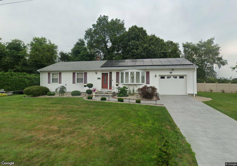
572 Bartlett St Acushnet, MA 02743
Coury Heights NeighborhoodEstimated Value: $387,000 - $498,000
3
Beds
1
Bath
864
Sq Ft
$520/Sq Ft
Est. Value
About This Home
This home is located at 572 Bartlett St, Acushnet, MA 02743 and is currently estimated at $449,393, approximately $520 per square foot. 572 Bartlett St is a home located in Bristol County with nearby schools including Acushnet Elementary School, Albert F Ford Middle School, and Alma del Mar Charter School.
Ownership History
Date
Name
Owned For
Owner Type
Purchase Details
Closed on
Mar 8, 2017
Sold by
Demelo Connie M
Bought by
Demelo Connie M
Current Estimated Value
Purchase Details
Closed on
Dec 18, 2007
Sold by
Hsbc Bank Usa Na
Bought by
Demelo Connie M
Home Financials for this Owner
Home Financials are based on the most recent Mortgage that was taken out on this home.
Original Mortgage
$207,450
Interest Rate
6.3%
Mortgage Type
Purchase Money Mortgage
Purchase Details
Closed on
Jul 25, 2007
Sold by
Obrien Patrick T and Hsbc Bank Usa
Bought by
Hsbc Bank Usa
Purchase Details
Closed on
Oct 21, 2003
Sold by
Figueira Mary P
Bought by
Obrien Patrick T and Obrien Rachael L
Create a Home Valuation Report for This Property
The Home Valuation Report is an in-depth analysis detailing your home's value as well as a comparison with similar homes in the area
Home Values in the Area
Average Home Value in this Area
Purchase History
| Date | Buyer | Sale Price | Title Company |
|---|---|---|---|
| Demelo Connie M | -- | -- | |
| Demelo Connie M | $230,500 | -- | |
| Hsbc Bank Usa | $245,198 | -- | |
| Obrien Patrick T | $269,900 | -- |
Source: Public Records
Mortgage History
| Date | Status | Borrower | Loan Amount |
|---|---|---|---|
| Previous Owner | Obrien Patrick T | $205,000 | |
| Previous Owner | Obrien Patrick T | $207,450 | |
| Previous Owner | Obrien Patrick T | $20,999 |
Source: Public Records
Tax History Compared to Growth
Tax History
| Year | Tax Paid | Tax Assessment Tax Assessment Total Assessment is a certain percentage of the fair market value that is determined by local assessors to be the total taxable value of land and additions on the property. | Land | Improvement |
|---|---|---|---|---|
| 2025 | $39 | $358,800 | $101,400 | $257,400 |
| 2024 | $3,736 | $327,400 | $97,000 | $230,400 |
| 2023 | $3,622 | $301,800 | $88,200 | $213,600 |
| 2022 | $3,591 | $270,600 | $83,800 | $186,800 |
| 2021 | $3,444 | $249,000 | $83,800 | $165,200 |
| 2020 | $3,471 | $249,000 | $83,800 | $165,200 |
| 2019 | $3,415 | $240,800 | $83,800 | $157,000 |
| 2018 | $3,288 | $228,000 | $83,800 | $144,200 |
| 2017 | $3,170 | $219,500 | $83,800 | $135,700 |
| 2016 | $3,105 | $213,700 | $83,800 | $129,900 |
| 2015 | $2,935 | $205,500 | $83,800 | $121,700 |
Source: Public Records
Map
Nearby Homes
- 9 Middlefield Place
- 6 Middlefield Place
- 957 Glen St
- 0 Church Dutton & Chaffee Unit 73371719
- 65 Armsby St
- 1044 Victoria St Unit B-29
- 868 Phillips Rd
- 1023 Bowles St
- 2992 Acushnet Ave
- 2981 Acushnet Ave
- 1044 Phillips Rd Unit 20
- 1044 Phillips Rd Unit 24
- 1164 Victoria St
- 1158 Joyce St
- 26 Rounseville St
- 6 Illinois St
- 187 Tarkiln Hill Rd
- 506 Hawes St
- ES Acushnet Ave
- 52 Pershing Ave
- 0 Bristol St Unit 71129599
- 0 Bristol St Unit 71294871
- 571 Bartlett St
- 700 Bristol St
- 880 Bristol St
- 15 Northfield Place
- 579 Bartlett St
- 885 Bristol St
- 589 Bartlett St
- 888 Bristol St
- 891 Bristol St
- 547 Bartlett St
- 13 Northfield Place
- 894 Bristol St
- 895 Bristol St
- 899 Elliot St
- 12 Northfield Place
- 11 Northfield Place
- 913 Bristol St
- 239 Elliot St