572 Bowhall Rd Painesville, OH 44077
Estimated Value: $221,000 - $228,000
3
Beds
2
Baths
1,445
Sq Ft
$156/Sq Ft
Est. Value
About This Home
This home is located at 572 Bowhall Rd, Painesville, OH 44077 and is currently estimated at $225,435, approximately $156 per square foot. 572 Bowhall Rd is a home located in Lake County with nearby schools including Henry F. Lamuth Middle School, Riverside Junior/Senior High School, and Summit Academy Community School - Painesville.
Ownership History
Date
Name
Owned For
Owner Type
Purchase Details
Closed on
Sep 6, 2011
Sold by
Bell Keith A and Bell Carmen J
Bought by
Lising Carlos A
Current Estimated Value
Home Financials for this Owner
Home Financials are based on the most recent Mortgage that was taken out on this home.
Original Mortgage
$112,365
Outstanding Balance
$78,149
Interest Rate
4.59%
Mortgage Type
VA
Estimated Equity
$147,286
Purchase Details
Closed on
Aug 25, 2000
Sold by
Bell Keith A
Bought by
Bell Keith A and Walker Carmen J
Purchase Details
Closed on
Nov 27, 1990
Bought by
Bell Keith A
Create a Home Valuation Report for This Property
The Home Valuation Report is an in-depth analysis detailing your home's value as well as a comparison with similar homes in the area
Home Values in the Area
Average Home Value in this Area
Purchase History
| Date | Buyer | Sale Price | Title Company |
|---|---|---|---|
| Lising Carlos A | $110,000 | Attorney | |
| Bell Keith A | -- | -- | |
| Bell Keith A | $21,000 | -- |
Source: Public Records
Mortgage History
| Date | Status | Borrower | Loan Amount |
|---|---|---|---|
| Open | Lising Carlos A | $112,365 |
Source: Public Records
Tax History Compared to Growth
Tax History
| Year | Tax Paid | Tax Assessment Tax Assessment Total Assessment is a certain percentage of the fair market value that is determined by local assessors to be the total taxable value of land and additions on the property. | Land | Improvement |
|---|---|---|---|---|
| 2024 | -- | $60,950 | $17,230 | $43,720 |
| 2023 | $4,758 | $43,660 | $12,080 | $31,580 |
| 2022 | $2,673 | $43,660 | $12,080 | $31,580 |
| 2021 | $2,682 | $43,660 | $12,080 | $31,580 |
| 2020 | $2,643 | $37,960 | $10,500 | $27,460 |
| 2019 | $2,662 | $37,960 | $10,500 | $27,460 |
| 2018 | $2,644 | $37,560 | $15,140 | $22,420 |
| 2017 | $2,670 | $37,560 | $15,140 | $22,420 |
| 2016 | $2,358 | $37,560 | $15,140 | $22,420 |
| 2015 | $2,206 | $37,560 | $15,140 | $22,420 |
| 2014 | $2,243 | $37,560 | $15,140 | $22,420 |
| 2013 | $2,193 | $37,560 | $15,140 | $22,420 |
Source: Public Records
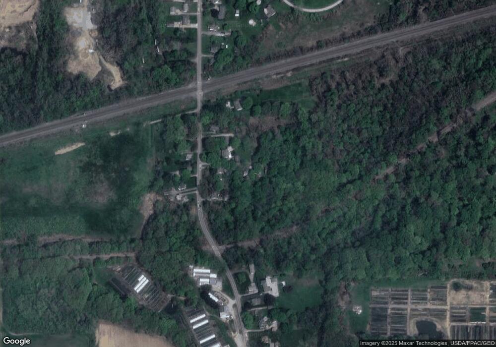
Map
Nearby Homes
- 0 N Ridge Rd Unit 5110949
- 500 Park Rd
- 396 Park Rd
- 1787 Muirfield Ln
- 1182 Dalton Dr
- 1172 Dalton Dr
- 389 Sand Trap Cir
- 399 Sandtrap Cir
- 525 Morgan Dr
- 1598 Bogie Ln
- 43 Bristol Ave
- V/L Morgan Dr
- 499 Sand Trap Cir
- 269 Hale Rd
- 547 Greenside Dr
- 44 Grove Ave
- 108 Birch Dr
- 1791 Muirfield Ln
- 1865 Marsh Ln Unit 1865
- 634 N Creek Dr