572 Currahee Point Toccoa, GA 30577
Estimated Value: $35,000 - $187,000
--
Bed
--
Bath
--
Sq Ft
0.47
Acres
About This Home
This home is located at 572 Currahee Point, Toccoa, GA 30577 and is currently estimated at $128,667. 572 Currahee Point is a home located in Stephens County with nearby schools including Stephens County High School.
Ownership History
Date
Name
Owned For
Owner Type
Purchase Details
Closed on
Jan 2, 2019
Sold by
Covington Robert
Bought by
Darch Theodore E and Darch Melody P
Current Estimated Value
Purchase Details
Closed on
Jul 19, 2013
Sold by
Pugh Eddy
Bought by
Covington Robert
Purchase Details
Closed on
Jun 27, 2007
Sold by
Lewis Heidi
Bought by
Pugh Eddie E
Home Financials for this Owner
Home Financials are based on the most recent Mortgage that was taken out on this home.
Original Mortgage
$35,100
Interest Rate
6.37%
Mortgage Type
New Conventional
Purchase Details
Closed on
Mar 9, 2006
Sold by
Stoffer Elizabeth Anne
Bought by
Lewis Hdidi
Purchase Details
Closed on
May 1, 1994
Bought by
<Buyer Info Not Present>
Create a Home Valuation Report for This Property
The Home Valuation Report is an in-depth analysis detailing your home's value as well as a comparison with similar homes in the area
Home Values in the Area
Average Home Value in this Area
Purchase History
| Date | Buyer | Sale Price | Title Company |
|---|---|---|---|
| Darch Theodore E | $18,492 | -- | |
| Covington Robert | -- | -- | |
| Pugh Eddie E | $39,000 | -- | |
| Pugh Eddy E | $39,000 | -- | |
| Lewis Hdidi | $28,000 | -- | |
| <Buyer Info Not Present> | $7,500 | -- |
Source: Public Records
Mortgage History
| Date | Status | Borrower | Loan Amount |
|---|---|---|---|
| Previous Owner | Pugh Eddy E | $35,100 |
Source: Public Records
Tax History Compared to Growth
Tax History
| Year | Tax Paid | Tax Assessment Tax Assessment Total Assessment is a certain percentage of the fair market value that is determined by local assessors to be the total taxable value of land and additions on the property. | Land | Improvement |
|---|---|---|---|---|
| 2025 | $102 | $3,698 | $3,698 | $0 |
| 2024 | $113 | $3,698 | $3,698 | $0 |
| 2023 | $113 | $3,698 | $3,698 | $0 |
| 2022 | $110 | $3,698 | $3,698 | $0 |
| 2021 | $116 | $3,698 | $3,698 | $0 |
| 2020 | $117 | $3,698 | $3,698 | $0 |
| 2019 | $117 | $3,698 | $3,698 | $0 |
| 2018 | $117 | $3,698 | $3,698 | $0 |
| 2017 | $119 | $3,698 | $3,698 | $0 |
| 2016 | $117 | $3,698 | $3,698 | $0 |
| 2015 | $123 | $3,698 | $3,698 | $0 |
| 2014 | $125 | $3,698 | $3,698 | $0 |
| 2013 | -- | $3,698 | $3,698 | $0 |
Source: Public Records
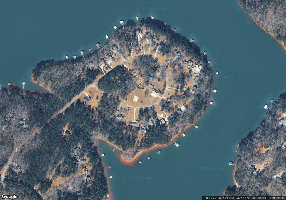
Map
Nearby Homes
- 49 Currahee Point
- 604 Mckinney Way
- 287 Spring Branch Cir
- 455 Chase Landing Rd
- 0 Oliver Rd Unit 20284767
- 0 Oliver Rd Unit 1550308
- Lot 34 Stillwater Place
- 3 Lost Forest Dr
- 02 Wood Valley Dr
- 223 Brookside Dr
- 004 Brookside Dr Unit 10A
- Lot 9 Block A Brookside Dr
- 1 Brookside Dr
- Lot 6 Lost Forest Dr
- 9B Lost Forest Dr
- 0 Lost Forest Dr
- 0 Wildwood Trail
- 0 Springview Dr Unit 22886896
- 0 Springview Dr Unit 21515079
- 0 Springview Dr Unit 20283368
- 604 Currahee Point
- 540 Currahee Point
- 589 Currahee Point
- 565 Currahee Point
- 621 Currahee Point
- 112 Currahee Point
- 472 Currahee Point
- 553 Currahee Point
- 364 Currahee Point
- 543 Currahee Point
- 651 Currahee Point
- 525 Currahee Point
- 18B Circle E
- 669 Currahee Point
- 505 Currahee Point
- 453 Currahee Point
- 499 Currahee Point
- 337 Currahee Point
- 0 Currahee Point Unit LOT 9 2841734
- 0 Currahee Point Unit LT 33 3232723