572 Dupps Ln Eureka Springs, AR 72631
Estimated Value: $346,000 - $503,000
--
Bed
1
Bath
714
Sq Ft
$603/Sq Ft
Est. Value
About This Home
This home is located at 572 Dupps Ln, Eureka Springs, AR 72631 and is currently estimated at $430,369, approximately $602 per square foot. 572 Dupps Ln is a home located in Carroll County with nearby schools including Eureka Springs Elementary School, Eureka Springs Middle School, and Eureka Springs High School.
Ownership History
Date
Name
Owned For
Owner Type
Purchase Details
Closed on
Nov 19, 2021
Sold by
Dupps Squared Inc
Bought by
Robert L Jones Trust and Elaine Jones Trust
Current Estimated Value
Purchase Details
Closed on
May 8, 2001
Sold by
Not Provided
Bought by
Not Provided
Purchase Details
Closed on
Nov 29, 1990
Sold by
Not Provided
Bought by
Not Provided
Purchase Details
Closed on
Aug 22, 1989
Bought by
To Maxfield Estates
Purchase Details
Closed on
Nov 14, 1988
Bought by
From Todd To Amland
Purchase Details
Closed on
Oct 28, 1988
Bought by
From Amland To Todd Invest
Purchase Details
Closed on
Jun 19, 1984
Bought by
From M Maxfield Est
Create a Home Valuation Report for This Property
The Home Valuation Report is an in-depth analysis detailing your home's value as well as a comparison with similar homes in the area
Home Values in the Area
Average Home Value in this Area
Purchase History
| Date | Buyer | Sale Price | Title Company |
|---|---|---|---|
| Robert L Jones Trust | $330,000 | Thurman Gregory A | |
| Not Provided | -- | -- | |
| Not Provided | $380,000 | -- | |
| Sites Dam | $380,000 | -- | |
| To Maxfield Estates | -- | -- | |
| From Todd To Amland | -- | -- | |
| From Amland To Todd Invest | -- | -- | |
| From M Maxfield Est | $497,500 | -- |
Source: Public Records
Tax History Compared to Growth
Tax History
| Year | Tax Paid | Tax Assessment Tax Assessment Total Assessment is a certain percentage of the fair market value that is determined by local assessors to be the total taxable value of land and additions on the property. | Land | Improvement |
|---|---|---|---|---|
| 2024 | $2,207 | $42,930 | $10,760 | $32,170 |
| 2023 | $2,065 | $42,930 | $10,760 | $32,170 |
| 2022 | $2,207 | $42,930 | $10,760 | $32,170 |
| 2021 | $1,479 | $32,300 | $11,280 | $21,020 |
| 2020 | $1,385 | $32,300 | $11,280 | $21,020 |
| 2019 | $1,307 | $32,300 | $11,280 | $21,020 |
| 2018 | $1,211 | $32,300 | $11,280 | $21,020 |
| 2017 | $1,116 | $32,300 | $11,280 | $21,020 |
| 2016 | $999 | $19,880 | $9,810 | $10,070 |
| 2014 | -- | $19,880 | $9,810 | $10,070 |
Source: Public Records
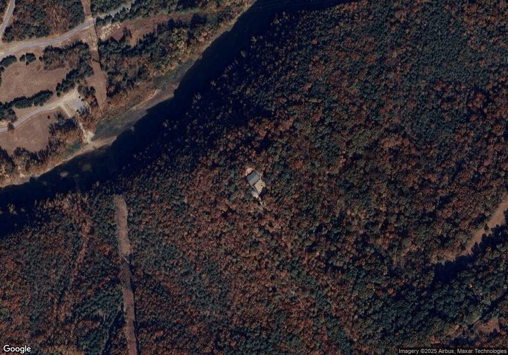
Map
Nearby Homes
- 576 Cr 1361
- 576 County Road 1361
- 13460 Highway 187
- 321 Mundell Rd
- 10.3 Acres of Cr-118
- 1216 County Road 113 Unit Cabin 7
- 1216 County Road 113 Unit Cabin 8
- 12960 Highway 187
- 1007 S Bayshore Dr
- 1150 Cr-113
- 0 Honey Creek Rd
- 1476 County Road 107
- 0 Valley View Dr
- 525 County Road 235
- LOT # 11 Jackson Ridge
- 150 Jackson Cove Crescent
- 0 Dam Site Rd Unit 1258827
- 545 County Road 235
- 0 County Road 122
- 127 County Road 2120
- 572 Dupps Ln
- 0 Dupps Ln Unit 1183756
- 0 Dupps Ln Unit 1183770
- 0 Dupps Ln Unit 1201933
- 0 Dam Site (Cr 113) Rd Unit 538729
- 0 Dam Site Cr 113 Rd Unit 538722
- Tbd Dam Site Rd
- 0 Dam Site Rd Unit 551817
- 0 Dam Site Rd Unit 609337
- 0 Dam Site Rd Unit 632128
- 0 Dam Site Rd Unit 713731
- 0 Dam Site Rd Unit 609426
- 11825??? Highway 187
- 22712 Dam Site Loop
- 554 County Road 1361
- 556 County Road 1361
- 576 & 574 County Rd 1361
- 342 County Road 1361
- 427 County Road 136
- 423 County Road 136