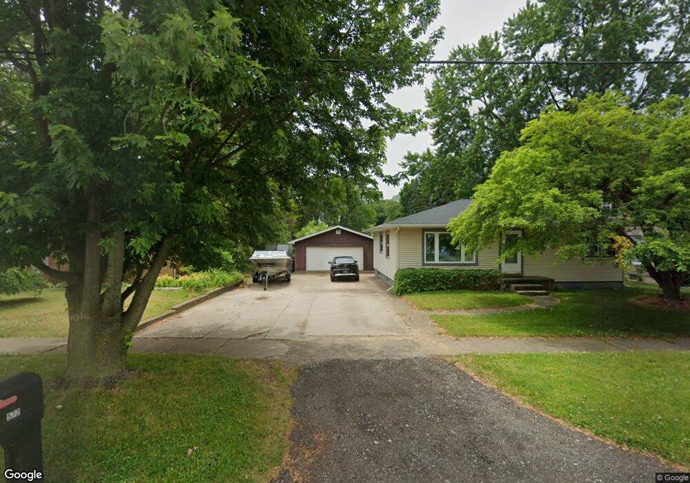
572 Ferris St NW Grand Rapids, MI 49544
Estimated Value: $244,000 - $304,000
4
Beds
2
Baths
1,080
Sq Ft
$246/Sq Ft
Est. Value
About This Home
This home is located at 572 Ferris St NW, Grand Rapids, MI 49544 and is currently estimated at $265,977, approximately $246 per square foot. 572 Ferris St NW is a home located in Kent County with nearby schools including Kenowa Hills Central Elementary School, Kenowa Hills Middle School, and Kenowa Hills High School.
Ownership History
Date
Name
Owned For
Owner Type
Purchase Details
Closed on
Sep 3, 2021
Sold by
Emily Marker
Bought by
Marker Emily and Marker David
Current Estimated Value
Purchase Details
Closed on
Dec 14, 2004
Sold by
Schwerin Jason R
Bought by
Schwerin Emily S
Purchase Details
Closed on
Aug 30, 1999
Sold by
Stuart Kenneth N
Bought by
Schwerin Jason and Schwerin Emily S
Purchase Details
Closed on
May 21, 1993
Bought by
Stuart Kenneth N and Schwerin Emily S
Create a Home Valuation Report for This Property
The Home Valuation Report is an in-depth analysis detailing your home's value as well as a comparison with similar homes in the area
Home Values in the Area
Average Home Value in this Area
Purchase History
| Date | Buyer | Sale Price | Title Company |
|---|---|---|---|
| Marker Emily | -- | None Listed On Document | |
| Schwerin Emily S | -- | -- | |
| Schwerin Jason | $108,000 | -- | |
| Stuart Kenneth N | $72,000 | -- |
Source: Public Records
Tax History Compared to Growth
Tax History
| Year | Tax Paid | Tax Assessment Tax Assessment Total Assessment is a certain percentage of the fair market value that is determined by local assessors to be the total taxable value of land and additions on the property. | Land | Improvement |
|---|---|---|---|---|
| 2025 | $1,531 | $115,200 | $0 | $0 |
| 2024 | $1,531 | $96,800 | $0 | $0 |
| 2023 | $1,464 | $84,700 | $0 | $0 |
| 2022 | $1,571 | $78,400 | $0 | $0 |
| 2021 | $1,531 | $71,900 | $0 | $0 |
| 2020 | $1,344 | $67,700 | $0 | $0 |
| 2019 | $2,445 | $61,200 | $0 | $0 |
| 2018 | $1,404 | $57,000 | $0 | $0 |
| 2017 | $1,365 | $54,700 | $0 | $0 |
| 2016 | $1,313 | $52,900 | $0 | $0 |
| 2015 | $1,241 | $52,900 | $0 | $0 |
| 2013 | -- | $46,300 | $0 | $0 |
Source: Public Records
Map
Nearby Homes
- 2222 Hoyle Ave NW
- 825 Roger St NW
- 947 Roger St NW
- 3343 Springbrook Dr NW
- 132 Graceland St NE
- 2723 Oakwood Ave NE
- 2765 Oakwood Ave NE
- 2630 Oakwood Ave NE
- 114 Knapp St NE
- 1152 Birdie Dr NW Unit 55
- 1922 Coit Ave NE
- 143 Dean St NE
- 120 Dean St NE
- 30 Palmer St NW
- 15 Palmer St NE
- 1528 Alpine Ave NW
- 321 Knapp St NE
- 2471 Union Ave NE
- 2919 Botsford Ave NE
- 155 Palmer St NE
- 578 Ferris St NW
- 568 Ferris St NW
- 562 Ferris St NW
- 575 Ferris St NW
- 565 Ferris St NW
- 554 Ferris St NW
- 563 Ferris St NW
- 596 Ferris St NW
- 587 Ferris St NW
- 546 Ferris St NW
- 553 Ferris St NW
- 546 Ferris Ave Ne NW
- 593 Ferris St NW
- 547 Ferris St NW
- 420 Ferris St NW
- 572 Lankamp St NW
- 566 Lankamp St NW
- 576 Lankamp St NW
- 560 Lankamp St NW
- 545 Rivercrest St NW