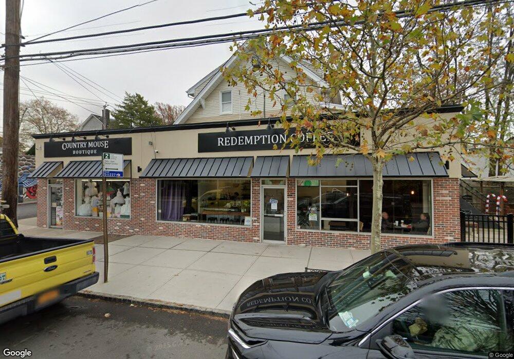
572 Forest Ave Unit R Staten Island, NY 10310
West Brighton NeighborhoodEstimated Value: $1,246,797
--
Bed
1
Bath
5,280
Sq Ft
$236/Sq Ft
Est. Value
About This Home
This home is located at 572 Forest Ave Unit R, Staten Island, NY 10310 and is currently estimated at $1,246,797, approximately $236 per square foot. 572 Forest Ave Unit R is a home located in Richmond County with nearby schools including P.S. 45 John Tyler, Is 61 William A Morris, and Curtis High School.
Ownership History
Date
Name
Owned For
Owner Type
Purchase Details
Closed on
Jul 8, 2024
Sold by
Liebman Raymond L and 48 Marissa Llc
Bought by
48 Marissa Llc
Current Estimated Value
Home Financials for this Owner
Home Financials are based on the most recent Mortgage that was taken out on this home.
Original Mortgage
$742,000
Interest Rate
2.4%
Mortgage Type
New Conventional
Purchase Details
Closed on
Apr 11, 2024
Sold by
Port Richmond Estates Llc
Bought by
48 Marisa Llc and Liebman
Purchase Details
Closed on
Apr 28, 2010
Sold by
Gregorio Kathleen and Estate Of Charles Gregorio
Bought by
Port Richmond Estates Llc
Create a Home Valuation Report for This Property
The Home Valuation Report is an in-depth analysis detailing your home's value as well as a comparison with similar homes in the area
Home Values in the Area
Average Home Value in this Area
Purchase History
| Date | Buyer | Sale Price | Title Company |
|---|---|---|---|
| 48 Marissa Llc | -- | Stewart Title | |
| 48 Marisa Llc | $1,150,000 | Stewart Title | |
| Port Richmond Estates Llc | $750,000 | New Jersey Title Ins Company |
Source: Public Records
Mortgage History
| Date | Status | Borrower | Loan Amount |
|---|---|---|---|
| Previous Owner | 48 Marissa Llc | $742,000 |
Source: Public Records
Tax History Compared to Growth
Tax History
| Year | Tax Paid | Tax Assessment Tax Assessment Total Assessment is a certain percentage of the fair market value that is determined by local assessors to be the total taxable value of land and additions on the property. | Land | Improvement |
|---|---|---|---|---|
| 2025 | $28,722 | $259,200 | $104,850 | $154,350 |
| 2024 | $28,722 | $277,650 | $104,850 | $172,800 |
| 2023 | $29,127 | $273,600 | $103,230 | $170,370 |
| 2022 | $26,997 | $259,200 | $104,850 | $154,350 |
| 2021 | $21,944 | $205,200 | $104,850 | $100,350 |
| 2020 | $26,057 | $291,150 | $104,850 | $186,300 |
| 2019 | $23,438 | $289,800 | $96,750 | $193,050 |
| 2018 | $20,392 | $210,600 | $64,350 | $146,250 |
| 2017 | $18,026 | $206,550 | $64,350 | $142,200 |
| 2016 | $17,035 | $177,300 | $56,250 | $121,050 |
| 2015 | $13,918 | $168,750 | $56,250 | $112,500 |
| 2014 | $13,918 | $148,950 | $56,250 | $92,700 |
Source: Public Records
Map
Nearby Homes
- 20 Baker Place
- 100 Lawrence Ave
- 54 City Blvd
- 605 Bard Ave
- 34 Harvest Ave
- 244 Delafield Ave
- 432 Pelton Ave
- 152 Harvest Ave
- 145 Norma Place
- 372 Sharon Ave
- 354 Hoyt Ave
- 112 Delafield Ave
- 72 Gregg Place
- 335 Oakland Ave
- 331 Oakland Ave
- 677 Bement Ave
- 1 Whitewood Ave
- 386 N Burgher Ave
- 215 Hart Blvd Unit 3L
- 1 Sunset Hill Dr
- 572 Forest Ave
- 570 Forest Ave Unit 572
- 570 Forest Ave
- 546 Davis Ave
- 548 Davis Ave
- 552 Davis Ave
- 536 Forest Ave
- 584 Forest Ave
- 521 Pelton Ave
- 534 Forest Ave
- 571 Forest Ave
- 556 Davis Ave
- 551 Davis Ave
- 523 Pelton Ave
- 532 Forest Ave
- 555 Davis Ave
- 585 Forest Ave
- 530 Forest Ave
- 560 Davis Ave
- 591 Forest Ave