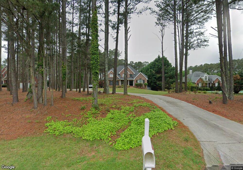
572 Forrest Ave Fayetteville, GA 30214
Estimated Value: $555,177 - $622,000
5
Beds
5
Baths
3,684
Sq Ft
$159/Sq Ft
Est. Value
About This Home
This home is located at 572 Forrest Ave, Fayetteville, GA 30214 and is currently estimated at $584,044, approximately $158 per square foot. 572 Forrest Ave is a home located in Fayette County with nearby schools including Bennett's Mill Middle School, Fayette County High School, and Rising Star Montessori School.
Ownership History
Date
Name
Owned For
Owner Type
Purchase Details
Closed on
Dec 11, 2020
Sold by
Gannon Patrick
Bought by
Baldwin Carey
Current Estimated Value
Home Financials for this Owner
Home Financials are based on the most recent Mortgage that was taken out on this home.
Original Mortgage
$357,300
Outstanding Balance
$318,671
Interest Rate
2.8%
Mortgage Type
New Conventional
Estimated Equity
$265,373
Create a Home Valuation Report for This Property
The Home Valuation Report is an in-depth analysis detailing your home's value as well as a comparison with similar homes in the area
Home Values in the Area
Average Home Value in this Area
Purchase History
| Date | Buyer | Sale Price | Title Company |
|---|---|---|---|
| Baldwin Carey | $397,000 | -- |
Source: Public Records
Mortgage History
| Date | Status | Borrower | Loan Amount |
|---|---|---|---|
| Open | Baldwin Carey | $357,300 |
Source: Public Records
Tax History Compared to Growth
Tax History
| Year | Tax Paid | Tax Assessment Tax Assessment Total Assessment is a certain percentage of the fair market value that is determined by local assessors to be the total taxable value of land and additions on the property. | Land | Improvement |
|---|---|---|---|---|
| 2024 | $4,298 | $194,364 | $48,000 | $146,364 |
| 2023 | $3,890 | $187,240 | $48,000 | $139,240 |
| 2022 | $4,161 | $180,040 | $48,000 | $132,040 |
| 2021 | $3,830 | $135,800 | $26,000 | $109,800 |
| 2020 | $2,274 | $127,280 | $26,000 | $101,280 |
| 2019 | $2,196 | $121,640 | $26,000 | $95,640 |
| 2018 | $2,738 | $149,760 | $18,000 | $131,760 |
| 2017 | $4,115 | $144,200 | $18,000 | $126,200 |
| 2016 | $3,728 | $128,080 | $18,000 | $110,080 |
| 2015 | $3,498 | $118,200 | $18,000 | $100,200 |
| 2014 | $3,198 | $106,360 | $18,000 | $88,360 |
| 2013 | -- | $99,080 | $0 | $0 |
Source: Public Records
Map
Nearby Homes
- Columbia Plan at Arborvale
- Oak Park Plan at Arborvale
- Esquire Place Plan at Arborvale
- Cumberland Plan at Arborvale
- Lehigh Plan at Arborvale
- E OF 118 Stanley Rd
- 115 Westside Way
- 225 S Shore Terrace
- 125 Marilyn Ct
- 560 Hawthorne Dr
- 140 Rolison Way
- 150 Rolison Way
- 235 Rolison Way
- 170 Liberty Dr
- 150 Bartow St Unit LOT 5
- 140 Bartow St Unit LOT 4
- 130 Reese St
- 190 Rolison Way
- 234 Stanley Rd
- 230 White Rd
- 578 Forrest Ave
- 564 Forrest Ave
- 582 Forrest Ave
- 125 Victoria Place Unit 38
- 125 Victoria Place
- 575 Forrest Ave
- 115 Victoria Place
- 571 Forrest Ave
- 583 Forrest Ave
- 105 Victoria Dr
- 135 Victoria Place
- 561 Forrest Ave
- 115 Victoria Dr
- 591 Forrest Ave Unit 3
- 130 VICTORIA PL 130 Victoria Place
- 130 Victoria Place Unit 164
- 130 Victoria Place
- 559 Forrest Ave
- 105 White Rd
- 125 Victoria Dr