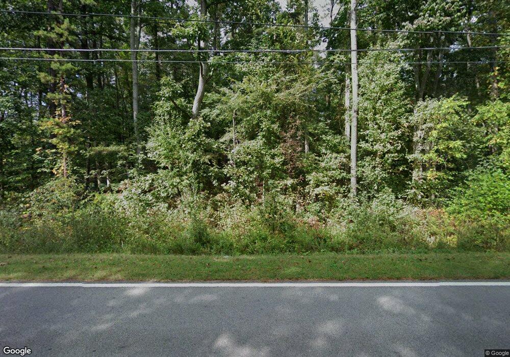
572 High Shoals Rd Dallas, GA 30132
Estimated Value: $382,649 - $412,000
3
Beds
1
Bath
1,800
Sq Ft
$220/Sq Ft
Est. Value
About This Home
This home is located at 572 High Shoals Rd, Dallas, GA 30132 and is currently estimated at $396,412, approximately $220 per square foot. 572 High Shoals Rd is a home located in Paulding County with nearby schools including Northside Elementary School, Lena Mae Moses Middle School, and North Paulding High School.
Ownership History
Date
Name
Owned For
Owner Type
Purchase Details
Closed on
Jan 30, 2025
Sold by
Pollak Brenda
Bought by
Pollak Brenda and Pollak James Loren
Current Estimated Value
Purchase Details
Closed on
Jan 20, 2017
Sold by
Pollak Brenda
Bought by
Keystone Communities Llc
Purchase Details
Closed on
Apr 2, 2001
Sold by
Ruff Brenda M
Bought by
Pollak Brenda
Home Financials for this Owner
Home Financials are based on the most recent Mortgage that was taken out on this home.
Original Mortgage
$99,200
Interest Rate
6.99%
Mortgage Type
New Conventional
Create a Home Valuation Report for This Property
The Home Valuation Report is an in-depth analysis detailing your home's value as well as a comparison with similar homes in the area
Home Values in the Area
Average Home Value in this Area
Purchase History
| Date | Buyer | Sale Price | Title Company |
|---|---|---|---|
| Pollak Brenda | -- | -- | |
| Keystone Communities Llc | -- | -- | |
| Pollak Brenda | -- | -- |
Source: Public Records
Mortgage History
| Date | Status | Borrower | Loan Amount |
|---|---|---|---|
| Previous Owner | Pollak Brenda | $99,200 |
Source: Public Records
Tax History Compared to Growth
Tax History
| Year | Tax Paid | Tax Assessment Tax Assessment Total Assessment is a certain percentage of the fair market value that is determined by local assessors to be the total taxable value of land and additions on the property. | Land | Improvement |
|---|---|---|---|---|
| 2024 | $3,092 | $127,520 | $43,560 | $83,960 |
| 2023 | $3,125 | $122,400 | $42,480 | $79,920 |
| 2022 | $2,782 | $108,600 | $36,960 | $71,640 |
| 2021 | $2,414 | $84,920 | $31,240 | $53,680 |
| 2020 | $2,259 | $77,920 | $31,240 | $46,680 |
| 2019 | $2,180 | $74,200 | $29,760 | $44,440 |
| 2018 | $1,693 | $58,040 | $26,280 | $31,760 |
| 2017 | $1,924 | $64,840 | $36,120 | $28,720 |
| 2016 | $1,620 | $55,440 | $33,920 | $21,520 |
| 2015 | $1,554 | $52,360 | $33,000 | $19,360 |
| 2014 | $1,411 | $46,560 | $29,840 | $16,720 |
| 2013 | -- | $45,480 | $32,440 | $13,040 |
Source: Public Records
Map
Nearby Homes
- 676 High Shoals Rd
- 4246 Cartersville Hwy
- 98 Randolph Farms Dr
- 141 Randolph Farms Dr
- 94 Barnwood Pte
- 102 Barnwood Pte
- 60 Barnwood Pte
- 76 Barnwood Pte
- Braydon Plan at High Shoals
- Newport Plan at Pointe North
- Sierra Plan at High Shoals
- Brighton Plan at Pointe North
- Alexander Plan at High Shoals
- Madison Plan at Pointe North
- 68 Lakeview Terrace
- 0 Forest Creek
- 282 Shoals Trail
- 688 Shoals Trail
- 0 Snote Jones Rd Unit 10480976
- 428 Snote Jones Rd
- 560 High Shoals Rd
- 681 High Shoals Rd
- 402 High Shoals Rd
- 703 High Shoals Rd
- 001 High Shoals
- 703 High Shoals
- 762 High Shoals Rd
- 344 High Shoals Rd
- 00000 Johnny Monk Rd
- 827 High Shoals Rd
- 64 Rockstore Rd
- 14 Rockstore Rd
- 191 Snote Jones Rd
- 400 Rockstore Rd
- 294 S High Shoals Rd
- 294 High Shoals Rd
- 1051 High Shoals Rd
- 51 Rockstore Rd
- 157 Rockstore Rd
- 164 High Shoals Rd
