572 Sickle Ridge Rd Confluence, PA 15424
Henry Clay Township NeighborhoodEstimated Value: $185,000 - $427,000
4
Beds
2
Baths
1,856
Sq Ft
$140/Sq Ft
Est. Value
About This Home
This home is located at 572 Sickle Ridge Rd, Confluence, PA 15424 and is currently estimated at $259,182, approximately $139 per square foot. 572 Sickle Ridge Rd is a home located in Fayette County with nearby schools including Uniontown Area Senior High School.
Ownership History
Date
Name
Owned For
Owner Type
Purchase Details
Closed on
Aug 9, 2010
Sold by
Billick Debra A
Bought by
Billick Robert H
Current Estimated Value
Purchase Details
Closed on
Aug 22, 2007
Sold by
Billick Robert H and Billick Debra A
Bought by
Billick Robert H and Curran Billick Lori Jo
Home Financials for this Owner
Home Financials are based on the most recent Mortgage that was taken out on this home.
Original Mortgage
$306,000
Outstanding Balance
$50,168
Interest Rate
6.78%
Mortgage Type
New Conventional
Estimated Equity
$209,014
Create a Home Valuation Report for This Property
The Home Valuation Report is an in-depth analysis detailing your home's value as well as a comparison with similar homes in the area
Home Values in the Area
Average Home Value in this Area
Purchase History
| Date | Buyer | Sale Price | Title Company |
|---|---|---|---|
| Billick Robert H | -- | None Available | |
| Billick Robert H | -- | Nations Title Of Maryland In |
Source: Public Records
Mortgage History
| Date | Status | Borrower | Loan Amount |
|---|---|---|---|
| Open | Billick Robert H | $306,000 |
Source: Public Records
Tax History Compared to Growth
Tax History
| Year | Tax Paid | Tax Assessment Tax Assessment Total Assessment is a certain percentage of the fair market value that is determined by local assessors to be the total taxable value of land and additions on the property. | Land | Improvement |
|---|---|---|---|---|
| 2025 | $1,138 | $44,490 | $8,100 | $36,390 |
| 2024 | $1,086 | $44,490 | $8,100 | $36,390 |
| 2023 | $2,172 | $44,490 | $8,100 | $36,390 |
| 2022 | $2,172 | $44,490 | $8,100 | $36,390 |
| 2021 | $2,172 | $44,490 | $8,100 | $36,390 |
| 2020 | $2,122 | $44,490 | $8,100 | $36,390 |
| 2019 | $1,949 | $44,490 | $8,100 | $36,390 |
| 2018 | $1,845 | $44,490 | $8,100 | $36,390 |
| 2017 | $1,845 | $44,490 | $8,100 | $36,390 |
| 2016 | -- | $44,490 | $8,100 | $36,390 |
| 2015 | -- | $44,490 | $8,100 | $36,390 |
| 2014 | -- | $88,980 | $16,200 | $72,780 |
Source: Public Records
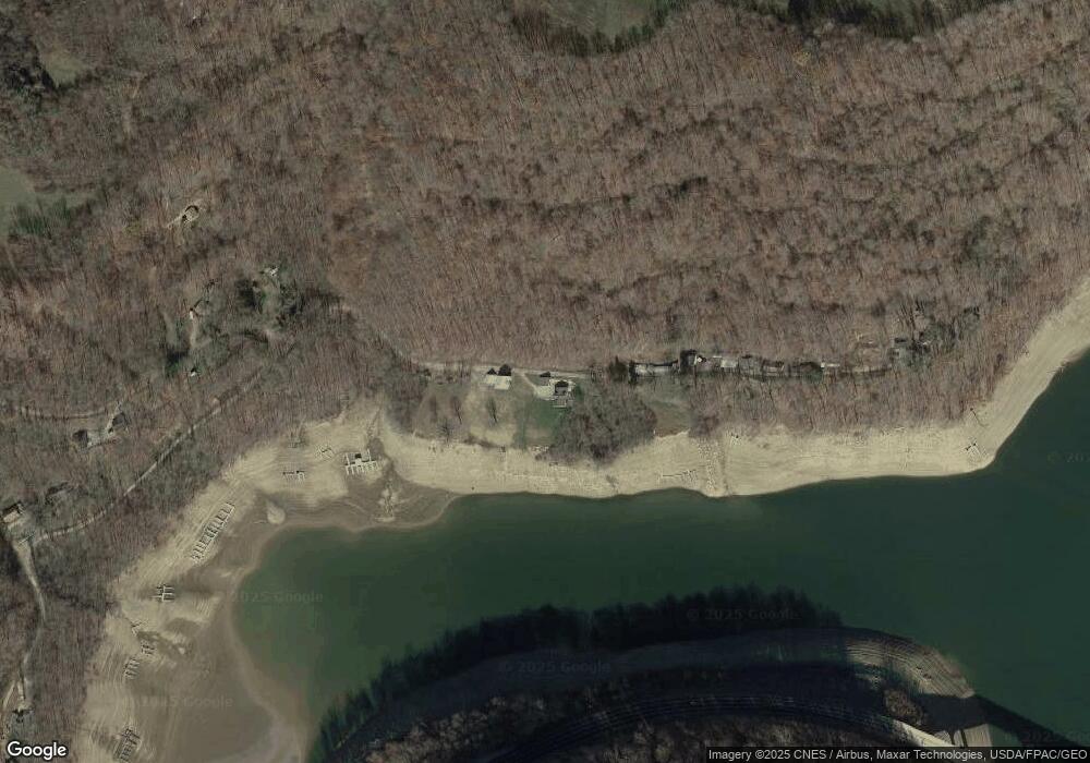
Map
Nearby Homes
- 309 Dark Hollow Rd
- 390 Tub Run Rd
- 750 Lake Side Rd
- 100 First Street Lot Unit WP001
- 100 First St
- 165 Magnolia Rd
- 230 Locust Rd
- 171 Mae Rd W
- #5 & #7 Laurel Rd
- 0 Walker Rd Unit 11505971
- 280 Main St
- 113 Cross St
- 192 Wilkins Hollow Rd
- 000 National Pike
- 200 Brown Hill Rd
- 734 Main St
- 442 Bruceton Rd
- 0 Unit WP001
- 145 Robert Brown Rd
- 844 Williams St
- 570 Sickle Ridge Rd
- 583 Sickle Ridge Rd
- 648 Sickle Ridge Rd
- 587 Sickle Ridge Rd
- 591 Sickle Ridge Rd
- 607 Sickle Ridge Rd
- 603 Sickle Ridge Rd
- 609 Sickle Ridge Rd
- 541 Sickle Ridge Rd
- 548 Sickle Ridge Rd
- 263 Meyers Dr
- 0 Meyers Unit 991600
- 251 Meyers Dr
- 230 Meyers Dr
- 224 Meyers Dr
- 215 Meyers Dr
- 225 Meyers Dr
- 219 Meyers Dr
- 611 Sickle Ridge Rd
- 298 Dark Hollow Rd