572 Wilcrest Dr Unit 572 Houston, TX 77042
Briar Forest NeighborhoodEstimated Value: $174,447 - $210,000
2
Beds
3
Baths
1,740
Sq Ft
$111/Sq Ft
Est. Value
About This Home
This home is located at 572 Wilcrest Dr Unit 572, Houston, TX 77042 and is currently estimated at $192,612, approximately $110 per square foot. 572 Wilcrest Dr Unit 572 is a home located in Harris County with nearby schools including Askew Elementary School, Paul Revere Middle School, and Westside High School.
Ownership History
Date
Name
Owned For
Owner Type
Purchase Details
Closed on
May 8, 1997
Sold by
Cassis Nora A
Bought by
Brobeck Susan F
Current Estimated Value
Home Financials for this Owner
Home Financials are based on the most recent Mortgage that was taken out on this home.
Original Mortgage
$57,750
Interest Rate
8.12%
Mortgage Type
Purchase Money Mortgage
Purchase Details
Closed on
Apr 14, 1995
Sold by
Oshensky Janis Lynn
Bought by
Cassis Nora A
Home Financials for this Owner
Home Financials are based on the most recent Mortgage that was taken out on this home.
Original Mortgage
$62,800
Interest Rate
8.53%
Mortgage Type
Purchase Money Mortgage
Create a Home Valuation Report for This Property
The Home Valuation Report is an in-depth analysis detailing your home's value as well as a comparison with similar homes in the area
Home Values in the Area
Average Home Value in this Area
Purchase History
| Date | Buyer | Sale Price | Title Company |
|---|---|---|---|
| Brobeck Susan F | -- | -- | |
| Cassis Nora A | -- | Stewart Title |
Source: Public Records
Mortgage History
| Date | Status | Borrower | Loan Amount |
|---|---|---|---|
| Closed | Brobeck Susan F | $57,750 | |
| Previous Owner | Cassis Nora A | $62,800 | |
| Closed | Cassis Nora A | $8,807 |
Source: Public Records
Tax History Compared to Growth
Tax History
| Year | Tax Paid | Tax Assessment Tax Assessment Total Assessment is a certain percentage of the fair market value that is determined by local assessors to be the total taxable value of land and additions on the property. | Land | Improvement |
|---|---|---|---|---|
| 2025 | $25 | $189,776 | $36,057 | $153,719 |
| 2024 | $25 | $193,820 | $36,826 | $156,994 |
| 2023 | $25 | $197,105 | $37,450 | $159,655 |
| 2022 | $3,836 | $174,193 | $33,097 | $141,096 |
| 2021 | $3,697 | $158,638 | $30,141 | $128,497 |
| 2020 | $3,857 | $159,289 | $30,265 | $129,024 |
| 2019 | $3,959 | $156,464 | $29,728 | $126,736 |
| 2018 | $484 | $152,311 | $28,939 | $123,372 |
| 2017 | $3,733 | $152,311 | $28,939 | $123,372 |
| 2016 | $3,394 | $146,161 | $27,771 | $118,390 |
| 2015 | $652 | $146,161 | $27,771 | $118,390 |
| 2014 | $652 | $129,643 | $24,632 | $105,011 |
Source: Public Records
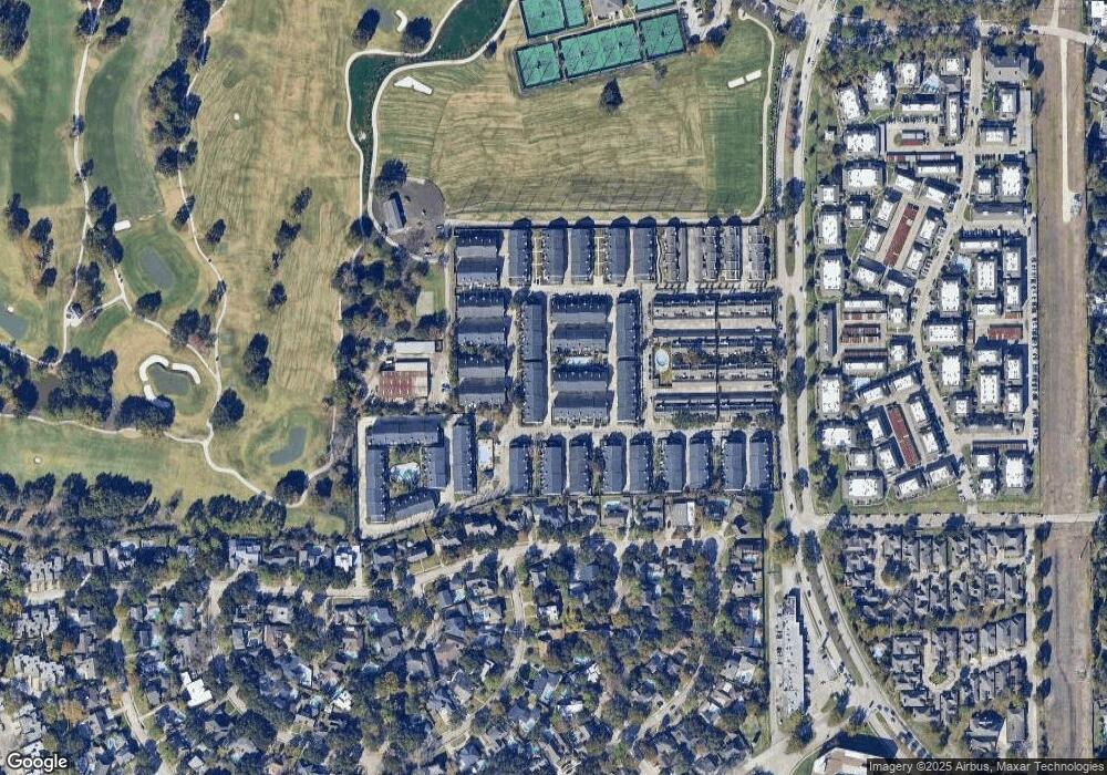
Map
Nearby Homes
- 580 Wilcrest Dr Unit 580
- 360 Wilcrest Dr Unit 360
- 600 Wilcrest Dr Unit 66
- 1306 Riverview Ct
- 11418 Lakeside Place Dr
- 11422 Lakeside Place Dr
- 1506 Haven Lock Dr
- 1325 Chardonnay Dr
- 11418 Long Pine Dr
- 11603 Lakeside Place Dr
- 1336 Chardonnay Dr
- 1353 Chardonnay Dr
- 11206 Mattina Dr
- 1532 Prairie Grove Dr
- 1365 Chardonnay Dr
- 210 Big Hollow Ln
- 1556 Prairie Grove Dr
- 1547 Prairie Grove Dr
- 1621 Prairie Mark Ln
- 1339 Beaujolais Ln
- 574 Wilcrest Dr Unit 574
- 576 Wilcrest Dr Unit 576
- 578 Wilcrest Dr Unit 578
- 11322 Riverview Dr
- 586 Wilcrest Dr Unit 586
- 590 Wilcrest Dr Unit 590
- 582 Wilcrest Dr Unit 582
- 558 Wilcrest Dr Unit 558
- 560 Wilcrest Dr Unit 560
- 592 Wilcrest Dr Unit 592
- 588 Wilcrest Dr Unit 588
- 564 Wilcrest Dr Unit 564
- 594 Wilcrest Dr Unit 594
- 584 Wilcrest Dr Unit 584
- 566 Wilcrest Dr Unit 566
- 596 Wilcrest Dr Unit 596
- 568 Wilcrest Dr Unit 568
- 568 Wilcrest Dr
- 11326 Riverview Dr
- 598 Wilcrest Dr Unit 598