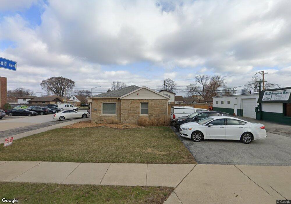
5720 111th St Chicago Ridge, IL 60415
Estimated Value: $295,914 - $336,000
3
Beds
2
Baths
1,681
Sq Ft
$190/Sq Ft
Est. Value
About This Home
This home is located at 5720 111th St, Chicago Ridge, IL 60415 and is currently estimated at $318,729, approximately $189 per square foot. 5720 111th St is a home located in Cook County with nearby schools including Ridge Central Elementary School, Elden D Finley Jr High School, and Harold L. Richards High School.
Ownership History
Date
Name
Owned For
Owner Type
Purchase Details
Closed on
Apr 11, 2018
Sold by
Buduris Samuel M and Buduris Lori C
Bought by
Samron Inc
Current Estimated Value
Purchase Details
Closed on
Dec 8, 2015
Sold by
Standard Bank & Trust Company
Bought by
Difoggio Ronald R and Buduris Samuel M
Purchase Details
Closed on
Sep 13, 2005
Sold by
Standard Bank & Trust Co
Bought by
Standard Bank & Trust Co and Trust #19043
Create a Home Valuation Report for This Property
The Home Valuation Report is an in-depth analysis detailing your home's value as well as a comparison with similar homes in the area
Home Values in the Area
Average Home Value in this Area
Purchase History
| Date | Buyer | Sale Price | Title Company |
|---|---|---|---|
| Samron Inc | -- | None Available | |
| Difoggio Ronald R | $195,000 | None Available | |
| Standard Bank & Trust Co | $180,000 | -- |
Source: Public Records
Tax History Compared to Growth
Tax History
| Year | Tax Paid | Tax Assessment Tax Assessment Total Assessment is a certain percentage of the fair market value that is determined by local assessors to be the total taxable value of land and additions on the property. | Land | Improvement |
|---|---|---|---|---|
| 2024 | $7,460 | $23,000 | $4,495 | $18,505 |
| 2023 | $6,859 | $23,000 | $4,495 | $18,505 |
| 2022 | $6,859 | $17,508 | $3,933 | $13,575 |
| 2021 | $6,564 | $17,507 | $3,933 | $13,574 |
| 2020 | $6,483 | $17,507 | $3,933 | $13,574 |
| 2019 | $7,242 | $18,547 | $3,558 | $14,989 |
| 2018 | $6,887 | $18,547 | $3,558 | $14,989 |
| 2017 | $6,898 | $18,547 | $3,558 | $14,989 |
| 2016 | $5,546 | $13,902 | $2,996 | $10,906 |
| 2015 | $5,440 | $13,902 | $2,996 | $10,906 |
| 2014 | $5,328 | $13,902 | $2,996 | $10,906 |
| 2013 | $5,399 | $15,489 | $2,996 | $12,493 |
Source: Public Records
Map
Nearby Homes
- 11013 Menard Ave
- 5730 110th St
- 11010 Central Ave Unit 3A
- 11000 Central Ave Unit 2C
- 10930 Central Ave Unit 1B
- 5825 109th St
- 11024 Mason Ave
- 10832 Massasoit Ave
- 5924 W 109th St
- 6040 111th St
- 10925 Mcvicker Ave
- 10755 Mason Ave
- 10925 Lyman Ave
- 10710 Central Ave Unit 3D
- 10937 Moody Ave
- 10854 Lyman Ave
- 5810 107th Court Way
- 10624 S Central Ave Unit 1
- 10620 S Central Ave Unit 1A
- 10620 S Central Ave Unit 3A
- 5720 W 111th St
- 11035 Massasoit Ave
- 5724 W 111th St Unit 3D
- 5724 W 111th St Unit 2D
- 5724 W 111th St Unit 1C
- 5724 W 111th St Unit 3A
- 5724 W 111th St Unit 1A
- 5724 W 111th St Unit 1D
- 5724 W 111th St Unit 3B
- 5724 W 111th St
- 5724 111th St Unit 1B
- 5724 111th St Unit 1A
- 5724 111th St Unit 1D
- 5724 111th St Unit 3D
- 5724 111th St Unit 3C
- 5724 111th St Unit 2D
- 5724 111th St Unit 2C
- 5724 111th St Unit 2B
- 5724 111th St Unit 2A
- 5724 111th St Unit 1C