5720 Balsam Cir Wisconsin Rapids, WI 54494
Estimated Value: $237,317 - $342,000
--
Bed
--
Bath
--
Sq Ft
0.64
Acres
About This Home
This home is located at 5720 Balsam Cir, Wisconsin Rapids, WI 54494 and is currently estimated at $290,579. 5720 Balsam Cir is a home located in Wood County with nearby schools including Washington Elementary School, East Junior High School, and Wisconsin Rapids Area Middle School.
Ownership History
Date
Name
Owned For
Owner Type
Purchase Details
Closed on
Jul 18, 2019
Sold by
Eggebrecht Dylan R
Bought by
Eggebrecht Dylan R and Eggebrecht Kellie
Current Estimated Value
Purchase Details
Closed on
Oct 9, 2013
Sold by
Bravick James W
Bought by
Eggebrecht Dylan R
Home Financials for this Owner
Home Financials are based on the most recent Mortgage that was taken out on this home.
Original Mortgage
$111,150
Interest Rate
4.59%
Mortgage Type
New Conventional
Purchase Details
Closed on
Mar 27, 2012
Sold by
Kelly Mary E
Bought by
Bravick James W
Create a Home Valuation Report for This Property
The Home Valuation Report is an in-depth analysis detailing your home's value as well as a comparison with similar homes in the area
Home Values in the Area
Average Home Value in this Area
Purchase History
| Date | Buyer | Sale Price | Title Company |
|---|---|---|---|
| Eggebrecht Dylan R | -- | -- | |
| Eggebrecht Dylan R | $117,000 | Goetz Abstract & Title | |
| Bravick James W | $86,000 | -- |
Source: Public Records
Mortgage History
| Date | Status | Borrower | Loan Amount |
|---|---|---|---|
| Previous Owner | Eggebrecht Dylan R | $111,150 |
Source: Public Records
Tax History Compared to Growth
Tax History
| Year | Tax Paid | Tax Assessment Tax Assessment Total Assessment is a certain percentage of the fair market value that is determined by local assessors to be the total taxable value of land and additions on the property. | Land | Improvement |
|---|---|---|---|---|
| 2024 | $2,497 | $152,000 | $13,000 | $139,000 |
| 2023 | $2,444 | $152,000 | $13,000 | $139,000 |
| 2022 | $2,416 | $152,000 | $13,000 | $139,000 |
| 2021 | $2,442 | $152,000 | $13,000 | $139,000 |
| 2020 | $2,475 | $152,000 | $13,000 | $139,000 |
| 2019 | $2,124 | $113,300 | $11,000 | $102,300 |
| 2018 | $2,113 | $113,300 | $11,000 | $102,300 |
| 2017 | $2,069 | $113,300 | $11,000 | $102,300 |
| 2016 | $2,024 | $113,300 | $11,000 | $102,300 |
| 2015 | $1,968 | $113,300 | $11,000 | $102,300 |
Source: Public Records
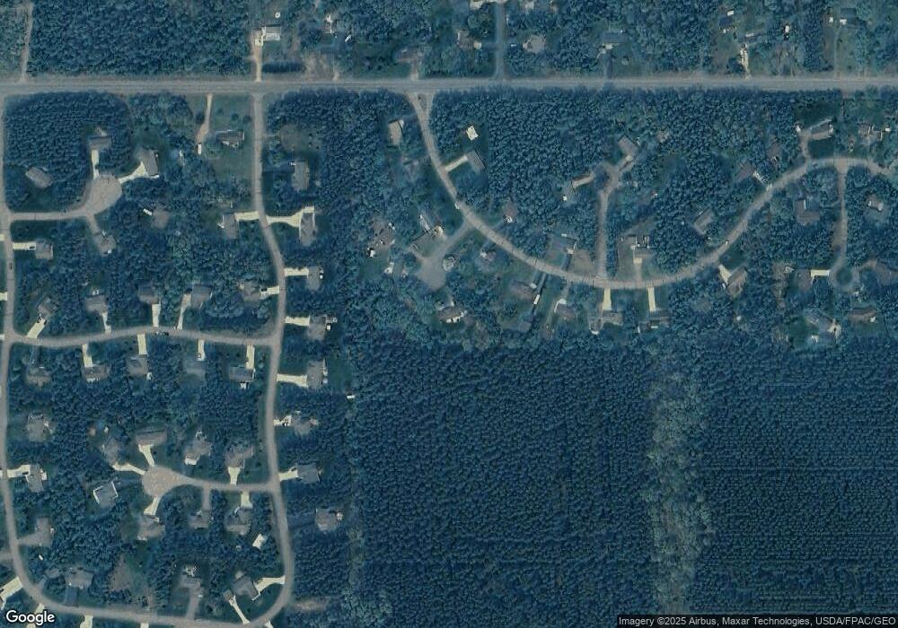
Map
Nearby Homes
- 6111 Magnolia Dr
- 5741 Siesta Cir
- 4910 Pine Needle Way
- 7320 Deer Rd
- Parcel #0703692 Dewberry Ln
- 5930 Wazeecha Ave
- 3610 43rd St S
- 5640 Helke Rd
- 3820 36th St S
- 3410 Big Timber Dr
- 000 64th St S Unit 11840 64th Street So
- 8041 White Pine Dr
- 6410 Lenox Ave
- 6711 Kellner Rd
- 4411 Kellner Rd
- 1911 45th St S
- 1930 42nd St S
- 1510 52nd St S
- 8210 Grove Ave
- 8540 Lake Rd
- 5710 Balsam Cir
- 5730 Wintergreen Dr
- 5740 Wintergreen Dr
- 5640 Balsam Cir
- 5630 Wintergreen Dr
- 5810 Wintergreen Dr
- 5011 Prairie Ridge Dr
- 4921 Prairie Ridge Dr
- 5731 Wintergreen Dr
- 5741 Wintergreen Dr
- 5620 Wintergreen Dr
- 5820 Wintergreen Dr
- 5721 Wintergreen Dr
- 5811 Cherrywood Ct
- 4920 Prairie Ridge Dr
- 4821 Prairie Ridge Dr
- 5121 Prairie Ridge Dr
- 5830 Wintergreen Dr
- 5610 Wintergreen Dr
- 5911 Wintergreen Dr