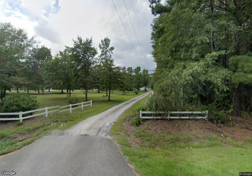
5720 Highway 701 S Conway, SC 29527
Estimated Value: $341,000 - $488,960
3
Beds
3
Baths
2,415
Sq Ft
$173/Sq Ft
Est. Value
About This Home
This home is located at 5720 Highway 701 S, Conway, SC 29527 and is currently estimated at $417,490, approximately $172 per square foot. 5720 Highway 701 S is a home located in Horry County with nearby schools including South Conway Elementary School, Whittemore Park Middle School, and Conway High School.
Ownership History
Date
Name
Owned For
Owner Type
Purchase Details
Closed on
May 14, 2001
Sold by
Cherry John C
Bought by
Lee Dean Mary Farrell and Lee Dean Danny
Current Estimated Value
Home Financials for this Owner
Home Financials are based on the most recent Mortgage that was taken out on this home.
Original Mortgage
$85,000
Outstanding Balance
$31,715
Interest Rate
7.02%
Mortgage Type
Purchase Money Mortgage
Estimated Equity
$385,775
Purchase Details
Closed on
Apr 4, 2000
Sold by
Cherry Cynthia J and Woodward Cynthia J
Bought by
Cherry John C
Create a Home Valuation Report for This Property
The Home Valuation Report is an in-depth analysis detailing your home's value as well as a comparison with similar homes in the area
Home Values in the Area
Average Home Value in this Area
Purchase History
| Date | Buyer | Sale Price | Title Company |
|---|---|---|---|
| Lee Dean Mary Farrell | $172,000 | -- | |
| Cherry John C | -- | -- |
Source: Public Records
Mortgage History
| Date | Status | Borrower | Loan Amount |
|---|---|---|---|
| Open | Lee Dean Mary Farrell | $85,000 |
Source: Public Records
Tax History Compared to Growth
Tax History
| Year | Tax Paid | Tax Assessment Tax Assessment Total Assessment is a certain percentage of the fair market value that is determined by local assessors to be the total taxable value of land and additions on the property. | Land | Improvement |
|---|---|---|---|---|
| 2024 | $1,030 | $15,871 | $5,228 | $10,643 |
| 2023 | $1,030 | $10,635 | $2,783 | $7,852 |
| 2021 | $907 | $35,480 | $7,539 | $27,941 |
| 2020 | $796 | $35,480 | $7,539 | $27,941 |
| 2019 | $796 | $35,480 | $7,539 | $27,941 |
| 2018 | $873 | $24,277 | $6,353 | $17,924 |
| 2017 | $858 | $20,344 | $2,420 | $17,924 |
| 2016 | -- | $20,344 | $2,420 | $17,924 |
| 2015 | $858 | $9,248 | $2,420 | $6,828 |
| 2014 | $792 | $9,248 | $2,420 | $6,828 |
Source: Public Records
Map
Nearby Homes
- tbd Reba Dr
- TBD Ebenezer Rd
- 221 New River Rd
- TBD Old Bucksville Rd Unit Browns Chapel Rd & B
- 106 Riverwatch Dr
- 262 Saddle St
- 8.06 Acs Old Bucksville Rd
- 161 Saddle St Unit Lot 66
- 404 Owens Ln Unit Live Oak Plan
- 408 Owens Ln Unit Tupelo 2
- 400 Owens Ln Unit Cedar 3 Plan
- 129 Ecum Secum Place
- 263 Saddle St
- 216 Wahee Place
- 217 Wahee Place
- 0000 Highway 701 S
- TBD Tranquil Rd
- TBD Winburn St
- 810 Kinlaw Ln
- 409 Landing Rd
- 5720 U S 701
- Hwy. 701 S Hwy 701 S
- 5730 Highway 701 S
- 6.77 Acs. Hwy 701 S
- Rheuark Ro S & Reba Rd
- 5645 Highway 701 S
- 5550 Rheuark Dr
- 5701 Reba Rd
- 5560 Rheuark Dr
- 5645 U S 701
- 5751 Highway 701 S
- 5615 Old Bucksville Rd
- 6.0 acres Hwy 701 S
- 6.25 acres Old Bucksville Rd
- Rheuark Road Reba Dr
- 6.49 Acs Rheuark Dr
- 5636 Reba Rd
- 5680 Old Bucksville Rd
- 5599 Rheuark Dr
- 5740 Old Bucksville Rd