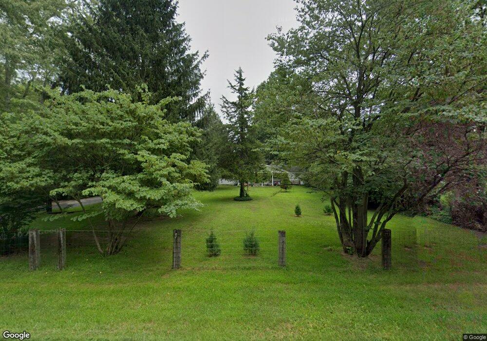
5720 N State Road 23 Grovertown, IN 46531
Estimated Value: $131,000 - $209,000
2
Beds
2
Baths
1,378
Sq Ft
$127/Sq Ft
Est. Value
About This Home
This home is located at 5720 N State Road 23, Grovertown, IN 46531 and is currently estimated at $174,422, approximately $126 per square foot. 5720 N State Road 23 is a home located in Starke County with nearby schools including Oregon-Davis Elementary School and Oregon-Davis Junior/Senior High School.
Ownership History
Date
Name
Owned For
Owner Type
Purchase Details
Closed on
May 25, 2012
Sold by
Keehn Clara Belle and Bensley Terry
Bought by
Akers Devin N
Current Estimated Value
Home Financials for this Owner
Home Financials are based on the most recent Mortgage that was taken out on this home.
Original Mortgage
$57,504
Outstanding Balance
$40,390
Interest Rate
4.12%
Mortgage Type
FHA
Estimated Equity
$134,032
Create a Home Valuation Report for This Property
The Home Valuation Report is an in-depth analysis detailing your home's value as well as a comparison with similar homes in the area
Home Values in the Area
Average Home Value in this Area
Purchase History
| Date | Buyer | Sale Price | Title Company |
|---|---|---|---|
| Akers Devin N | -- | None Available |
Source: Public Records
Mortgage History
| Date | Status | Borrower | Loan Amount |
|---|---|---|---|
| Open | Akers Devin N | $57,504 |
Source: Public Records
Tax History Compared to Growth
Tax History
| Year | Tax Paid | Tax Assessment Tax Assessment Total Assessment is a certain percentage of the fair market value that is determined by local assessors to be the total taxable value of land and additions on the property. | Land | Improvement |
|---|---|---|---|---|
| 2024 | $691 | $112,400 | $35,900 | $76,500 |
| 2023 | $612 | $101,100 | $31,100 | $70,000 |
| 2022 | $615 | $91,900 | $27,800 | $64,100 |
| 2021 | $639 | $80,500 | $26,200 | $54,300 |
| 2020 | $659 | $76,500 | $26,000 | $50,500 |
| 2019 | $615 | $74,500 | $25,100 | $49,400 |
| 2018 | $589 | $71,800 | $24,400 | $47,400 |
| 2017 | $518 | $68,900 | $23,500 | $45,400 |
| 2016 | $503 | $68,400 | $23,300 | $45,100 |
| 2014 | $469 | $72,900 | $23,100 | $49,800 |
| 2013 | $442 | $72,700 | $22,300 | $50,400 |
Source: Public Records
Map
Nearby Homes
- TBD 500 N
- TBD E 550 N
- 3935 N 950 E
- Lot 10 Shipping Lane Dr W
- TBD Beech Ave
- 10959 E Tippecanoe Dr
- 11538 E 400 N
- 7733 N Meadow Ln
- 7685 N Tecumseh Rd
- 11045 E Iroquois Rd
- 7783 N Tippecanoe Dr
- 7891 N Tippecanoe Dr
- 11060 E Mohawk Rd
- 10978 E Robin Ln
- 11985 E South St
- 8230 Indiana 23
- 20906 S Lake Dr
- 00 S Lake Dr
- TBD S Lake Dr
- 8170 N Tippecanoe Dr
- 5660 N State Road 23
- 5740 N State Road 23
- 5780 N State Road 23
- 5780 N State Road 23
- 5600 Indiana 23
- 5615 N State Road 23
- 5820 N State Road 23
- 5580 N State Road 23
- 5580 N State Road 23
- 5560 N State Road 23
- 5840 N State Road 23
- 5540 N State Road 23
- 5540 Indiana 23
- 5520 N State Road 23
- 6100 N State Road 23
- 6135 N State Road 23
- 5918 N State Road 23
- 5455 N State Road 23
- 5455 Indiana 23
- 5960 N State Road 23