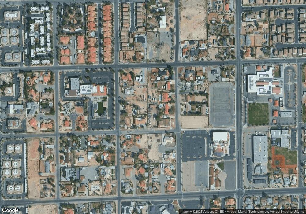
5720 Tara Ave Las Vegas, NV 89146
Estimated Value: $494,000 - $532,000
1
Bed
2
Baths
1,368
Sq Ft
$375/Sq Ft
Est. Value
About This Home
This home is located at 5720 Tara Ave, Las Vegas, NV 89146 and is currently estimated at $512,530, approximately $374 per square foot. 5720 Tara Ave is a home located in Clark County with nearby schools including Elaine Wynn Elementary School, Dr. C Owen Roundy Elementary School, and Kenny C Guinn Middle School.
Ownership History
Date
Name
Owned For
Owner Type
Purchase Details
Closed on
Apr 11, 2017
Sold by
Cole Cheryl I
Bought by
Klein Robert B and Wongcharee Krittaporn
Current Estimated Value
Home Financials for this Owner
Home Financials are based on the most recent Mortgage that was taken out on this home.
Original Mortgage
$237,500
Interest Rate
4.08%
Mortgage Type
New Conventional
Purchase Details
Closed on
Nov 19, 2003
Sold by
Marx Gordon and Marx Tamara
Bought by
Cole Cheryl I
Home Financials for this Owner
Home Financials are based on the most recent Mortgage that was taken out on this home.
Original Mortgage
$87,000
Interest Rate
5.89%
Mortgage Type
Seller Take Back
Create a Home Valuation Report for This Property
The Home Valuation Report is an in-depth analysis detailing your home's value as well as a comparison with similar homes in the area
Home Values in the Area
Average Home Value in this Area
Purchase History
| Date | Buyer | Sale Price | Title Company |
|---|---|---|---|
| Klein Robert B | $250,000 | Nevada Title Las Vegas | |
| Cole Cheryl I | $112,000 | Land Title Of Nevada |
Source: Public Records
Mortgage History
| Date | Status | Borrower | Loan Amount |
|---|---|---|---|
| Previous Owner | Klein Robert B | $237,500 | |
| Previous Owner | Cole Cheryl I | $87,000 |
Source: Public Records
Tax History Compared to Growth
Tax History
| Year | Tax Paid | Tax Assessment Tax Assessment Total Assessment is a certain percentage of the fair market value that is determined by local assessors to be the total taxable value of land and additions on the property. | Land | Improvement |
|---|---|---|---|---|
| 2025 | $2,916 | $144,641 | $59,500 | $85,141 |
| 2024 | $2,831 | $144,641 | $59,500 | $85,141 |
| 2023 | $2,284 | $138,876 | $59,500 | $79,376 |
| 2022 | $2,749 | $124,993 | $52,500 | $72,493 |
| 2021 | $2,669 | $115,141 | $46,550 | $68,591 |
| 2020 | $2,588 | $113,493 | $45,500 | $67,993 |
| 2019 | $2,557 | $103,532 | $36,750 | $66,782 |
| 2018 | $2,440 | $100,841 | $36,750 | $64,091 |
| 2017 | $3,028 | $103,238 | $36,750 | $66,488 |
| 2016 | $2,284 | $86,643 | $18,900 | $67,743 |
| 2015 | $2,279 | $55,006 | $15,750 | $39,256 |
| 2014 | $1,614 | $61,910 | $15,750 | $46,160 |
Source: Public Records
Map
Nearby Homes
- 2675 Westwind Rd
- 2885 Duneville St
- 5785 Edna Ave
- 2625 Westwind Rd
- 2645 Lindell Rd
- 5414 Stampa Ave
- 0 Palmyra Unit 2715168
- 5336 Regal Ave
- 3090 Westwind Rd
- 3085 Duneville St
- 0 S Bronco St
- 2691 Rimpacific Cir
- 2814 Edmond St Unit 2
- 5181 Eldora Ave
- 2622 Rimpacific Cir
- 2780 El Camino Rd
- 2920 El Camino Rd
- 5117 Eldora Ave Unit 4
- 5045 Stampa Ave
- 5048 Via de Palma Dr
- 2765 Westwind Rd
- 2745 Westwind Rd
- 2766 Duneville St
- 5770 Tara Ave
- 2785 Westwind Rd
- 5737 Eldora Ave
- 2715 Westwind Rd
- 2780 Duneville St
- 5735 Eldora Ave
- 5700 Eldora Ave
- 2835 Westwind Rd
- 2766 Westwind Rd
- 2750 Westwind Rd
- 2820 Duneville St
- 5757 Eldora Ave
- 2281 Westwind Rd
- 0 Westwind Rd
- 2714 Westwind Rd
- 2810 Duneville St
- 5613 Eldora Ave
