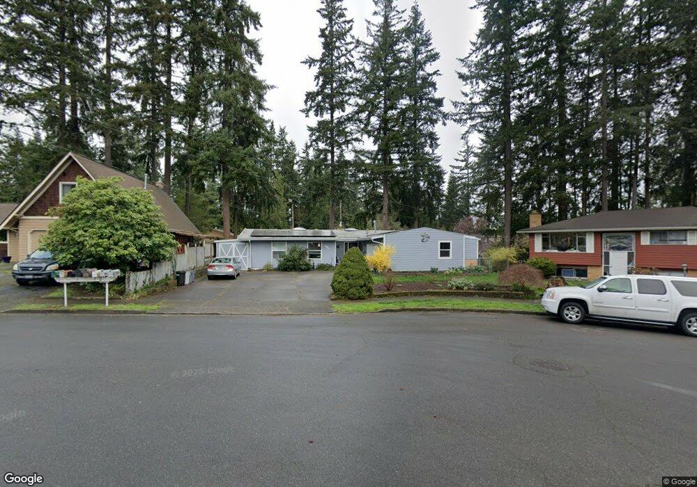
5721 182nd Place SW Lynnwood, WA 98037
Maple Park - Cherry Hill NeighborhoodEstimated Value: $763,000 - $898,000
3
Beds
3
Baths
1,558
Sq Ft
$513/Sq Ft
Est. Value
About This Home
This home is located at 5721 182nd Place SW, Lynnwood, WA 98037 and is currently estimated at $798,926, approximately $512 per square foot. 5721 182nd Place SW is a home located in Snohomish County with nearby schools including Lynndale Elementary School, Meadowdale Middle School, and Meadowdale High School.
Ownership History
Date
Name
Owned For
Owner Type
Purchase Details
Closed on
Jan 10, 2023
Sold by
Past Kathleen Marie
Bought by
Haufle Kenneth Robert and Johnson Cecilia Marla
Current Estimated Value
Home Financials for this Owner
Home Financials are based on the most recent Mortgage that was taken out on this home.
Original Mortgage
$444,500
Outstanding Balance
$430,064
Interest Rate
6.33%
Mortgage Type
New Conventional
Estimated Equity
$368,862
Purchase Details
Closed on
Feb 21, 2008
Sold by
Past Kathleen M
Bought by
Johnson Orlin J and Johnson Patricia N
Purchase Details
Closed on
Nov 29, 1995
Sold by
Johnson Orlin J and Johnson Patricia N
Bought by
Past Kathleen M
Create a Home Valuation Report for This Property
The Home Valuation Report is an in-depth analysis detailing your home's value as well as a comparison with similar homes in the area
Home Values in the Area
Average Home Value in this Area
Purchase History
| Date | Buyer | Sale Price | Title Company |
|---|---|---|---|
| Haufle Kenneth Robert | -- | Wfg National Title Company Of | |
| Johnson Orlin J | -- | None Available | |
| Past Kathleen M | -- | -- |
Source: Public Records
Mortgage History
| Date | Status | Borrower | Loan Amount |
|---|---|---|---|
| Open | Haufle Kenneth Robert | $444,500 |
Source: Public Records
Tax History Compared to Growth
Tax History
| Year | Tax Paid | Tax Assessment Tax Assessment Total Assessment is a certain percentage of the fair market value that is determined by local assessors to be the total taxable value of land and additions on the property. | Land | Improvement |
|---|---|---|---|---|
| 2025 | $4,160 | $557,600 | $458,000 | $99,600 |
| 2024 | $4,160 | $533,600 | $434,000 | $99,600 |
| 2023 | $4,454 | $594,800 | $489,000 | $105,800 |
| 2022 | $634 | $416,700 | $327,000 | $89,700 |
| 2020 | $706 | $418,500 | $280,000 | $138,500 |
| 2019 | $732 | $388,400 | $250,000 | $138,400 |
| 2018 | $731 | $344,500 | $221,000 | $123,500 |
| 2017 | $699 | $299,500 | $188,000 | $111,500 |
| 2016 | $648 | $273,100 | $166,000 | $107,100 |
| 2015 | $1,159 | $253,400 | $152,000 | $101,400 |
| 2013 | $973 | $211,000 | $120,000 | $91,000 |
Source: Public Records
Map
Nearby Homes
- 18131 60th Ave W
- 18109 56th Ave W
- 5717 186th Place SW
- 5731 186th Place SW Unit A
- 5830 186th Place SW
- 5902 178th St SW
- 5838 186th Place SW
- 17705 58th Place W
- 5607 178th St SW
- 6214 185th St SW
- 6324 183rd Place SW
- 5220 176th St SW Unit 27
- 5220 176th St SW Unit 8
- 18501 52nd Ave W Unit 22
- 18501 52nd Ave W Unit 6
- 18501 52nd Ave W Unit 54
- 18501 52nd Ave W Unit 37
- 18501 52nd Ave W Unit 88
- 18501 52nd Ave W Unit 84
- 5707 173rd Place SW
- 5711 182nd Place SW
- 5731 182nd Place SW
- 5720 181st Place SW
- 5714 181st Place SW
- 5730 181st Place SW
- 5712 182nd Place SW
- 5805 182nd Place SW
- 5732 182nd Place SW
- 5806 181st Place SW
- 5704 181st Place SW
- 5716 182nd Place SW
- 5724 182nd Place SW
- 5813 182nd Place SW
- 5721 181st Place SW
- 18228 56th Ave W
- 5729 181st Place SW
- 5713 181st Place SW
- 18205 58th Place W
- 18224 56th Ave W
- 18227 56th Ave W