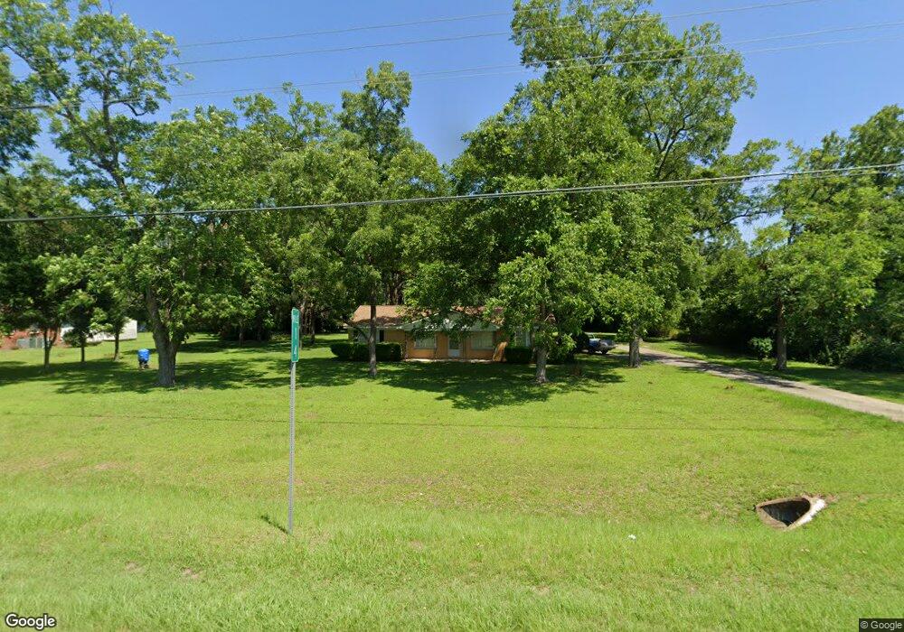
5722 Newton Rd Albany, GA 31701
Estimated Value: $105,498 - $146,000
3
Beds
2
Baths
1,189
Sq Ft
$106/Sq Ft
Est. Value
About This Home
This home is located at 5722 Newton Rd, Albany, GA 31701 and is currently estimated at $126,125, approximately $106 per square foot. 5722 Newton Rd is a home located in Dougherty County with nearby schools including Martin Luther King Jr. Elementary School, Southside Middle School, and Monroe High School.
Ownership History
Date
Name
Owned For
Owner Type
Purchase Details
Closed on
Nov 15, 2012
Sold by
Sceals Robert L
Bought by
Bray James E
Current Estimated Value
Home Financials for this Owner
Home Financials are based on the most recent Mortgage that was taken out on this home.
Original Mortgage
$62,349
Outstanding Balance
$42,798
Interest Rate
3.25%
Mortgage Type
FHA
Estimated Equity
$83,327
Purchase Details
Closed on
Sep 29, 2004
Sold by
Sceals Robert L and Sceals Shirley F
Bought by
Sceals Robert L
Purchase Details
Closed on
Sep 15, 1967
Sold by
Broadaway John C
Bought by
Sceals Robert L
Create a Home Valuation Report for This Property
The Home Valuation Report is an in-depth analysis detailing your home's value as well as a comparison with similar homes in the area
Home Values in the Area
Average Home Value in this Area
Purchase History
| Date | Buyer | Sale Price | Title Company |
|---|---|---|---|
| Bray James E | $63,500 | -- | |
| Sceals Robert L | -- | -- | |
| Sceals Robert L | -- | -- |
Source: Public Records
Mortgage History
| Date | Status | Borrower | Loan Amount |
|---|---|---|---|
| Open | Bray James E | $62,349 |
Source: Public Records
Tax History Compared to Growth
Tax History
| Year | Tax Paid | Tax Assessment Tax Assessment Total Assessment is a certain percentage of the fair market value that is determined by local assessors to be the total taxable value of land and additions on the property. | Land | Improvement |
|---|---|---|---|---|
| 2024 | $1,177 | $27,480 | $3,360 | $24,120 |
| 2023 | $346 | $27,480 | $3,360 | $24,120 |
| 2022 | $1,181 | $27,480 | $3,360 | $24,120 |
| 2021 | $1,093 | $27,480 | $3,360 | $24,120 |
| 2020 | $1,095 | $27,480 | $3,360 | $24,120 |
| 2019 | $1,097 | $27,480 | $3,360 | $24,120 |
| 2018 | $1,100 | $27,480 | $3,360 | $24,120 |
| 2017 | $1,024 | $27,480 | $3,360 | $24,120 |
| 2016 | $1,024 | $27,480 | $3,360 | $24,120 |
| 2015 | $1,026 | $27,480 | $3,360 | $24,120 |
| 2014 | $1,001 | $27,200 | $3,080 | $24,120 |
Source: Public Records
Map
Nearby Homes
- 5618 Newton Rd
- 5616 Newton Rd
- 2206 Willingham Dr
- 1610 Lily Pond Rd
- 2316 Oak Haven Dr
- 5404 Paulk Dr
- 000 Lily Pond Rd
- 1503 Lily Pond Rd
- 5902 Woodcliff St
- 2307 Evergreen Dr
- 2101 Goldendale Ln
- 2124 Longleaf Dr
- 6224 Newton Rd
- 2613 Lonesome Rd
- 1110 Kreg Ave
- 2610 North Ave
- 0000 Hamilton Dr
- 6102 Newton Rd
- 6413 Newton Rd
- 620 Marshall Ln
- 5720 Newton Rd
- 5726 Newton Rd
- 5718 Newton Rd
- 1721 Lily Pond Rd
- 1719 Lily Pond Rd
- 1717 Lily Pond Rd
- 1715 Lily Pond Rd
- 5731 Newton Rd
- 2105 Howard Dr
- 1713 Lily Pond Rd
- 0 Lily Pond Rd Unit 7528486
- 0 Lily Pond Rd Unit 7366846
- 2116 Howard Dr
- 1711 Lily Pond Rd
- 1803 Lily Pond Rd
- 5609 Newton Rd
- 2107 Howard Dr
- 1516 Lily Pond Rd
- 1206 Lily Pond Rd
- 2100 Lily Pond Rd