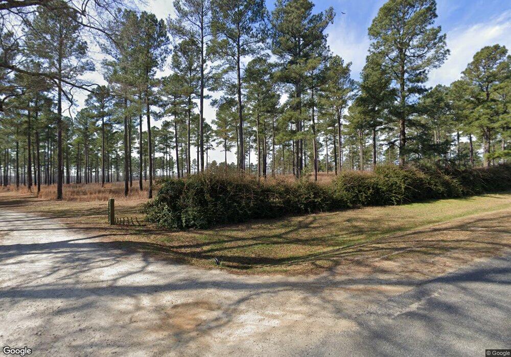
5723 Bowdens Pond Rd Dearing, GA 30808
Estimated Value: $153,000 - $2,659,915
4
Beds
5
Baths
5,129
Sq Ft
$223/Sq Ft
Est. Value
About This Home
This home is located at 5723 Bowdens Pond Rd, Dearing, GA 30808 and is currently estimated at $1,142,638, approximately $222 per square foot. 5723 Bowdens Pond Rd is a home with nearby schools including Thomson High School.
Ownership History
Date
Name
Owned For
Owner Type
Purchase Details
Closed on
Jul 1, 2002
Sold by
West Eck Partners L P
Bought by
Fort Creek Farms Llc
Current Estimated Value
Purchase Details
Closed on
Feb 28, 2002
Sold by
Dobbins W Bowden Aka Wal
Bought by
West Eck Partners L P
Purchase Details
Closed on
Jul 16, 1998
Sold by
Huff David D
Bought by
Huff Kenneth W
Purchase Details
Closed on
Jan 16, 1998
Sold by
Hugh Walter and Hugh Dobbins
Bought by
Huff David D
Create a Home Valuation Report for This Property
The Home Valuation Report is an in-depth analysis detailing your home's value as well as a comparison with similar homes in the area
Home Values in the Area
Average Home Value in this Area
Purchase History
| Date | Buyer | Sale Price | Title Company |
|---|---|---|---|
| Fort Creek Farms Llc | $747,000 | -- | |
| West Eck Partners L P | $711,300 | -- | |
| Huff Kenneth W | -- | -- | |
| Huff David D | $1,000 | -- |
Source: Public Records
Tax History Compared to Growth
Tax History
| Year | Tax Paid | Tax Assessment Tax Assessment Total Assessment is a certain percentage of the fair market value that is determined by local assessors to be the total taxable value of land and additions on the property. | Land | Improvement |
|---|---|---|---|---|
| 2024 | $14,379 | $973,691 | $579,522 | $394,169 |
| 2023 | $14,632 | $957,072 | $579,522 | $377,550 |
| 2022 | $13,421 | $914,419 | $579,522 | $334,897 |
| 2021 | $11,867 | $835,333 | $568,894 | $266,439 |
| 2020 | $11,931 | $643,949 | $382,897 | $261,052 |
| 2019 | $11,926 | $643,949 | $382,897 | $261,052 |
| 2018 | $11,798 | $643,949 | $382,897 | $261,052 |
| 2017 | $16,157 | $643,949 | $382,897 | $261,052 |
| 2016 | $16,157 | $643,949 | $382,897 | $261,052 |
| 2015 | -- | $861,448 | $600,396 | $261,052 |
| 2014 | -- | $853,003 | $600,396 | $252,606 |
| 2013 | -- | $0 | $0 | $0 |
Source: Public Records
Map
Nearby Homes
- 2135 Fort Creek Rd
- 2111 Fort Creek Rd
- 0 Adams-Reeves Rd Unit 523648
- 2786 Tudor Rd
- 0 Whitaker Rd Unit 540660
- 4327 Iron Hill Rd
- 4062 Horsham Trail
- 5639 Purvis School Rd
- 0 Adams Chapel Rd
- 290 Neals Mill Rd
- 259 S Main St
- 0 Mitchner Rd Unit 548843
- 122 First St
- 3946 Radford Gay Rd
- 3191 Old Augusta Rd
- 3171 Old Augusta Rd
- 2522 Ellington Airline Rd
- 833 Sweet Grass Cir
- 832 Sweet Grass Cir
- 830 Sweet Grass Cir
- 5652 Bowdens Pond Rd
- 5620 Bowdens Pond Rd
- 5627 Bowdens Pond Rd
- 5571 Bowdens Pond Rd
- 5567 Bowdens Pond Rd
- 5790 Bowdens Pond Rd
- 5790 Bowdens Pond Rd
- 5485 Bowdens Pond Rd
- 5575 Bowdens Pond Rd
- 5817 Goett Rd
- 5799 Goett Rd
- 5918 Bowdens Pond Rd
- 6010 Goett Rd
- 5807 Goett Rd
- 5942 Goett Rd
- 5918 Goett Rd
- 5950 Bowdens Pond Rd
- 5924 Goett Rd
- 5855 Goett Rd
- 5872 Goett Rd
