5725 Drewry Farm Ln Cincinnati, OH 45243
Estimated Value: $1,834,000 - $2,226,000
6
Beds
4
Baths
5,320
Sq Ft
$381/Sq Ft
Est. Value
About This Home
This home is located at 5725 Drewry Farm Ln, Cincinnati, OH 45243 and is currently estimated at $2,024,970, approximately $380 per square foot. 5725 Drewry Farm Ln is a home located in Hamilton County with nearby schools including Indian Hill Elementary School, Indian Hill Primary School, and Indian Hill Middle School.
Ownership History
Date
Name
Owned For
Owner Type
Purchase Details
Closed on
Aug 10, 1996
Sold by
Alamin Khosrow and Alamin Julie A
Bought by
Hughes David W and Hughes Jill S
Current Estimated Value
Purchase Details
Closed on
Mar 5, 1995
Sold by
Alamin Khosrow and Alamin Julie A
Bought by
Alamin Family Partnership
Create a Home Valuation Report for This Property
The Home Valuation Report is an in-depth analysis detailing your home's value as well as a comparison with similar homes in the area
Home Values in the Area
Average Home Value in this Area
Purchase History
| Date | Buyer | Sale Price | Title Company |
|---|---|---|---|
| Hughes David W | -- | -- | |
| Alamin Family Partnership | -- | -- |
Source: Public Records
Tax History Compared to Growth
Tax History
| Year | Tax Paid | Tax Assessment Tax Assessment Total Assessment is a certain percentage of the fair market value that is determined by local assessors to be the total taxable value of land and additions on the property. | Land | Improvement |
|---|---|---|---|---|
| 2024 | $16,035 | $457,191 | $272,027 | $185,164 |
| 2023 | $16,072 | $457,191 | $272,027 | $185,164 |
| 2022 | $14,211 | $334,824 | $204,022 | $130,802 |
| 2021 | $13,887 | $334,824 | $204,022 | $130,802 |
| 2020 | $12,135 | $334,824 | $204,022 | $130,802 |
| 2019 | $12,437 | $321,948 | $196,175 | $125,773 |
| 2018 | $12,461 | $321,948 | $196,175 | $125,773 |
| 2017 | $11,868 | $321,948 | $196,175 | $125,773 |
| 2016 | $12,388 | $334,114 | $204,775 | $129,339 |
| 2015 | $12,425 | $334,114 | $204,775 | $129,339 |
| 2014 | $12,330 | $334,114 | $204,775 | $129,339 |
| 2013 | $12,924 | $337,488 | $206,843 | $130,645 |
Source: Public Records
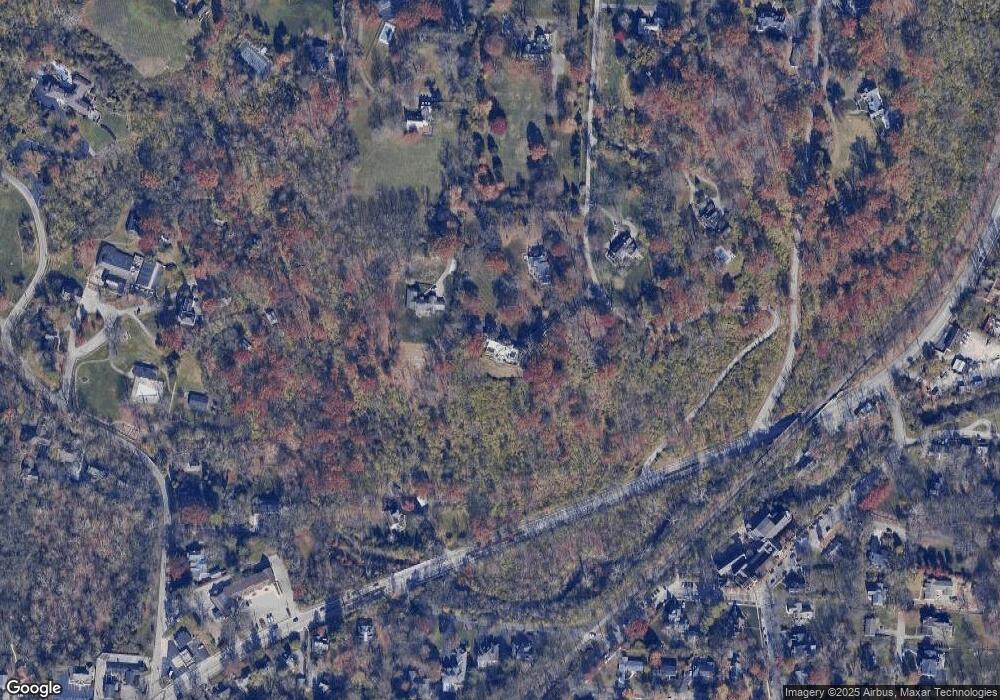
Map
Nearby Homes
- 214 Rugby Ave
- 34 Laurel Ave
- The Norris Plan at Terrace Ridge
- The Sycamore Plan at Terrace Ridge
- The Jackson Plan at Terrace Ridge
- The Laurel Plan at Terrace Ridge
- The Rockport Plan at Terrace Ridge
- The Kennedy Plan at Terrace Ridge
- The Reily Plan at Terrace Ridge
- The Springfield Plan at Terrace Ridge
- The Paxton Plan at Terrace Ridge
- The Mead Plan at Terrace Ridge
- The Arrowhead Plan at Terrace Ridge
- The Wyoming Plan at Terrace Ridge
- The Alder Plan at Terrace Ridge
- The Nantucket Plan at Terrace Ridge
- The Shawnee Plan at Terrace Ridge
- 219 Laurel Ave
- 141 Gatch St
- 63 Gatch St
- 5745 Drewry Farm Ln
- 5755 Drewry Farm Ln
- 598 Wooster Pike
- 598 Wooster Pike
- 5750 Drewry Farm Ln
- 5750 Drewry Farm Ln Unit i
- 5780 Drewry Farm Ln
- 5955 Park Rd
- 3 Given Ln
- 305 New St
- 111 Terrace Place
- 5825 Drewry Farm Ln
- 315 New St
- 325 New St
- 2 Given Ln
- 601 Wooster Pike
- 220 Cambridge Ave
- 110 Terrace Place
- 614 Wooster Pike Unit 9
- 614 Wooster Pike Unit 10