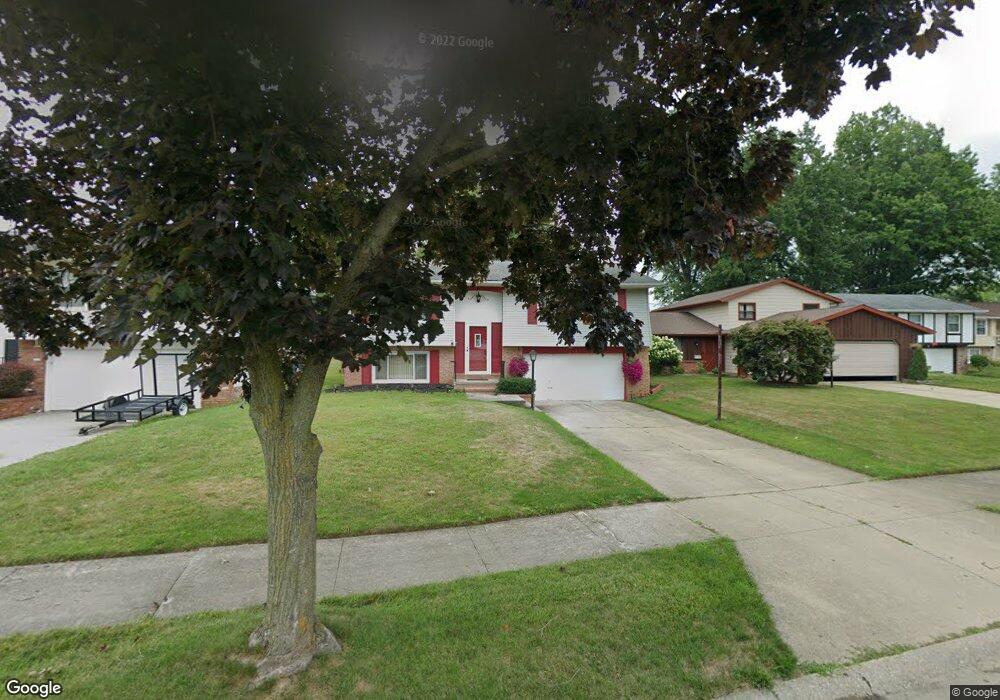
5725 E 146th St Maple Heights, OH 44137
Estimated Value: $169,000 - $219,000
3
Beds
2
Baths
2,284
Sq Ft
$81/Sq Ft
Est. Value
About This Home
This home is located at 5725 E 146th St, Maple Heights, OH 44137 and is currently estimated at $184,517, approximately $80 per square foot. 5725 E 146th St is a home located in Cuyahoga County with nearby schools including Abraham Lincoln Elementary School, Rockside/ J.F. Kennedy School, and Barack Obama School.
Ownership History
Date
Name
Owned For
Owner Type
Purchase Details
Closed on
Feb 11, 2008
Sold by
Chillious Kevin A and Chillious Toni R
Bought by
Chillious Kevin A and Chillious Toni R
Current Estimated Value
Purchase Details
Closed on
Dec 6, 1989
Sold by
Nichols Steven P
Bought by
Chillious Kevin A
Purchase Details
Closed on
Jun 23, 1978
Bought by
Nichols Steven P
Purchase Details
Closed on
Jul 20, 1977
Bought by
Northern Industries Inc
Purchase Details
Closed on
May 12, 1977
Sold by
Seminsky Kathleen
Bought by
Norther Industies Inc
Purchase Details
Closed on
Jan 1, 1975
Bought by
Seminsky Kathleen
Create a Home Valuation Report for This Property
The Home Valuation Report is an in-depth analysis detailing your home's value as well as a comparison with similar homes in the area
Home Values in the Area
Average Home Value in this Area
Purchase History
| Date | Buyer | Sale Price | Title Company |
|---|---|---|---|
| Chillious Kevin A | -- | Attorney | |
| Chillious Kevin A | $78,000 | -- | |
| Nichols Steven P | $59,700 | -- | |
| Northern Industries Inc | -- | -- | |
| Norther Industies Inc | -- | -- | |
| Seminsky Kathleen | -- | -- |
Source: Public Records
Tax History
| Year | Tax Paid | Tax Assessment Tax Assessment Total Assessment is a certain percentage of the fair market value that is determined by local assessors to be the total taxable value of land and additions on the property. | Land | Improvement |
|---|---|---|---|---|
| 2024 | $4,957 | $57,050 | $7,840 | $49,210 |
| 2023 | $3,649 | $35,950 | $5,780 | $30,170 |
| 2022 | $3,635 | $35,950 | $5,780 | $30,170 |
| 2021 | $3,887 | $35,950 | $5,780 | $30,170 |
| 2020 | $3,294 | $27,230 | $4,380 | $22,860 |
| 2019 | $3,279 | $77,800 | $12,500 | $65,300 |
| 2018 | $3,263 | $27,230 | $4,380 | $22,860 |
| 2017 | $3,212 | $26,150 | $3,610 | $22,540 |
| 2016 | $3,106 | $26,150 | $3,610 | $22,540 |
| 2015 | $5,345 | $26,150 | $3,610 | $22,540 |
| 2014 | $8,828 | $26,950 | $3,710 | $23,240 |
Source: Public Records
Map
Nearby Homes
- 14404 Tokay Ave
- 14619 Tokay Ave
- 14214 Tabor Ave
- 14203 Tabor Ave
- 14808 James Ave
- 14413 Krems Ave
- 14012 Wheeler Rd
- 13905 Thraves Ave
- 13804 Rockside Rd
- 14320 Janice Dr
- 15313 Fernway Dr
- 15817 Northwood Ave
- 6039 E 135th St
- 13810 Martin Dr
- 13616 Oakview Blvd
- 16111 #A8 Maple Park Dr
- 13741 Grove Dr
- 13305 Rockside Rd
- 13217 Havana Rd
- 13410 Hathaway Rd
- 5721 E 146th St
- 5729 E 146th St
- 0 E 146th St
- 5733 E 146th St
- 14604 Brunswick Ave
- 14608 Brunswick Ave
- 14600 Brunswick Ave
- 14612 Brunswick Ave
- 5737 E 146th St
- 14616 Brunswick Ave
- 5724 E 146th St
- 5728 E 146th St
- 5732 E 146th St
- 5720 E 146th St
- 14520 Brunswick Ave
- 14700 Brunswick Ave
- 5736 E 146th St
- 14704 Brunswick Ave
- 5741 E 146th St
- 14512 Brunswick Ave
Your Personal Tour Guide
Ask me questions while you tour the home.