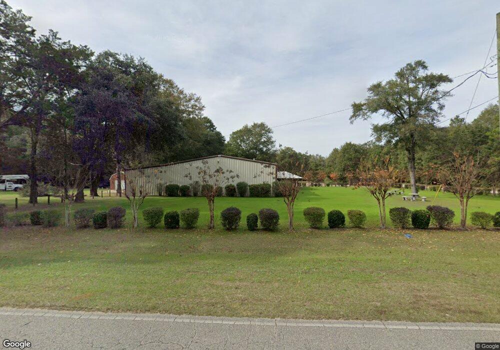
5725 Jarrett Rd Eight Mile, AL 36613
Mohawk NeighborhoodEstimated Value: $536,628
--
Bed
1
Bath
5,000
Sq Ft
$107/Sq Ft
Est. Value
About This Home
This home is located at 5725 Jarrett Rd, Eight Mile, AL 36613 and is currently estimated at $536,628, approximately $107 per square foot. 5725 Jarrett Rd is a home located in Mobile County with nearby schools including Indian Springs Elementary School, Semmes Middle School, and Mattie T Blount High School.
Ownership History
Date
Name
Owned For
Owner Type
Purchase Details
Closed on
Sep 26, 2013
Sold by
Cobb Jessie R and Cobb Janet M
Bought by
C & C Alliance Llc
Current Estimated Value
Home Financials for this Owner
Home Financials are based on the most recent Mortgage that was taken out on this home.
Original Mortgage
$174,000
Outstanding Balance
$45,977
Interest Rate
4.53%
Mortgage Type
Commercial
Estimated Equity
$490,651
Purchase Details
Closed on
Jul 15, 2004
Sold by
Sellers Larry L and Sellers Diane C
Bought by
Cobb Jessie R and Cobb Janet M
Create a Home Valuation Report for This Property
The Home Valuation Report is an in-depth analysis detailing your home's value as well as a comparison with similar homes in the area
Home Values in the Area
Average Home Value in this Area
Purchase History
| Date | Buyer | Sale Price | Title Company |
|---|---|---|---|
| C & C Alliance Llc | $207,400 | None Available | |
| Cobb Jessie R | -- | -- |
Source: Public Records
Mortgage History
| Date | Status | Borrower | Loan Amount |
|---|---|---|---|
| Open | C & C Alliance Llc | $174,000 |
Source: Public Records
Tax History Compared to Growth
Tax History
| Year | Tax Paid | Tax Assessment Tax Assessment Total Assessment is a certain percentage of the fair market value that is determined by local assessors to be the total taxable value of land and additions on the property. | Land | Improvement |
|---|---|---|---|---|
| 2024 | $4,819 | $99,360 | $15,160 | $84,200 |
| 2023 | $4,819 | $76,020 | $15,160 | $60,860 |
| 2022 | $3,751 | $77,340 | $15,040 | $62,300 |
| 2021 | $3,375 | $69,580 | $6,300 | $63,280 |
| 2020 | $3,445 | $71,040 | $6,300 | $64,740 |
| 2019 | $2,628 | $54,180 | $0 | $0 |
| 2018 | $2,678 | $55,220 | $0 | $0 |
| 2017 | $4,685 | $96,600 | $0 | $0 |
| 2016 | $3,793 | $78,200 | $0 | $0 |
| 2013 | -- | $0 | $0 | $0 |
Source: Public Records
Map
Nearby Homes
- 5626 Jarrett Rd
- 4803 Outlaw Rd
- 3401 Angelas Ct
- 3377 Angelas Ct
- 3433 Angelas Ct
- 3415 Angelas Ct
- 0 Jarrett Rd Unit 7648509
- 0 Jarrett Rd Unit 18128365
- 0 Jarrett Rd Unit 7268924
- 5123 Bellcase Rd
- 5507 Henry Rd
- 4417 Highpoint Blvd
- 3362 Lacoste Rd
- 0 St Andrews Ct Unit 7571226
- 4527 Brunswick Dr
- 3401 Lacoste Rd
- 3250 Lacoste Rd
- 3373 Kings Gate Dr W
- 0 Bear Fork Rd Unit 7280325
- 0 Bear Fork Rd Unit 352171
- 3805 Jarrett Rd
- 5726 Jarrett Rd
- 5610 Jarrett Rd
- 5738 Jarrett Rd
- 5603 Jarrett Rd
- 5064 Dossett Ln
- 5105 Calkins Rd
- 5508 Jarrett Rd
- 5740 Jarrett Rd
- 5061 Calkins Rd
- 5063 Dossett Ln
- 5053 Calkins Rd
- 5053 Calkins Dr
- 5106 Calkins Rd
- 5045 Calkins Rd
- 5812 Jarrett Rd
- 5062 Calkins Rd
- 5038 Dossett Ln
- 5054 Calkins Rd
- 5041 Dossett Ln