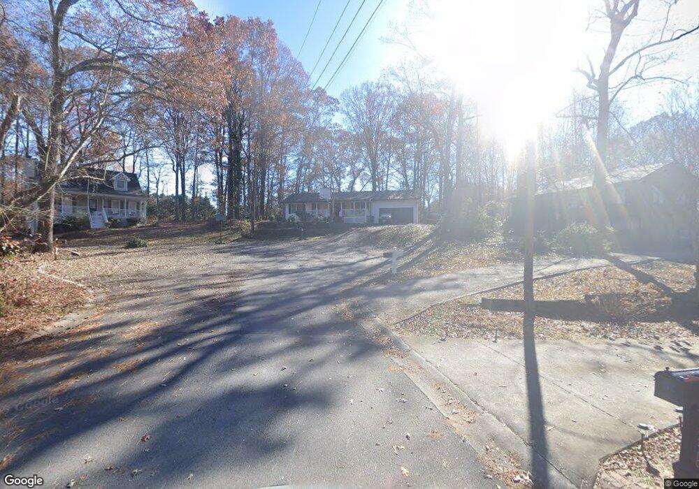
5726 Starboard Ct Buford, GA 30518
Estimated Value: $324,040 - $365,000
3
Beds
2
Baths
1,242
Sq Ft
$278/Sq Ft
Est. Value
About This Home
This home is located at 5726 Starboard Ct, Buford, GA 30518 and is currently estimated at $344,760, approximately $277 per square foot. 5726 Starboard Ct is a home with nearby schools including Buford Elementary School, Buford Academy, and Buford Senior Academy.
Ownership History
Date
Name
Owned For
Owner Type
Purchase Details
Closed on
Jan 12, 2007
Sold by
Napier James M
Bought by
Napier James M and Napier Brittany S
Current Estimated Value
Purchase Details
Closed on
Jun 18, 1997
Sold by
Kennedy Mark A and Kennedy Robin D
Bought by
Napler James M
Home Financials for this Owner
Home Financials are based on the most recent Mortgage that was taken out on this home.
Original Mortgage
$80,750
Interest Rate
7.97%
Mortgage Type
New Conventional
Create a Home Valuation Report for This Property
The Home Valuation Report is an in-depth analysis detailing your home's value as well as a comparison with similar homes in the area
Home Values in the Area
Average Home Value in this Area
Purchase History
| Date | Buyer | Sale Price | Title Company |
|---|---|---|---|
| Napier James M | -- | -- | |
| Napler James M | $85,000 | -- |
Source: Public Records
Mortgage History
| Date | Status | Borrower | Loan Amount |
|---|---|---|---|
| Previous Owner | Napler James M | $80,750 |
Source: Public Records
Tax History Compared to Growth
Tax History
| Year | Tax Paid | Tax Assessment Tax Assessment Total Assessment is a certain percentage of the fair market value that is determined by local assessors to be the total taxable value of land and additions on the property. | Land | Improvement |
|---|---|---|---|---|
| 2025 | $1,441 | $100,440 | $32,000 | $68,440 |
| 2024 | -- | $101,040 | $25,200 | $75,840 |
| 2023 | $1,402 | $97,680 | $22,000 | $75,680 |
| 2022 | $1,225 | $85,400 | $17,600 | $67,800 |
| 2021 | $947 | $75,000 | $17,600 | $57,400 |
| 2020 | $947 | $66,000 | $15,200 | $50,800 |
| 2019 | $699 | $53,960 | $12,000 | $41,960 |
| 2018 | $699 | $53,960 | $12,000 | $41,960 |
| 2016 | $584 | $45,560 | $12,000 | $33,560 |
| 2015 | $427 | $32,200 | $6,600 | $25,600 |
| 2014 | $434 | $32,200 | $6,600 | $25,600 |
Source: Public Records
Map
Nearby Homes
- 1920 Patrick Mill Place
- 1983 Anchor Way Unit 1
- 5774 Harbor Dr
- 2243 Bedstone Dr Unit 2
- 1770 Patrick Mill Place
- 5552 Little Mill Rd
- 2090 Mina Lane Dr
- 5600 Creek Dale Way
- 5601 Creek Dale Way
- 5820 Elm Tree Dr Unit 1
- 5871 Dolvin Ln
- 2030 Buford Dam Rd
- 6265 Lake Windsor Pkwy
- 1930 Marina Way
- 2015 Buford Dam Rd
- 900 Melody Ridge Ln
- 6205 Ambercrest Ct
- 2075 Pine Tree Dr Unit B2
- 2075 Pine Tree Dr Unit A3
- 5984 Dolvin Ln
- 5747 Starboard Ct Unit 2
- 5747 Starboard Ct
- 5746 Starboard Ct
- 5756 Starboard Ct
- 5756 Starboard Ct Unit 11
- 5785 Little Mill Pkwy Unit 2
- 5795 Little Mill Pkwy
- 5775 Little Mill Pkwy Unit 2
- 5765 Little Mill Pkwy
- XXXX Xxxx Pkwy
- 1999 Shipwreck Ct Unit 2
- 5805 Little Mill Pkwy
- 5755 Little Mill Pkwy Unit 2
- 1979 Shipwreck Ct
- 2019 Shipwreck Ct Unit 2
- 5780 Little Mill Pkwy Unit 2
- 5770 Little Mill Pkwy Unit 2
- 5745 Little Mill Pkwy
- 5760 Little Mill Pkwy
- 5790 Little Mill Pkwy