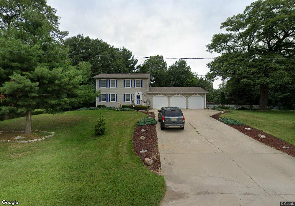
5727 S Dangl Rd Fruitport, MI 49415
Estimated Value: $293,000 - $424,000
3
Beds
2
Baths
2,686
Sq Ft
$130/Sq Ft
Est. Value
About This Home
This home is located at 5727 S Dangl Rd, Fruitport, MI 49415 and is currently estimated at $348,102, approximately $129 per square foot. 5727 S Dangl Rd is a home located in Muskegon County with nearby schools including Fruitport High School, Calvary Christian Schools, and Western Michigan Christian High School.
Ownership History
Date
Name
Owned For
Owner Type
Purchase Details
Closed on
Aug 3, 2015
Sold by
Tejchma Andrew G and Tejchma Nancy J
Bought by
Tejchma Andrew G and Join Nancy J Tejchma
Current Estimated Value
Purchase Details
Closed on
Jun 22, 2004
Sold by
Helmer Greg A and Helmer Carolynn M
Bought by
Kozan Michael J and Kozan Andrea L
Home Financials for this Owner
Home Financials are based on the most recent Mortgage that was taken out on this home.
Original Mortgage
$148,000
Outstanding Balance
$60,628
Interest Rate
3.62%
Mortgage Type
Unknown
Estimated Equity
$287,474
Create a Home Valuation Report for This Property
The Home Valuation Report is an in-depth analysis detailing your home's value as well as a comparison with similar homes in the area
Home Values in the Area
Average Home Value in this Area
Purchase History
| Date | Buyer | Sale Price | Title Company |
|---|---|---|---|
| Tejchma Andrew G | -- | Attorney | |
| Kozan Michael J | $185,000 | -- |
Source: Public Records
Mortgage History
| Date | Status | Borrower | Loan Amount |
|---|---|---|---|
| Open | Kozan Michael J | $148,000 |
Source: Public Records
Tax History Compared to Growth
Tax History
| Year | Tax Paid | Tax Assessment Tax Assessment Total Assessment is a certain percentage of the fair market value that is determined by local assessors to be the total taxable value of land and additions on the property. | Land | Improvement |
|---|---|---|---|---|
| 2025 | $3,174 | $150,100 | $0 | $0 |
| 2024 | $2,259 | $143,100 | $0 | $0 |
| 2023 | $2,225 | $140,800 | $0 | $0 |
| 2022 | $2,880 | $127,200 | $0 | $0 |
| 2021 | $2,799 | $120,900 | $0 | $0 |
| 2020 | $2,769 | $110,900 | $0 | $0 |
| 2019 | $2,265 | $90,700 | $0 | $0 |
| 2018 | $2,212 | $86,000 | $0 | $0 |
| 2017 | $2,167 | $82,900 | $0 | $0 |
| 2016 | $1,316 | $71,300 | $0 | $0 |
| 2015 | -- | $69,700 | $0 | $0 |
| 2014 | -- | $73,000 | $0 | $0 |
| 2013 | -- | $64,000 | $0 | $0 |
Source: Public Records
Map
Nearby Homes
- VL Farr Rd
- 2660 Primrose Dr Unit 9
- 0 Primrose Dr
- 2754 Spring Green Dr Unit 26
- 2809 Farr Rd
- 1955 Lowe Dr
- 6112 Stahl Dr Unit 15
- 6108 Stahl Unit 13
- 2426 Eagle Ridge
- 6282 Sturgeon Run
- 6250 Sturgeon Run
- 6218 Sturgeon Run
- 2507 Gray Wolf Way
- 2508 Gray Wolf Way
- 2478 Gray Wolf Way
- 2360 Bethie Rd
- 6234 Sturgeon Run
- 2490 Gray Wolf Way
- 6378 Airline Rd
- 6268 Sturgeon Run
- 5717 S Dangl Rd
- 5757 S Dangl Rd
- 3121 S Dangl Ct
- 3120 S Dangl Ct
- 5701 S Dangl Rd
- 5777 S Dangl Rd
- 3109 S Dangl Ct
- 3156 E Mount Garfield Rd
- 3156 E Mt Garfield Rd
- 3110 S Dangl Ct
- 5581 Airline Rd
- 5795 S Dangl Rd
- 5549 Airline Rd
- 5634 Airline Rd
- 5594 Airline Rd
- 3240 E Mount Garfield Rd
- 5580 Airline Rd
- 5531 Airline Rd
- 3110 E Mount Garfield Rd
- 5531 Airline Hwy