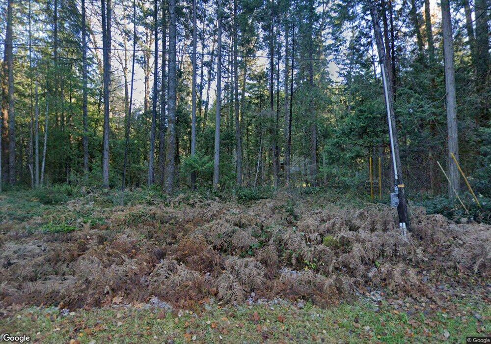
57286 N Bank Rd McKenzie Bridge, OR 97413
Estimated Value: $473,000 - $607,000
3
Beds
2
Baths
1,538
Sq Ft
$358/Sq Ft
Est. Value
About This Home
This home is located at 57286 N Bank Rd, McKenzie Bridge, OR 97413 and is currently estimated at $550,951, approximately $358 per square foot. 57286 N Bank Rd is a home located in Lane County with nearby schools including Mckenzie Elementary School.
Ownership History
Date
Name
Owned For
Owner Type
Purchase Details
Closed on
Feb 20, 2018
Sold by
Stross Barbara
Bought by
Barbara Stross Revocable Living Trust and Stross
Current Estimated Value
Purchase Details
Closed on
Feb 13, 2018
Sold by
Stross Barbara
Bought by
Livin Stross Barbara and Livin Barbara Stross Revocable
Purchase Details
Closed on
Apr 11, 2003
Sold by
Stross Fred H and Stross Helen C
Bought by
Stross Fred H and Stross Helen C
Create a Home Valuation Report for This Property
The Home Valuation Report is an in-depth analysis detailing your home's value as well as a comparison with similar homes in the area
Home Values in the Area
Average Home Value in this Area
Purchase History
| Date | Buyer | Sale Price | Title Company |
|---|---|---|---|
| Barbara Stross Revocable Living Trust | -- | None Listed On Document | |
| Livin Stross Barbara | -- | None Available | |
| Stross Fred H | -- | -- |
Source: Public Records
Tax History Compared to Growth
Tax History
| Year | Tax Paid | Tax Assessment Tax Assessment Total Assessment is a certain percentage of the fair market value that is determined by local assessors to be the total taxable value of land and additions on the property. | Land | Improvement |
|---|---|---|---|---|
| 2024 | $3,092 | $314,344 | -- | -- |
| 2023 | $3,092 | $305,189 | $0 | $0 |
| 2022 | $2,877 | $296,300 | $0 | $0 |
| 2021 | $2,797 | $287,670 | $0 | $0 |
| 2020 | $2,696 | $279,292 | $0 | $0 |
| 2019 | $2,587 | $271,158 | $0 | $0 |
| 2018 | $2,505 | $255,593 | $0 | $0 |
| 2017 | $2,400 | $255,593 | $0 | $0 |
| 2016 | $2,833 | $248,149 | $0 | $0 |
| 2015 | $2,782 | $240,921 | $0 | $0 |
| 2014 | $2,737 | $233,904 | $0 | $0 |
Source: Public Records
Map
Nearby Homes
- 57255 N Bank Rd
- 56642 Mckenzie Hwy
- 56483 Mckenzie Hwy Unit 1
- 56483 Mckenzie Hwy
- 56411 Mckenzie Hwy Unit 6
- 0 Alma Dr Unit 155780752
- 56294 Hall Dr
- 0 King Rd E Unit 154043130
- 0 McKenzie River Dr Unit 1800 613921739
- 54432 Mckenzie Hwy Unit 38
- 54432 Mckenzie Hwy Unit 18
- 54432 Mckenzie Hwy Unit 37
- 54432 Mckenzie Hwy Unit 24
- 54432 Mckenzie Hwy Unit 23
- 54432 Mckenzie Hwy Unit 9
- 54444 McKenzie River Dr
- 91569 Dearborn Island Rd
- 91747 Blue River Reservoir Rd
- 91737 Blue River Reservoir Rd
- 52984 Mckenzie Hwy
- 57300 N Bank Rd
- 57311 N Bank Rd
- 57285 N Bank Rd
- 57344 N Bank Rd
- 57330 N Bank Rd
- 57333 N Bank Rd
- 57341 N Bank Rd
- 57111 N Bank Rd
- 57118 N Bank Rd
- 57381 N Bank Rd
- 57387 N Bank Rd
- 57041 N Bank Rd
- 57101 N Bank Rd
- 57075 N Bank Rd
- 57099 N Bank Rd
- 57326 N Bank Rd Unit 1
- 57326 N Bank Rd
- 57063 N Bank Rd
- 57096 N Bank Rd Unit 7
