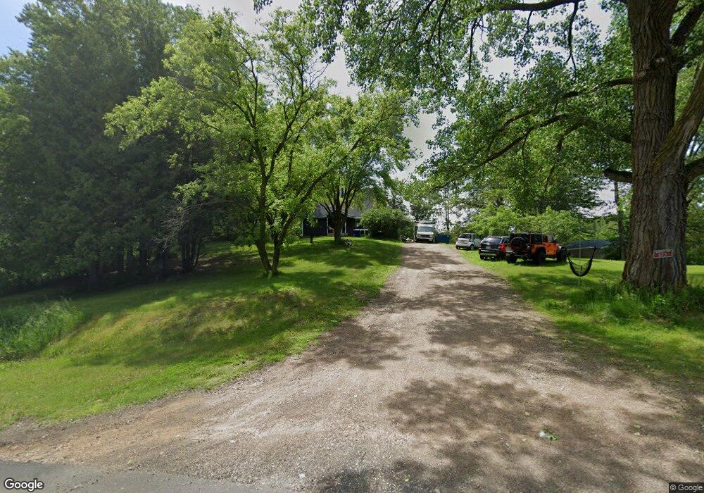
573 155th Ave Somerset, WI 54025
Estimated Value: $288,000 - $440,000
--
Bed
--
Bath
--
Sq Ft
3.56
Acres
About This Home
This home is located at 573 155th Ave, Somerset, WI 54025 and is currently estimated at $362,595. 573 155th Ave is a home located in St. Croix County with nearby schools including Somerset Elementary School, Somerset Middle School, and Somerset High School.
Ownership History
Date
Name
Owned For
Owner Type
Purchase Details
Closed on
Aug 4, 2021
Sold by
Radabaugh Brittany R
Bought by
Tengvall Kyle B
Current Estimated Value
Purchase Details
Closed on
Oct 16, 2017
Sold by
Hanson Susan I and Hanson Susan
Bought by
Tengvall Kyle B and Cormican Cathryn C
Home Financials for this Owner
Home Financials are based on the most recent Mortgage that was taken out on this home.
Original Mortgage
$156,750
Interest Rate
3.78%
Mortgage Type
New Conventional
Create a Home Valuation Report for This Property
The Home Valuation Report is an in-depth analysis detailing your home's value as well as a comparison with similar homes in the area
Home Values in the Area
Average Home Value in this Area
Purchase History
| Date | Buyer | Sale Price | Title Company |
|---|---|---|---|
| Tengvall Kyle B | -- | None Available | |
| Tengvall Kyle B | $165,000 | -- |
Source: Public Records
Mortgage History
| Date | Status | Borrower | Loan Amount |
|---|---|---|---|
| Previous Owner | Tengvall Kyle B | $156,750 |
Source: Public Records
Tax History Compared to Growth
Tax History
| Year | Tax Paid | Tax Assessment Tax Assessment Total Assessment is a certain percentage of the fair market value that is determined by local assessors to be the total taxable value of land and additions on the property. | Land | Improvement |
|---|---|---|---|---|
| 2024 | $26 | $274,400 | $114,500 | $159,900 |
| 2023 | $2,779 | $274,400 | $114,500 | $159,900 |
| 2022 | $2,688 | $274,400 | $114,500 | $159,900 |
| 2021 | $2,704 | $187,100 | $77,800 | $109,300 |
| 2020 | $2,707 | $187,100 | $77,800 | $109,300 |
| 2019 | $2,483 | $187,100 | $77,800 | $109,300 |
| 2018 | $2,456 | $187,100 | $77,800 | $109,300 |
| 2017 | $1,960 | $187,100 | $77,800 | $109,300 |
| 2016 | $1,960 | $121,500 | $27,200 | $94,300 |
| 2015 | $1,877 | $121,500 | $27,200 | $94,300 |
| 2014 | $1,773 | $121,500 | $27,200 | $94,300 |
| 2013 | $1,776 | $121,500 | $27,200 | $94,300 |
Source: Public Records
Map
Nearby Homes
- 496 149th Ave
- TBD 47th St
- 1478 46th St
- 543 Homestead Trail
- Lot #9 xxx 165th Ct
- 726 160th Ave
- 415 Bruce Larson Way
- 1397 Fox Ridge Trail
- 1393 Fox Ridge Trail
- 590 132nd Ave
- 528 Jackson Cir
- 339 144th Ave
- 342 144th Ave
- 314 Cedar St
- 375 Lot #10 172nd Ave
- 372 Lot #9 172nd Ave
- 371 Lot #11 172nd Ave
- XXXX 50th St
- 1730 42nd St
- 486 Meadow Ln