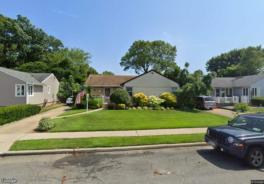
573 Buxton Ave West Hempstead, NY 11552
Estimated Value: $670,863 - $756,000
--
Bed
2
Baths
1,369
Sq Ft
$521/Sq Ft
Est. Value
About This Home
This home is located at 573 Buxton Ave, West Hempstead, NY 11552 and is currently estimated at $713,432, approximately $521 per square foot. 573 Buxton Ave is a home located in Nassau County with nearby schools including Hebrew Academy of Nassau County (HANC).
Ownership History
Date
Name
Owned For
Owner Type
Purchase Details
Closed on
May 19, 2023
Sold by
Sanchi John J and Sanchi Catherine A
Bought by
Sanchi John A and Randel Christine A
Current Estimated Value
Purchase Details
Closed on
Apr 10, 1996
Sold by
Herman Norman and Herman Geraldine
Bought by
Sanchi John and Sanchi Catherine
Home Financials for this Owner
Home Financials are based on the most recent Mortgage that was taken out on this home.
Original Mortgage
$145,000
Outstanding Balance
$5,862
Interest Rate
7.34%
Mortgage Type
Purchase Money Mortgage
Estimated Equity
$707,570
Create a Home Valuation Report for This Property
The Home Valuation Report is an in-depth analysis detailing your home's value as well as a comparison with similar homes in the area
Home Values in the Area
Average Home Value in this Area
Purchase History
| Date | Buyer | Sale Price | Title Company |
|---|---|---|---|
| Sanchi John A | -- | None Available | |
| Sanchi John A | -- | None Available | |
| Sanchi John A | -- | None Available | |
| Sanchi John | $182,000 | -- | |
| Sanchi John | $182,000 | -- |
Source: Public Records
Mortgage History
| Date | Status | Borrower | Loan Amount |
|---|---|---|---|
| Open | Sanchi John | $145,000 | |
| Closed | Sanchi John | $145,000 |
Source: Public Records
Tax History Compared to Growth
Tax History
| Year | Tax Paid | Tax Assessment Tax Assessment Total Assessment is a certain percentage of the fair market value that is determined by local assessors to be the total taxable value of land and additions on the property. | Land | Improvement |
|---|---|---|---|---|
| 2025 | $6,095 | $502 | $256 | $246 |
| 2024 | $3,088 | $496 | $253 | $243 |
| 2023 | $4,297 | $513 | $262 | $251 |
| 2022 | $4,297 | $524 | $267 | $257 |
| 2021 | $5,200 | $508 | $254 | $254 |
| 2020 | $4,572 | $492 | $447 | $45 |
| 2019 | $4,046 | $528 | $450 | $78 |
| 2018 | $4,060 | $563 | $0 | $0 |
| 2017 | $1,825 | $598 | $453 | $145 |
| 2016 | $4,250 | $633 | $432 | $201 |
| 2015 | $2,051 | $668 | $406 | $262 |
| 2014 | $2,051 | $668 | $406 | $262 |
| 2013 | $2,012 | $703 | $428 | $275 |
Source: Public Records
Map
Nearby Homes
- 600 Dogwood Ave
- 518 Nassau Blvd
- 576 Western Park Dr
- 582 Gaynor Place
- 350 Paul Place
- 757 Marion St
- 708 Anderson Ave
- 791 Caryl St
- 613 Adams Ave
- 635 Hempstead Ave
- 19 Richard St
- 303 Nassau Blvd
- 590 Langley Ave
- 686 Tanwood Dr
- 537 Madison Ave
- 279 Semton Blvd
- 726 Meisser St
- 231 Dogwood Ave
- 816 Anderson Ave
- 850 First Ave
- 567 Buxton Ave
- 579 Buxton Ave
- 574 Junard Blvd
- 578 Junard Blvd
- 561 Buxton Ave
- 585 Buxton Ave
- 570 Junard Blvd
- 572 Buxton Ave
- 562 Buxton Ave
- 584 Junard Blvd
- 578 Buxton Ave
- 555 Buxton Ave
- 591 Buxton Ave
- 584 Buxton Ave
- 590 Junard Blvd
- 564 June Ct
- 567 Edward Terrace
- 566 June Ct
- 590 Buxton Ave
- 549 Buxton Ave