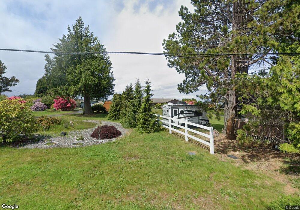
573 Cedar Park Dr Port Angeles, WA 98362
Estimated Value: $599,000 - $689,558
3
Beds
2
Baths
1,770
Sq Ft
$366/Sq Ft
Est. Value
About This Home
This home is located at 573 Cedar Park Dr, Port Angeles, WA 98362 and is currently estimated at $647,186, approximately $365 per square foot. 573 Cedar Park Dr is a home located in Clallam County with nearby schools including Roosevelt Elementary School, Stevens Middle School, and Port Angeles High School.
Ownership History
Date
Name
Owned For
Owner Type
Purchase Details
Closed on
Dec 21, 2015
Sold by
Houck Rodney Allen Von and Houck Olga Mikhailovna Von
Bought by
Fox Larry R and Prince Fox Nancy
Current Estimated Value
Purchase Details
Closed on
Feb 28, 2014
Sold by
Vonhouck Olga Mikhailovna
Bought by
Vonhouck Rodney Allen
Create a Home Valuation Report for This Property
The Home Valuation Report is an in-depth analysis detailing your home's value as well as a comparison with similar homes in the area
Home Values in the Area
Average Home Value in this Area
Purchase History
| Date | Buyer | Sale Price | Title Company |
|---|---|---|---|
| Fox Larry R | $245,651 | None Available | |
| Vonhouck Rodney Allen | -- | None Available |
Source: Public Records
Tax History Compared to Growth
Tax History
| Year | Tax Paid | Tax Assessment Tax Assessment Total Assessment is a certain percentage of the fair market value that is determined by local assessors to be the total taxable value of land and additions on the property. | Land | Improvement |
|---|---|---|---|---|
| 2021 | $5,354 | $447,584 | $104,334 | $343,250 |
| 2020 | $3,870 | $416,810 | $104,334 | $312,476 |
| 2018 | $3,427 | $376,675 | $104,334 | $272,341 |
| 2017 | $2,896 | $364,920 | $104,334 | $260,586 |
| 2016 | $2,896 | $301,175 | $104,334 | $196,841 |
| 2015 | $2,896 | $289,217 | $104,334 | $184,883 |
| 2013 | $2,896 | $272,549 | $104,334 | $168,215 |
| 2012 | $2,896 | $279,488 | $104,334 | $175,154 |
Source: Public Records
Map
Nearby Homes
- 72 Vista Ln
- 103 Island View Rd
- 122 Island View Rd
- 72 Sea View Dr
- 153 Strait View Dr
- 9999 Old Deer Park Rd
- 0 Deer Park Lot 1 Rd Unit NWM2345819
- 9999 E. Highway 101
- 1 XX Old Deer Park Rd
- 9999 E Greentree Ln
- 1415 View Vista Park Unit 1415 View Vista 1
- 9999 N Bagley Creek Rd
- 34 Wall St
- 999 N Bagley Creek Rd
- 0 NKA N Bagley Creek Rd
- NKA N Bagley Creek Rd
- 0 Cottonwood Ln
- 806 N Larch Ave
- 252 N Bagley Creek Rd
- 2909 E Defrang St
- 543 Cedar Park Dr
- 593 Cedar Park Dr
- 613 Cedar Park Dr
- 513 Cedar Park Dr
- 912 Strait View Dr
- 932 Strait View Dr
- 633 Cedar Park Dr
- 562 Cedar Park Dr
- 542 Cedar Park Dr
- 872 Strait View Dr
- 582 Cedar Park Dr
- 942 Strait View Dr
- 594 Cedar Park Dr
- 493 Cedar Park Dr
- 653 Cedar Park Dr
- 492 Cedar Park Dr
- 614 Cedar Park Dr
- 1417 Vista Ln
- 903 Strait View Dr
- 463 Cedar Park Dr