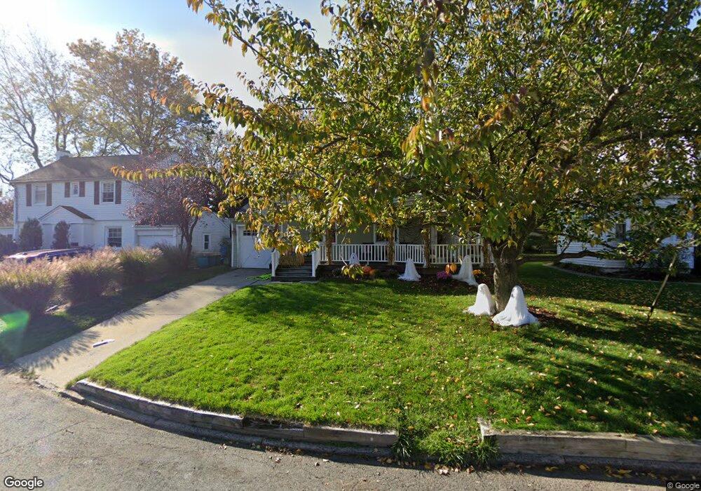
573 Clarendon Ct River Edge, NJ 07661
Estimated Value: $804,000 - $925,000
Studio
--
Bath
2,220
Sq Ft
$391/Sq Ft
Est. Value
About This Home
This home is located at 573 Clarendon Ct, River Edge, NJ 07661 and is currently estimated at $867,943, approximately $390 per square foot. 573 Clarendon Ct is a home located in Bergen County with nearby schools including Roosevelt Elementary School, River Dell Middle School, and River Dell Regional High School.
Ownership History
Date
Name
Owned For
Owner Type
Purchase Details
Closed on
Jun 20, 2000
Sold by
Selawsky John and Selawsky Catherine
Bought by
Sweeny Denis P
Current Estimated Value
Home Financials for this Owner
Home Financials are based on the most recent Mortgage that was taken out on this home.
Original Mortgage
$133,900
Outstanding Balance
$48,448
Interest Rate
8.59%
Mortgage Type
Purchase Money Mortgage
Estimated Equity
$819,495
Create a Home Valuation Report for This Property
The Home Valuation Report is an in-depth analysis detailing your home's value as well as a comparison with similar homes in the area
Home Values in the Area
Average Home Value in this Area
Purchase History
| Date | Buyer | Sale Price | Title Company |
|---|---|---|---|
| Sweeny Denis P | $254,900 | -- |
Source: Public Records
Mortgage History
| Date | Status | Borrower | Loan Amount |
|---|---|---|---|
| Open | Sweeny Denis P | $133,900 |
Source: Public Records
Tax History
| Year | Tax Paid | Tax Assessment Tax Assessment Total Assessment is a certain percentage of the fair market value that is determined by local assessors to be the total taxable value of land and additions on the property. | Land | Improvement |
|---|---|---|---|---|
| 2025 | $14,869 | $654,700 | $314,000 | $340,700 |
| 2024 | $14,498 | $375,000 | $180,800 | $194,200 |
| 2023 | $13,875 | $375,000 | $180,800 | $194,200 |
| 2022 | $13,875 | $375,000 | $180,800 | $194,200 |
| 2021 | $13,601 | $375,000 | $180,800 | $194,200 |
| 2020 | $13,388 | $375,000 | $180,800 | $194,200 |
| 2019 | $13,005 | $375,000 | $180,800 | $194,200 |
| 2018 | $12,731 | $375,000 | $180,800 | $194,200 |
| 2017 | $12,608 | $375,000 | $180,800 | $194,200 |
| 2016 | $13,453 | $409,400 | $180,800 | $228,600 |
| 2015 | $13,170 | $409,400 | $180,800 | $228,600 |
| 2014 | $13,195 | $374,900 | $180,800 | $194,100 |
Source: Public Records
Map
Nearby Homes
- 117 Monroe Ave
- 378 Windsor Rd
- 212 Monroe Ave
- 3 Elm Place
- 239 Greenway Terrace
- 409 Windsor Rd
- 457 the Fenway
- 406 Kinderkamack Rd
- 784 Kinderkamack Rd Unit 101
- 652 Harvard St
- 668 River Rd
- 33 Lincoln Ave
- 284 Continental Ave
- 12 Gainesborough Terrace Unit 1B
- 405 Valley Rd
- 374 Valley Rd
- 42 Howland Ave
- 302 Howland Ave
- 640 Stockton St
- 1061 Roosevelt Ave
- 575 Clarendon Ct
- 571 Clarendon Ct
- 577 Clarendon Ct
- 576 Bogert Rd
- 569 Clarendon Ct
- 572 Bogert Rd
- 580 Bogert Rd
- 572 Clarendon Ct
- 568 Bogert Rd
- 574 Clarendon Ct
- 579 Clarendon Ct
- 567 Clarendon Ct
- 584 Bogert Rd
- 576 Clarendon Ct
- 126 Manning Ave
- 128 Manning Ave
- 578 Clarendon Ct
- 581 Clarendon Ct
- 124 Manning Ave
- 586 Bogert Rd
Your Personal Tour Guide
Ask me questions while you tour the home.