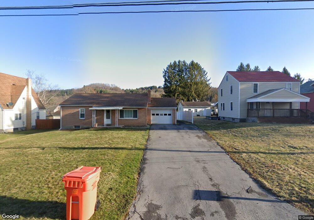
573 Coal Hill Rd Clearfield, PA 16830
Estimated Value: $140,945 - $163,000
--
Bed
--
Bath
--
Sq Ft
9,583
Sq Ft Lot
About This Home
This home is located at 573 Coal Hill Rd, Clearfield, PA 16830 and is currently estimated at $147,736. 573 Coal Hill Rd is a home located in Clearfield County with nearby schools including Clearfield Area Junior-Senior High School, St. Francis School, and Soaring Heights School - Clearfield.
Ownership History
Date
Name
Owned For
Owner Type
Purchase Details
Closed on
Nov 8, 2019
Sold by
Inlow Maurene E
Bought by
Arnold Dawn M
Current Estimated Value
Home Financials for this Owner
Home Financials are based on the most recent Mortgage that was taken out on this home.
Original Mortgage
$53,500
Outstanding Balance
$47,113
Interest Rate
3.65%
Mortgage Type
New Conventional
Estimated Equity
$100,623
Purchase Details
Closed on
Dec 5, 2002
Sold by
Danver Douglas J
Bought by
Arnold Dorothy J
Create a Home Valuation Report for This Property
The Home Valuation Report is an in-depth analysis detailing your home's value as well as a comparison with similar homes in the area
Home Values in the Area
Average Home Value in this Area
Purchase History
| Date | Buyer | Sale Price | Title Company |
|---|---|---|---|
| Arnold Dawn M | $70,000 | None Available | |
| Arnold Dorothy J | $79,000 | -- |
Source: Public Records
Mortgage History
| Date | Status | Borrower | Loan Amount |
|---|---|---|---|
| Open | Arnold Dawn M | $53,500 |
Source: Public Records
Tax History Compared to Growth
Tax History
| Year | Tax Paid | Tax Assessment Tax Assessment Total Assessment is a certain percentage of the fair market value that is determined by local assessors to be the total taxable value of land and additions on the property. | Land | Improvement |
|---|---|---|---|---|
| 2025 | $1,744 | $22,650 | $4,200 | $18,450 |
| 2024 | $283 | $11,325 | $2,100 | $9,225 |
| 2023 | $1,676 | $11,325 | $2,100 | $9,225 |
| 2022 | $1,631 | $11,325 | $2,100 | $9,225 |
| 2021 | $1,631 | $11,325 | $2,100 | $9,225 |
| 2020 | $1,631 | $11,325 | $2,100 | $9,225 |
| 2019 | $1,597 | $11,325 | $2,100 | $9,225 |
| 2018 | $1,499 | $11,325 | $2,100 | $9,225 |
| 2017 | $1,538 | $11,325 | $2,100 | $9,225 |
| 2016 | -- | $11,325 | $2,100 | $9,225 |
| 2015 | -- | $11,325 | $2,100 | $9,225 |
| 2014 | -- | $11,325 | $2,100 | $9,225 |
Source: Public Records
Map
Nearby Homes
- 41 Danvir Rd
- 617 Arrowhead Way
- 1309 Powell Ave
- 5315 Bigler Rd
- 1220 Lawhead St
- 1404 Powell Ave
- 5101 Bigler Rd
- 0 Williams Rd
- 708 Nichols St
- 1126 Sycamore Ln
- 332 W 5th St
- 525 S 3rd St
- 2050 Legion Rd
- 317 Turnpike Ave
- 0 Martin St Extension
- 0 Turnpike Ave
- 525 Martin St
- 514 Turnpike Ave
- 0 Chester and Cumberland St
- 222 Clearfield St
- 559 Coal Hill Rd
- 585 Coal Hill Rd
- 597 Coal Hill Rd
- 543 Coal Hill Rd
- 616 Fletcher Rd
- 535 Coal Hill Rd
- 619 Coal Hill Rd
- 614 Fletcher Rd
- 619 Fletcher Rd
- 521 Coal Hill Rd
- 617 Fletcher Rd
- 617 Armor St
- 615 Fletcher Rd
- 613 Fletcher Rd
- 612 Fletcher Rd
- 628 Armor St
- 493 Coal Hill Rd
- 610 Fletcher Rd
- 663 Coal Hill Rd
- 611 Fletcher Rd