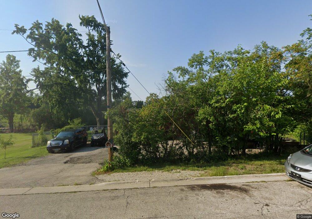
573 Kimball Ave Wauconda, IL 60084
Estimated Value: $233,000 - $272,663
--
Bed
1
Bath
1,215
Sq Ft
$208/Sq Ft
Est. Value
About This Home
This home is located at 573 Kimball Ave, Wauconda, IL 60084 and is currently estimated at $253,166, approximately $208 per square foot. 573 Kimball Ave is a home located in Lake County with nearby schools including Wauconda Grade School, Wauconda Middle School, and Wauconda High School.
Ownership History
Date
Name
Owned For
Owner Type
Purchase Details
Closed on
Feb 6, 2002
Sold by
Donahue Elizabeth and Donahue David
Bought by
Dutner Chad
Current Estimated Value
Home Financials for this Owner
Home Financials are based on the most recent Mortgage that was taken out on this home.
Original Mortgage
$140,298
Outstanding Balance
$58,217
Interest Rate
7.11%
Mortgage Type
FHA
Estimated Equity
$194,949
Purchase Details
Closed on
Apr 14, 1999
Sold by
Donohue Elizabeth and Hawthorne Flora
Bought by
Donohue Elizabeth and Donohue David
Purchase Details
Closed on
Apr 29, 1998
Sold by
Gebhard Andrew T and Gebhardt Helen
Bought by
Donohue Elizabeth and Hawthorne Flora
Home Financials for this Owner
Home Financials are based on the most recent Mortgage that was taken out on this home.
Original Mortgage
$113,600
Interest Rate
12.3%
Create a Home Valuation Report for This Property
The Home Valuation Report is an in-depth analysis detailing your home's value as well as a comparison with similar homes in the area
Home Values in the Area
Average Home Value in this Area
Purchase History
| Date | Buyer | Sale Price | Title Company |
|---|---|---|---|
| Dutner Chad | $142,500 | Premier Title | |
| Donohue Elizabeth | -- | -- | |
| Donohue Elizabeth | $142,000 | Chicago Title Insurance Co |
Source: Public Records
Mortgage History
| Date | Status | Borrower | Loan Amount |
|---|---|---|---|
| Open | Dutner Chad | $140,298 | |
| Previous Owner | Donohue Elizabeth | $113,600 |
Source: Public Records
Tax History Compared to Growth
Tax History
| Year | Tax Paid | Tax Assessment Tax Assessment Total Assessment is a certain percentage of the fair market value that is determined by local assessors to be the total taxable value of land and additions on the property. | Land | Improvement |
|---|---|---|---|---|
| 2024 | $6,048 | $76,089 | $22,752 | $53,337 |
| 2023 | $6,104 | $69,551 | $20,797 | $48,754 |
| 2022 | $6,104 | $61,940 | $18,963 | $42,977 |
| 2021 | $5,814 | $58,527 | $17,918 | $40,609 |
| 2020 | $5,617 | $55,783 | $17,078 | $38,705 |
| 2019 | $4,980 | $52,720 | $16,140 | $36,580 |
| 2018 | $5,262 | $51,779 | $20,751 | $31,028 |
| 2017 | $5,256 | $51,180 | $20,511 | $30,669 |
| 2016 | $4,922 | $48,466 | $19,423 | $29,043 |
| 2015 | $4,603 | $44,493 | $17,831 | $26,662 |
| 2014 | $4,761 | $46,396 | $20,019 | $26,377 |
| 2012 | $4,657 | $46,780 | $19,153 | $27,627 |
Source: Public Records
Map
Nearby Homes
- 25570 W High St
- 25578 W High St
- 25586 W High St
- 107 Hammond Ave
- 325 Sundown Ct Unit B
- 25721 W Lakeview Ave
- 315 Hill St Unit A
- 303 Stillwater Ct Unit 1106
- 309 Stillwater Ct Unit 1101
- 146 E Mill St
- 131 E Mill St Unit B104
- 125 E Mill St Unit D103
- 300 Barrington Rd
- 25235 W Hermosa Ave
- 315 Grand Blvd
- 124 Hubbard Ct
- 136 Hubbard Ct
- 450 N Main St Unit S307A
- 450 N Main St Unit S208A
- 701 Lake Shore Dr
- 572 Kimball Ave
- 566 Kimball Ave
- 555 Kimball Ave
- 560 Kimball Ave
- 556 Kimball Ave
- 25512 W High St
- 543 Kimball Ave
- 25504 W High St
- 546 Kimball Ave
- 25530 W High St
- 25558 W High St
- 540 Kimball Ave
- 536 Kimball Ave
- 535 Kimball Ave
- 25529 W High St
- 25519 W High St
- 530 Kimball Ave
- 25535 W High St
- 612 E Liberty St
- 608 E Liberty St