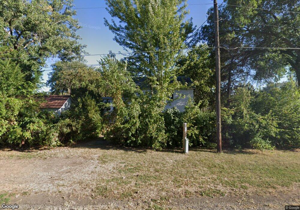
573 N 8th Ave Forsyth, MT 59327
Estimated Value: $102,000 - $202,000
3
Beds
1
Bath
893
Sq Ft
$165/Sq Ft
Est. Value
About This Home
This home is located at 573 N 8th Ave, Forsyth, MT 59327 and is currently estimated at $147,718, approximately $165 per square foot. 573 N 8th Ave is a home located in Rosebud County with nearby schools including Forsyth Elementary School, Forsyth Junior High School, and Forsyth High School.
Ownership History
Date
Name
Owned For
Owner Type
Purchase Details
Closed on
Aug 10, 2023
Sold by
Harrison Donald L
Bought by
Miner Misty
Current Estimated Value
Home Financials for this Owner
Home Financials are based on the most recent Mortgage that was taken out on this home.
Original Mortgage
$64,000
Outstanding Balance
$62,514
Interest Rate
6.71%
Mortgage Type
New Conventional
Estimated Equity
$85,204
Purchase Details
Closed on
Aug 30, 2021
Sold by
Jensen Jeanne E and Bills Danae M
Bought by
Harrison Donald L
Home Financials for this Owner
Home Financials are based on the most recent Mortgage that was taken out on this home.
Original Mortgage
$59,000
Interest Rate
2.2%
Mortgage Type
Future Advance Clause Open End Mortgage
Create a Home Valuation Report for This Property
The Home Valuation Report is an in-depth analysis detailing your home's value as well as a comparison with similar homes in the area
Purchase History
| Date | Buyer | Sale Price | Title Company |
|---|---|---|---|
| Miner Misty | $85,120 | Flying S Title And Escrow Of M | |
| Harrison Donald L | -- | First American Title Company |
Source: Public Records
Mortgage History
| Date | Status | Borrower | Loan Amount |
|---|---|---|---|
| Open | Miner Misty | $64,000 | |
| Previous Owner | Harrison Donald L | $59,000 |
Source: Public Records
Tax History
| Year | Tax Paid | Tax Assessment Tax Assessment Total Assessment is a certain percentage of the fair market value that is determined by local assessors to be the total taxable value of land and additions on the property. | Land | Improvement |
|---|---|---|---|---|
| 2025 | $1,011 | $94,300 | $0 | $0 |
| 2024 | $1,195 | $78,400 | $0 | $0 |
| 2023 | $1,088 | $78,400 | $0 | $0 |
| 2022 | $1,107 | $77,935 | $0 | $0 |
| 2021 | $616 | $31,245 | $0 | $0 |
| 2020 | $571 | $27,852 | $0 | $0 |
| 2019 | $590 | $27,852 | $0 | $0 |
| 2018 | $613 | $30,860 | $0 | $0 |
| 2017 | $260 | $30,860 | $0 | $0 |
| 2016 | $496 | $21,700 | $0 | $0 |
| 2015 | $198 | $21,700 | $0 | $0 |
| 2014 | $94 | $5,936 | $0 | $0 |
Source: Public Records
Map
Nearby Homes
Your Personal Tour Guide
Ask me questions while you tour the home.