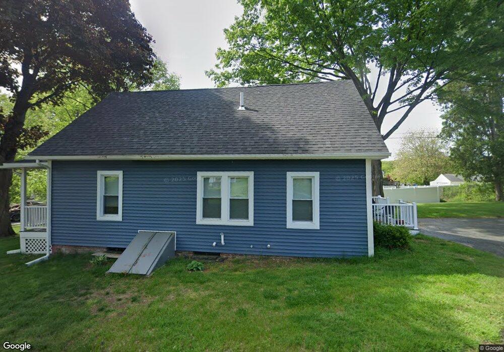
573 Piper Rd West Springfield, MA 01089
Estimated Value: $389,000 - $717,646
4
Beds
2
Baths
1,508
Sq Ft
$335/Sq Ft
Est. Value
About This Home
This home is located at 573 Piper Rd, West Springfield, MA 01089 and is currently estimated at $504,549, approximately $334 per square foot. 573 Piper Rd is a home located in Hampden County with nearby schools including St Thomas The Apostle School.
Create a Home Valuation Report for This Property
The Home Valuation Report is an in-depth analysis detailing your home's value as well as a comparison with similar homes in the area
Home Values in the Area
Average Home Value in this Area
Tax History Compared to Growth
Tax History
| Year | Tax Paid | Tax Assessment Tax Assessment Total Assessment is a certain percentage of the fair market value that is determined by local assessors to be the total taxable value of land and additions on the property. | Land | Improvement |
|---|---|---|---|---|
| 2025 | $9,615 | $646,600 | $295,800 | $350,800 |
| 2024 | $9,566 | $645,900 | $295,800 | $350,100 |
| 2023 | $9,789 | $624,700 | $295,800 | $328,900 |
| 2022 | $9,004 | $571,300 | $273,000 | $298,300 |
| 2021 | $8,526 | $504,500 | $246,300 | $258,200 |
| 2020 | $8,568 | $504,300 | $246,300 | $258,000 |
| 2019 | $8,553 | $504,300 | $246,300 | $258,000 |
| 2018 | $8,598 | $504,300 | $246,300 | $258,000 |
| 2017 | $8,598 | $504,300 | $246,300 | $258,000 |
| 2016 | $8,476 | $498,900 | $237,000 | $261,900 |
| 2015 | $8,337 | $490,700 | $232,800 | $257,900 |
| 2014 | $8,052 | $490,700 | $232,800 | $257,900 |
Source: Public Records
Map
Nearby Homes