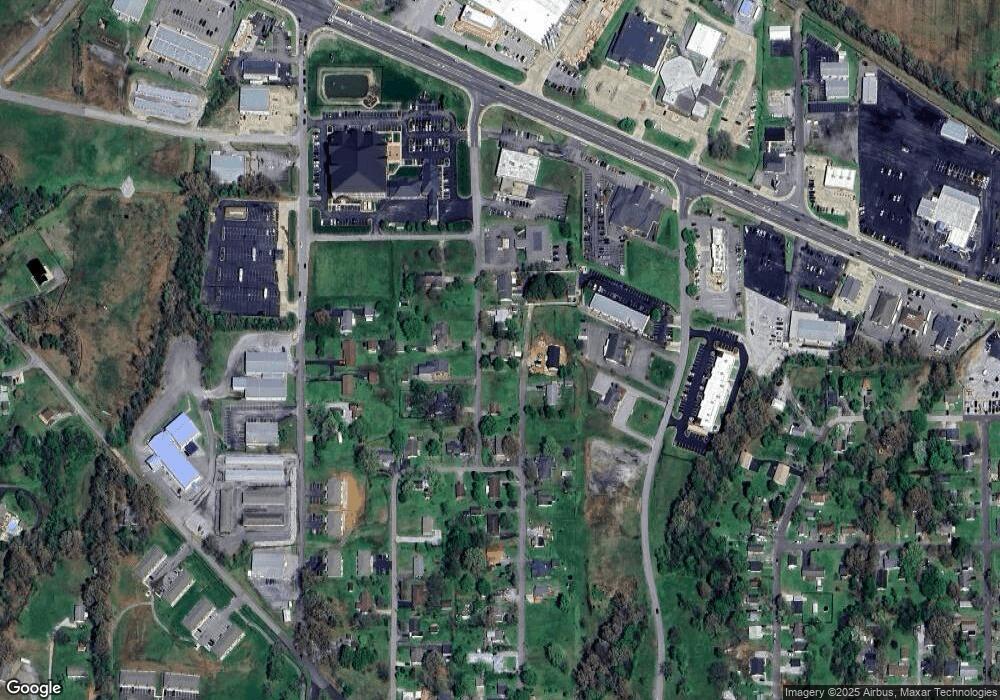
573 Powell Ln Benton, KY 42025
Estimated Value: $140,855 - $189,000
3
Beds
2
Baths
1,360
Sq Ft
$119/Sq Ft
Est. Value
About This Home
This home is located at 573 Powell Ln, Benton, KY 42025 and is currently estimated at $161,714, approximately $118 per square foot. 573 Powell Ln is a home located in Marshall County with nearby schools including Benton Elementary School and Marshall County High School.
Ownership History
Date
Name
Owned For
Owner Type
Purchase Details
Closed on
Sep 12, 2025
Sold by
Hendrickson David Lee and Hendrickson Sheila Faye
Bought by
Zaragoza Ahtziri Jackelyn and Morales Cristian J
Current Estimated Value
Home Financials for this Owner
Home Financials are based on the most recent Mortgage that was taken out on this home.
Original Mortgage
$150,000
Outstanding Balance
$150,000
Interest Rate
6.72%
Mortgage Type
New Conventional
Estimated Equity
$11,714
Create a Home Valuation Report for This Property
The Home Valuation Report is an in-depth analysis detailing your home's value as well as a comparison with similar homes in the area
Home Values in the Area
Average Home Value in this Area
Purchase History
| Date | Buyer | Sale Price | Title Company |
|---|---|---|---|
| Zaragoza Ahtziri Jackelyn | $190,000 | None Listed On Document |
Source: Public Records
Mortgage History
| Date | Status | Borrower | Loan Amount |
|---|---|---|---|
| Open | Zaragoza Ahtziri Jackelyn | $150,000 |
Source: Public Records
Tax History Compared to Growth
Tax History
| Year | Tax Paid | Tax Assessment Tax Assessment Total Assessment is a certain percentage of the fair market value that is determined by local assessors to be the total taxable value of land and additions on the property. | Land | Improvement |
|---|---|---|---|---|
| 2024 | $1,006 | $111,000 | $11,000 | $100,000 |
| 2023 | $608 | $111,000 | $11,000 | $100,000 |
| 2022 | $693 | $111,000 | $11,000 | $100,000 |
| 2021 | $553 | $96,000 | $10,500 | $85,500 |
| 2020 | $570 | $96,000 | $10,500 | $85,500 |
| 2019 | $570 | $96,000 | $10,500 | $85,500 |
| 2018 | $589 | $96,000 | $10,500 | $85,500 |
| 2017 | $590 | $96,000 | $10,500 | $85,500 |
| 2016 | $598 | $96,000 | $10,500 | $85,500 |
| 2015 | $584 | $94,300 | $12,000 | $82,300 |
| 2014 | $592 | $94,300 | $0 | $0 |
| 2010 | -- | $94,300 | $10,500 | $83,800 |
Source: Public Records
Map
Nearby Homes
- 220 Morningside Dr
- TBD W 5th St
- 604 Pine St
- 501 Old Symsonia Rd
- 608 Olive St
- 0000 Access Rd
- 931 Pine St
- 00 Main St
- 318 Main St
- 320 Main St
- 00 W 12th St
- 304 W 14th St Unit 306 W 14th St
- 1400 Walnut St
- 301 E 13th St
- 1305 Birch St
- 890 Mayfield Hwy
- 823 Sunset Dr
- 102 Harper Dr
- Lot 34 & 35 Woodtrace Subdivision
- Lot 33 Woodtrace Subdivision
- 000 Powell Ln
- 543 Powell Ln
- 550 Powell Ln
- 559 Powell Ln
- 570 Powell Ln
- 104 Morningside Dr
- 551 Powell Ln
- 582 Powell Ln
- 206 Morningside Dr
- 598 Powell Ln
- 201 Morningside Dr
- 614 W 7th St
- 000 W 6th St
- 116 Morningside Dr
- 212 Ash St
- 210 Ash St
- 114 Morningside Dr
- 111 Rayburn Dr
- 140 Commerce Blvd
- 113 Morningside Dr
