573 Ram Cat Rd Confluence, PA 15424
Henry Clay NeighborhoodEstimated Value: $171,807 - $298,000
3
Beds
1
Bath
1,170
Sq Ft
$206/Sq Ft
Est. Value
About This Home
This home is located at 573 Ram Cat Rd, Confluence, PA 15424 and is currently estimated at $240,952, approximately $205 per square foot. 573 Ram Cat Rd is a home located in Fayette County with nearby schools including Uniontown Area Senior High School.
Ownership History
Date
Name
Owned For
Owner Type
Purchase Details
Closed on
Aug 21, 2008
Sold by
Critchfield Elizabeth C and Critchfield Willian R
Bought by
Devlin Bernard J and Roeder Kathryn M
Current Estimated Value
Home Financials for this Owner
Home Financials are based on the most recent Mortgage that was taken out on this home.
Original Mortgage
$168,000
Interest Rate
6.11%
Mortgage Type
New Conventional
Purchase Details
Closed on
May 16, 2007
Sold by
Critchfield Elizabeth C and The Estate Of William R Critch
Bought by
Critchfield Elizabeth C and Critchfield William R
Create a Home Valuation Report for This Property
The Home Valuation Report is an in-depth analysis detailing your home's value as well as a comparison with similar homes in the area
Home Values in the Area
Average Home Value in this Area
Purchase History
| Date | Buyer | Sale Price | Title Company |
|---|---|---|---|
| Devlin Bernard J | $210,000 | None Available | |
| Critchfield Elizabeth C | $58,000 | None Available |
Source: Public Records
Mortgage History
| Date | Status | Borrower | Loan Amount |
|---|---|---|---|
| Closed | Devlin Bernard J | $168,000 |
Source: Public Records
Tax History
| Year | Tax Paid | Tax Assessment Tax Assessment Total Assessment is a certain percentage of the fair market value that is determined by local assessors to be the total taxable value of land and additions on the property. | Land | Improvement |
|---|---|---|---|---|
| 2025 | $875 | $34,200 | $13,080 | $21,120 |
| 2024 | $835 | $34,200 | $13,080 | $21,120 |
| 2023 | $1,669 | $34,200 | $13,080 | $21,120 |
| 2022 | $1,669 | $34,200 | $13,080 | $21,120 |
| 2021 | $1,669 | $34,200 | $13,080 | $21,120 |
| 2020 | $1,631 | $34,200 | $13,080 | $21,120 |
| 2019 | $1,498 | $34,200 | $13,080 | $21,120 |
| 2018 | $1,418 | $34,200 | $13,080 | $21,120 |
| 2017 | $1,418 | $34,200 | $13,080 | $21,120 |
| 2016 | -- | $34,200 | $13,080 | $21,120 |
| 2015 | -- | $34,200 | $13,080 | $21,120 |
| 2014 | -- | $68,400 | $26,160 | $42,240 |
Source: Public Records
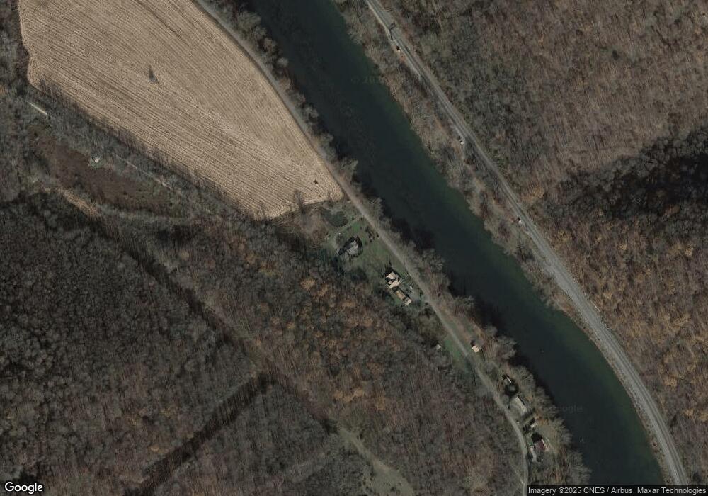
Map
Nearby Homes
- 305 Abram St
- 629 River Rd
- 626 Sterner St
- 631 Meyers St
- 833 Oden St
- 000
- 100 Jersey Hollow Rd
- 0 Klondike Rd Unit 22177073
- 0 Klondike Rd Unit 22177082
- 0 Klondike Rd Unit 22177074
- Lot 6 Klondike Rd
- Lot 2 Klondike Rd
- Lot 1 Klondike Rd
- 159 Cedar Rd
- #5 & 7 Laurel Rd
- 447 Lake Side Rd
- 230 Locust Rd
- 734 Main St
- Lot 4 Cranberry Rd
- 171 Mae West Rd
- 573 RaMcAt Rd
- 584 Ram Cat Rd
- 600 Ram Cat Rd
- 611 Ram Cat Rd
- 164 Huston Ln
- 146 Huston Ln
- 635 Ram Cat Rd
- 120 Huston Ln
- 541 Ram Cat Rd
- 106 Huston Ln
- 503 Ram Cat Rd
- 477 Ram Cat Rd
- 1414 Draketown Rd
- 0 Paddlers Ln
- 469 Ram Cat Rd
- 1388 Draketown Rd
- 172 Fairview Ave
- 172 Fairview Ave
- 1354 Draketown Rd
- 325 Railroad St
Your Personal Tour Guide
Ask me questions while you tour the home.