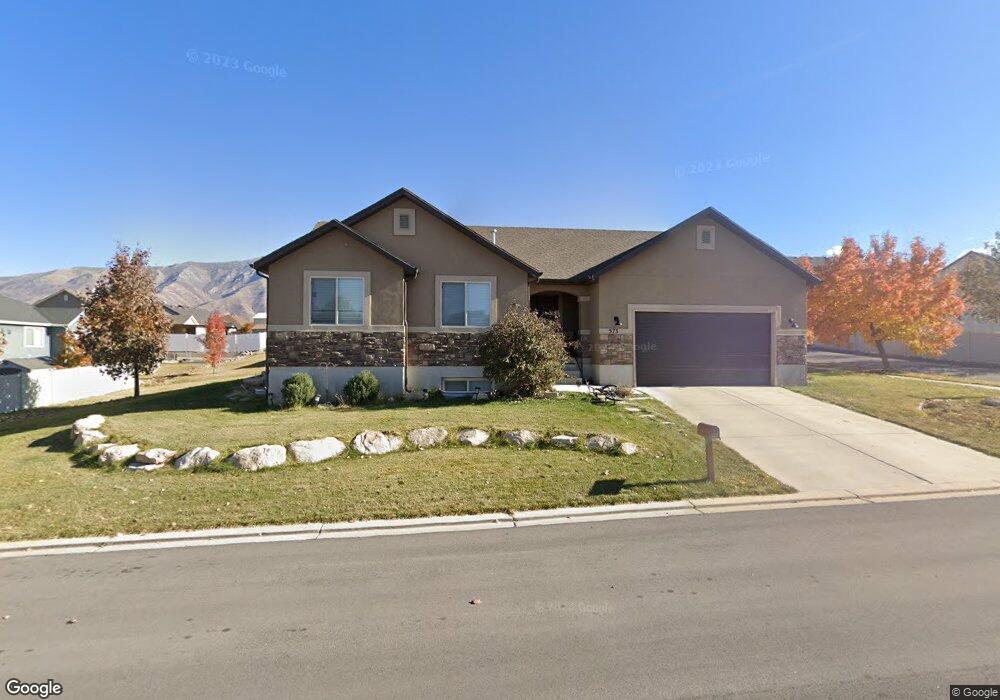
573 River Rock Dr Santaquin, UT 84655
Estimated Value: $491,584 - $553,000
3
Beds
2
Baths
1,353
Sq Ft
$384/Sq Ft
Est. Value
About This Home
This home is located at 573 River Rock Dr, Santaquin, UT 84655 and is currently estimated at $519,646, approximately $384 per square foot. 573 River Rock Dr is a home located in Utah County with nearby schools including Santaquin Elementary School, Payson Junior High School, and Payson High School.
Ownership History
Date
Name
Owned For
Owner Type
Purchase Details
Closed on
Jan 28, 2019
Sold by
Larose James John Mark and Larose James Lindsey
Bought by
James John M and James Lindsey L
Current Estimated Value
Home Financials for this Owner
Home Financials are based on the most recent Mortgage that was taken out on this home.
Original Mortgage
$238,400
Outstanding Balance
$210,019
Interest Rate
4.6%
Mortgage Type
New Conventional
Estimated Equity
$309,627
Purchase Details
Closed on
Jul 29, 2010
Sold by
Utah Home Builders Llc
Bought by
James John Mark and James Lindsey Larose
Home Financials for this Owner
Home Financials are based on the most recent Mortgage that was taken out on this home.
Original Mortgage
$171,490
Interest Rate
4.71%
Mortgage Type
FHA
Create a Home Valuation Report for This Property
The Home Valuation Report is an in-depth analysis detailing your home's value as well as a comparison with similar homes in the area
Home Values in the Area
Average Home Value in this Area
Purchase History
| Date | Buyer | Sale Price | Title Company |
|---|---|---|---|
| James John M | -- | Greenbrier Ttl Ins Agcy Inc | |
| James John Mark | -- | Affiliated First Title Comp |
Source: Public Records
Mortgage History
| Date | Status | Borrower | Loan Amount |
|---|---|---|---|
| Open | James John M | $238,400 | |
| Closed | James John Mark | $171,490 |
Source: Public Records
Tax History Compared to Growth
Tax History
| Year | Tax Paid | Tax Assessment Tax Assessment Total Assessment is a certain percentage of the fair market value that is determined by local assessors to be the total taxable value of land and additions on the property. | Land | Improvement |
|---|---|---|---|---|
| 2025 | $2,191 | $250,690 | $146,500 | $309,300 |
| 2024 | $2,191 | $218,185 | $0 | $0 |
| 2023 | $2,272 | $226,985 | $0 | $0 |
| 2022 | $2,383 | $245,520 | $0 | $0 |
| 2021 | $2,043 | $326,400 | $82,600 | $243,800 |
| 2020 | $1,959 | $303,200 | $68,800 | $234,400 |
| 2019 | $1,819 | $287,900 | $65,200 | $222,700 |
| 2018 | $1,704 | $257,100 | $58,000 | $199,100 |
| 2017 | $1,589 | $128,095 | $0 | $0 |
| 2016 | $1,498 | $118,360 | $0 | $0 |
| 2015 | $1,438 | $111,430 | $0 | $0 |
| 2014 | $1,368 | $105,765 | $0 | $0 |
Source: Public Records
Map
Nearby Homes
- 583 Sunset Dr
- 633 Little Rock Dr
- 926 S Tanner Rd
- 402 Topaz Dr
- 346 Red Rock Dr
- 1022 Vista Ridge Dr Unit 149
- 1202 W Hidden Spring Dr
- 1126 Valley View Dr
- 1144 Crest Dale Ln
- 1186 S Vista Ridge Dr
- 1245 Sageberry Dr
- 1263 Crest Dale Ln
- 1287 Cedar Pass Dr Unit 113
- 1858 W View Cove
- 1851 W View Cove
- 1859 W View Cove
- 1276 W View Dr
- 1302 W View Dr
- 1341 W View Dr
- 1334 W View Dr
- 573 River Rock Dr Unit 27
- 585 Copper Ln Unit 88
- 585 Copper Ln
- 557 River Rock Dr Unit 28
- 591 River Rock Dr
- 591 River Rock Dr Unit 26
- 591 Copper Ln
- 556 Stone Way Unit 97
- 556 Stone Way
- 602 Copper Ct Unit 87
- 602 Copper Ct
- 536 Stone Way
- 562 Stone Way
- 603 River Rock Dr Unit 25
- 597 Copper Ln
- 526 Stone Way Unit 4
- 574 Stone Way Unit 95
- 612 Copper Ct Unit 86
- 615 River Rock Dr
- 615 River Rock Dr Unit 24