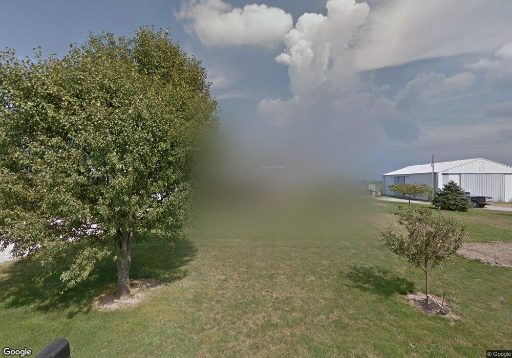
5730 Mapleleaf Rd Custar, OH 43511
Estimated Value: $233,000 - $355,000
3
Beds
3
Baths
1,976
Sq Ft
$163/Sq Ft
Est. Value
About This Home
This home is located at 5730 Mapleleaf Rd, Custar, OH 43511 and is currently estimated at $322,220, approximately $163 per square foot. 5730 Mapleleaf Rd is a home located in Wood County with nearby schools including McComb Elementary School, McComb Middle School, and Mccomb Local High School.
Ownership History
Date
Name
Owned For
Owner Type
Purchase Details
Closed on
Apr 29, 2022
Sold by
Phillips James A and Phillips Karen L
Bought by
Phillips Karen L
Current Estimated Value
Purchase Details
Closed on
Jan 25, 1990
Bought by
Phillips James A
Create a Home Valuation Report for This Property
The Home Valuation Report is an in-depth analysis detailing your home's value as well as a comparison with similar homes in the area
Purchase History
| Date | Buyer | Sale Price | Title Company |
|---|---|---|---|
| Phillips Karen L | -- | -- | |
| Phillips James A | -- | -- |
Source: Public Records
Tax History
| Year | Tax Paid | Tax Assessment Tax Assessment Total Assessment is a certain percentage of the fair market value that is determined by local assessors to be the total taxable value of land and additions on the property. | Land | Improvement |
|---|---|---|---|---|
| 2025 | $3,242 | $97,545 | $11,025 | $86,520 |
| 2024 | $3,225 | $97,545 | $11,025 | $86,520 |
| 2023 | $3,225 | $97,550 | $11,030 | $86,520 |
| 2021 | $3,036 | $76,970 | $9,000 | $67,970 |
| 2020 | $3,143 | $76,970 | $9,000 | $67,970 |
| 2019 | $2,770 | $70,360 | $8,580 | $61,780 |
| 2018 | $2,684 | $70,360 | $8,580 | $61,780 |
| 2017 | $1,240 | $70,360 | $8,580 | $61,780 |
| 2016 | $2,413 | $68,530 | $7,070 | $61,460 |
| 2015 | $2,413 | $68,530 | $7,070 | $61,460 |
| 2014 | $2,520 | $68,530 | $7,070 | $61,460 |
| 2013 | $2,537 | $62,300 | $6,440 | $55,860 |
Source: Public Records
Map
Nearby Homes
- 24642 Hammansburg Rd
- 0 Hockenberry Rd
- 0 Deshler Rd
- 2970 Otsego Pike
- 22759 Defiance Pike
- 23117 Defiance Pike
- 117 Meadow Ln
- 115 Meadow Ln
- 113 N Meadow Ln
- 116 Meadow Ln
- 119 N Harvest St
- 112 N Harvest Dr
- 121 N Harvest St
- 118 N Harvest Dr
- 120 N Harvest Dr
- 102 N Harvest Dr
- 107 N Harvest St
- 125 N Harvest Dr
- 117 N Harvest St
- 123 N Harvest St
Your Personal Tour Guide
Ask me questions while you tour the home.