Estimated Value: $457,000 - $494,000
4
Beds
3
Baths
1,934
Sq Ft
$242/Sq Ft
Est. Value
About This Home
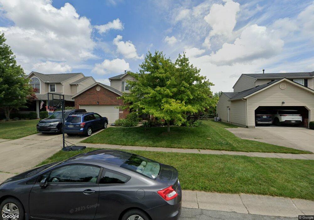
This home is located at 5730 Stone Trace Dr, Mason, OH 45040 and is currently estimated at $467,352, approximately $241 per square foot. 5730 Stone Trace Dr is a home located in Warren County with nearby schools including Mason Intermediate Elementary School, Mason Middle School, and William Mason High School.
Ownership History
Date
Name
Owned For
Owner Type
Purchase Details
Closed on
Sep 11, 2002
Sold by
Luo Guanju
Bought by
Ploetz Ronald C and Ploetz Tamara
Current Estimated Value
Home Financials for this Owner
Home Financials are based on the most recent Mortgage that was taken out on this home.
Original Mortgage
$173,500
Outstanding Balance
$71,248
Interest Rate
6.54%
Mortgage Type
New Conventional
Estimated Equity
$396,104
Purchase Details
Closed on
Apr 28, 1999
Sold by
Troyer Drew D
Bought by
Li Zuo Guangju Luo
Home Financials for this Owner
Home Financials are based on the most recent Mortgage that was taken out on this home.
Original Mortgage
$126,800
Interest Rate
7.05%
Mortgage Type
New Conventional
Purchase Details
Closed on
Dec 8, 1997
Sold by
Dixon Builders & Dev Inc
Bought by
James M Dixon Trustee
Create a Home Valuation Report for This Property
The Home Valuation Report is an in-depth analysis detailing your home's value as well as a comparison with similar homes in the area
Home Values in the Area
Average Home Value in this Area
Purchase History
| Date | Buyer | Sale Price | Title Company |
|---|---|---|---|
| Ploetz Ronald C | $173,500 | -- | |
| Li Zuo Guangju Luo | $158,500 | -- | |
| James M Dixon Trustee | $156,160 | -- |
Source: Public Records
Mortgage History
| Date | Status | Borrower | Loan Amount |
|---|---|---|---|
| Open | Ploetz Ronald C | $173,500 | |
| Previous Owner | Li Zuo Guangju Luo | $126,800 |
Source: Public Records
Tax History
| Year | Tax Paid | Tax Assessment Tax Assessment Total Assessment is a certain percentage of the fair market value that is determined by local assessors to be the total taxable value of land and additions on the property. | Land | Improvement |
|---|---|---|---|---|
| 2025 | $5,401 | $125,980 | $35,000 | $90,980 |
| 2024 | $5,401 | $125,980 | $35,000 | $90,980 |
| 2023 | $5,112 | $98,346 | $19,057 | $79,289 |
| 2022 | $5,023 | $98,347 | $19,058 | $79,289 |
| 2021 | $4,778 | $98,347 | $19,058 | $79,289 |
| 2020 | $4,651 | $81,277 | $15,750 | $65,527 |
| 2019 | $4,310 | $81,277 | $15,750 | $65,527 |
| 2018 | $4,292 | $81,277 | $15,750 | $65,527 |
| 2017 | $3,989 | $69,080 | $15,967 | $53,113 |
| 2016 | $4,100 | $69,080 | $15,967 | $53,113 |
| 2015 | $4,075 | $69,080 | $15,967 | $53,113 |
| 2014 | $3,804 | $59,550 | $13,770 | $45,790 |
| 2013 | $3,813 | $68,140 | $15,750 | $52,390 |
Source: Public Records
Map
Nearby Homes
- 5369 N Shore Place
- 5661 Harbourside Dr
- 5576 Winding Cape Way
- 6285 Greenwood Ct
- 6315 Greenwood Ct
- 9018 Boylston St
- 8845 Suncrest Ln
- 6266 Trailwood Ct
- 9024 Beacon St
- 6418 Sherman Terrace Rd
- 8588 Charleston Creek Dr
- 6304 Trailwood Ct
- 9240 Beacon St
- 9246 Beacon St
- 8606 Charleston Valley Dr
- 5686 Farm Field Dr
- 5449 Old Farm Dr
- 5434 Old Farm Dr
- 6713 Quail Lake
- 6589 Quail Lake
- 5738 Stone Trace Dr
- 5720 Stone Trace Dr
- 5748 Stone Trace Dr
- 5698 Stone Trace Dr
- 5710 Stone Trace Dr
- 8443 Cameron Ct
- 8431 Cameron Ct
- 5668 Stone Trace Dr
- 5758 Stone Trace Dr
- 5731 Stone Trace Dr
- 8457 Cameron Ct
- 5723 Stone Trace Dr
- 5741 Stone Trace Dr
- 5715 Stone Trace Dr
- 5749 Stone Trace Dr
- 8411 Cameron Ct
- 5766 Stone Trace Dr
- 8467 Cameron Ct
- 5705 Stone Trace Dr
- 5757 Stone Trace Dr
Your Personal Tour Guide
Ask me questions while you tour the home.